SL-TF 60: Santiago del Teide - Arguayo (Almond Blossom Route)
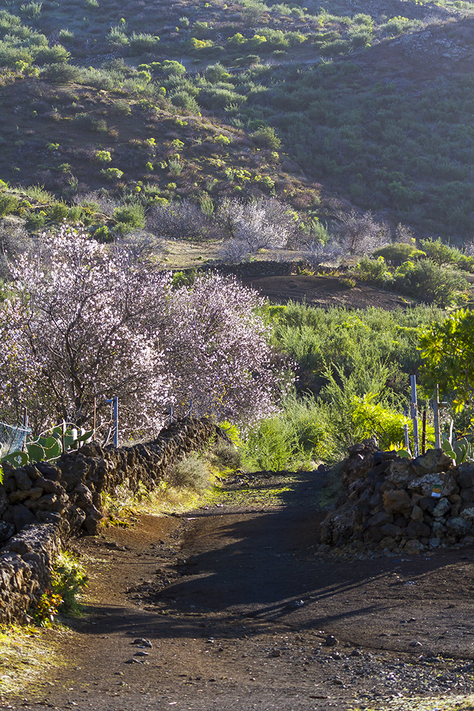
The official almond-blossom route: 9.12 km one-way between Santiago del Teide and the Cha Domitila pottery centre in Arguayo, sharing a stretch with the Chinyero trail.
Getting there by bus
- CONSULTORIO36 m awayLines: 325 · 460 · 461 · 462
- EL HOYO232 m awayLines: 325 · 460 · 461 · 462
- SANTIAGO DEL TEIDE (T)359 m awayLines: 325 · 460 · 461 · 462 · 355
Timetables change by season: check them on the day. titsa.com
Stop and line data: TITSA, via the Cabildo de Tenerife open data portal (CC BY).
Map and track
Zoom into the route, inspect the trail and download the file before setting out.
Elevation profile
<h2>The official almond-blossom route</h2><p>SL-TF 60 links Santiago del Teide town with Arguayo over 9.12 km. Turismo de Tenerife officially names it the "Ruta del Almendro en Flor" (Almond Blossom Route), and it is the reference trail for the municipality's annual almond-blossom campaign, usually held between late January and February depending on the year. Outside that window it remains a valid walk through the mid-altitude countryside, just without the blossom as the main draw.</p><h2>A stretch shared with Chinyero</h2><p>The route starts at the square next to the Town Hall and largely follows the same path as PR-TF 43.3 towards Chinyero, crossing remnants of the 1909 lava flow before branching off towards Arguayo. If you would rather do the circular loop around the volcano instead of continuing to Arguayo, that is our <a href="/en/routes/pr-tf-43-3-ruta-circular-chinyero/">PR-TF 43.3</a> listing.</p><h2>The finish in Arguayo: Cha Domitila pottery centre</h2><p>The trail ends beside the Cha Domitila Pottery Centre and Ethnographic Museum (Carretera General de Arguayo, 35), named after one of the area's best-known potters and dedicated to the traditional wheel-free Guanche pottery technique. Usual hours are Tuesday to Saturday 10:00-13:00 and 16:00-19:00, and Sunday 10:00-14:00; confirm current hours before planning your visit, as municipal centres can close for maintenance.</p><h2>Variants: Valle de Arriba and Las Manchas</h2><p>The SL-TF 60 network has two short links that let you vary the walk: <a href="/en/routes/sl-tf-60-1-valle-de-arriba/">SL-TF 60.1</a> from Valle de Arriba, and <a href="/en/routes/sl-tf-60-2-las-manchas/">SL-TF 60.2</a> from Las Manchas. Neither replaces the main stretch; they are useful for shortening the walk or combining it with another route if you plan your return transport well.</p><h2>Reading the map</h2><p>The map shows the official track downloaded from Turismo de Tenerife. You can zoom, pan and download the GPX file for a compatible navigation app. The original file has no point-by-point elevation, so no elevation profile is available, though the total ascent and descent figures are. The download does not replace on-site signage or checking the trail's current condition.</p><h2>Before you go</h2><p>This is a one-way walk: decide how you will get back before setting out, whether by public transport, taxi or a second car. Carry enough water, sun protection, hiking shoes and layered clothing, as temperature changes with altitude. During almond-blossom season the trail can see more traffic than usual; always respect farmland and marked paths.</p><h2>Information to verify</h2><p>Trails can face temporary closures for works, weather or farm work on neighbouring land. Check official notices on the day and respect any closure on site. If signage contradicts the downloaded file, always follow the official signs.</p>
More routes
SL-TF 60.2: Las Manchas
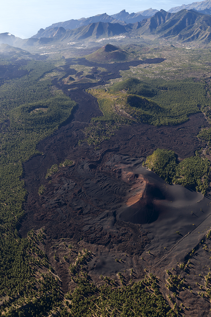
A local link from Las Manchas to the SL-TF 60 network through rural volcanic scenery near Bilma.
- 2.3 km
- 1 h 15 min
- Easy
- Las Manchas
SL-TF 60.1: Valle de Arriba
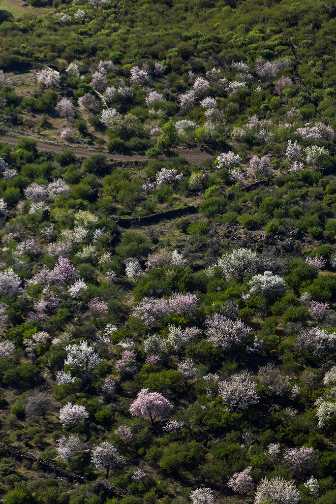
A short link from Valle de Arriba into the local upland trail network.
- 1.01 km
- 30 min
- Easy
- Valle de Arriba
PR-TF 43.2: Los Partidos de Franquis - Chinyero
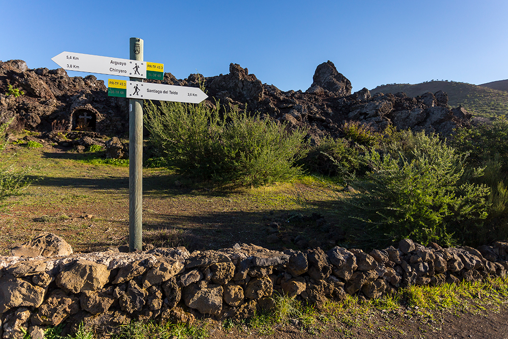
A linear spur climbing from the Pino Loro track to the PR-TF 43 junction near Chinyero.
- 4.7 km
- 1 h 45 min
- Easy
- Los Partidos de Franquis
How to visit Masca: booking, prices and requirements for the ravine