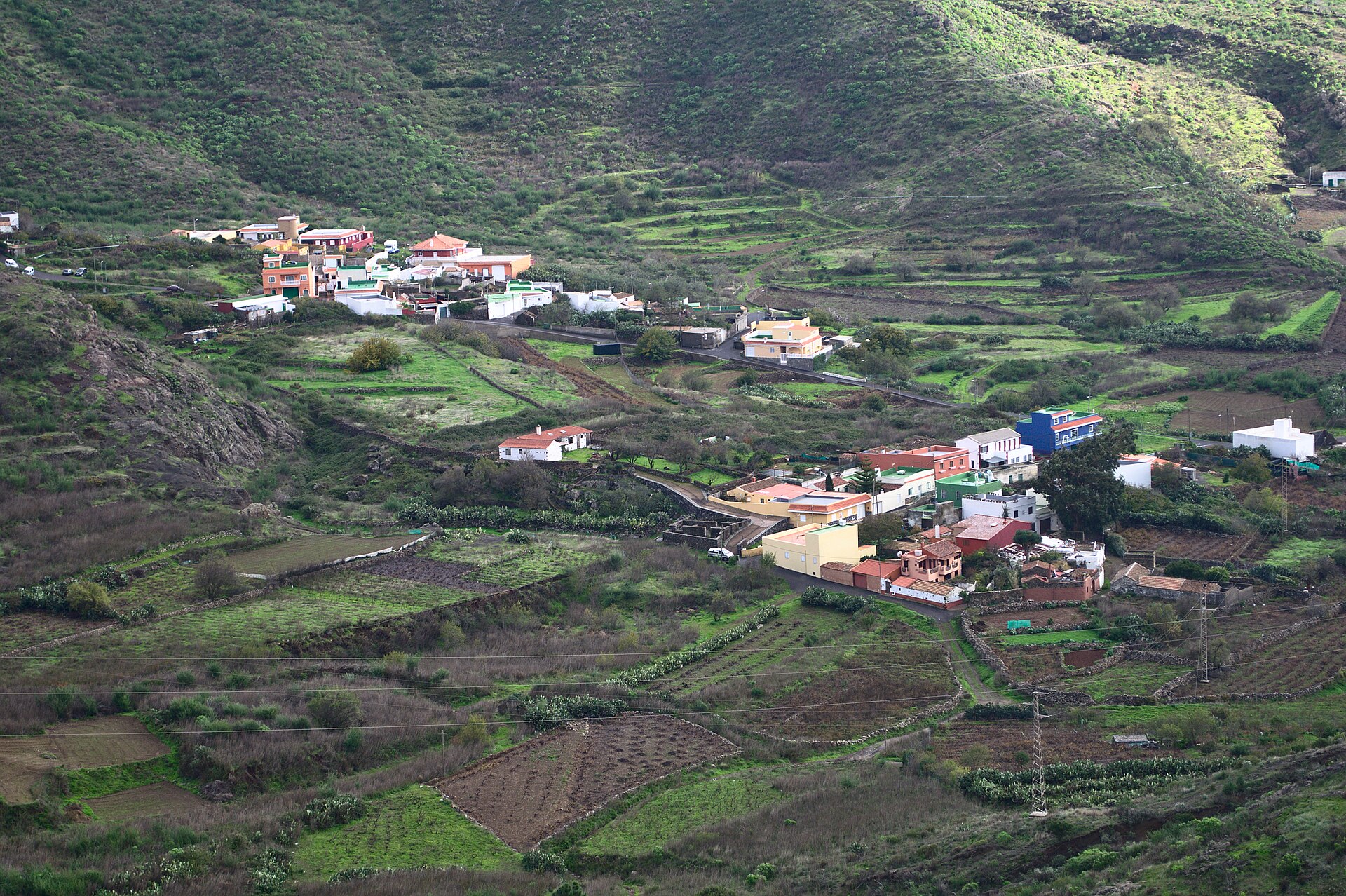
PR-TF 65.4: Valle de Arriba – Arguayo
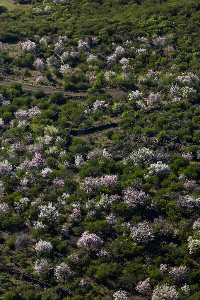
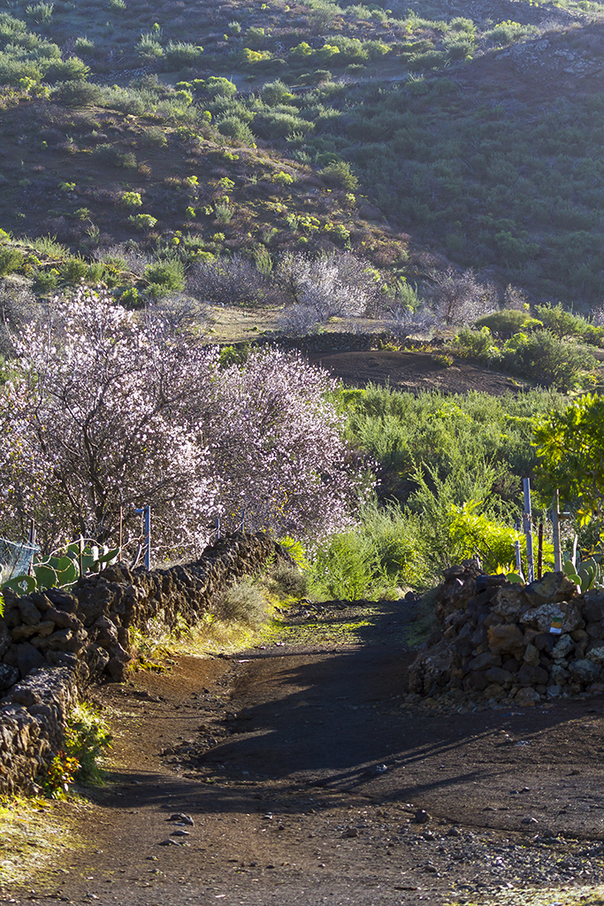
Sendero entre almendros, coladas volcánicas y tradición alfarera.
Track not available yet
- 7.5 km
- 3 h 40 min
- Moderate
- Valle de Arriba
Waymarked trails with interactive maps, technical details, safety notes and downloadable tracks.
Useful links for this section.
Check the ascent, the duration and the state of the trail, and always look at the official closure notices. The Masca ravine is the exception: it needs a booking, has a daily quota and footwear is checked at the entrance.
How to visit Masca: booking, prices and requirements for the ravine
Sendero entre almendros, coladas volcánicas y tradición alfarera.
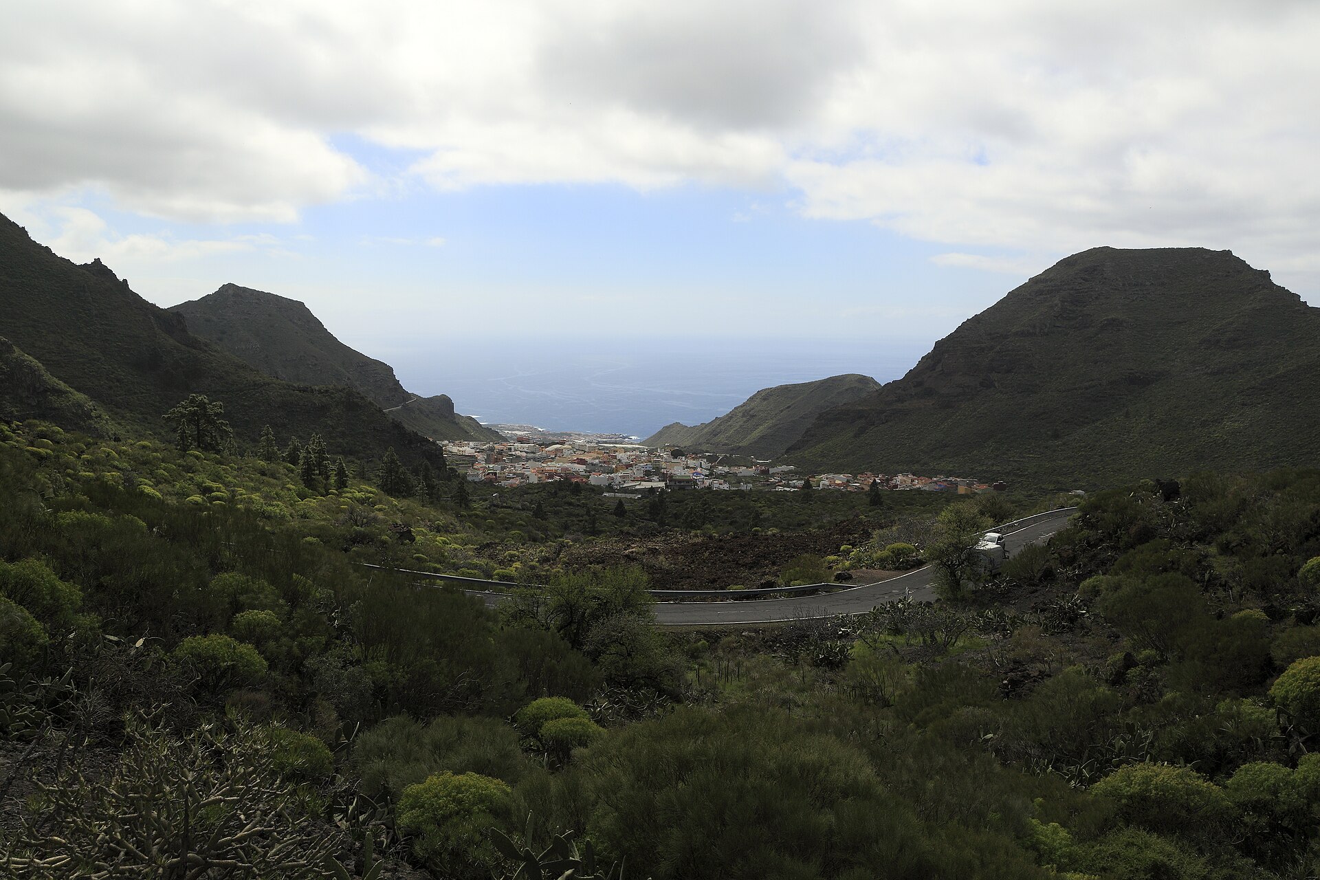
A linear descent from Santiago del Teide to Puerto de Santiago along the traditional PR-TF 65 trail.
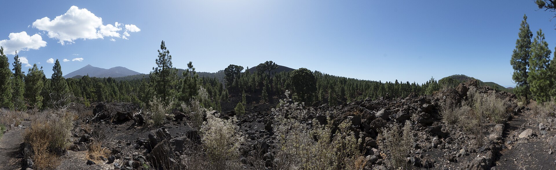
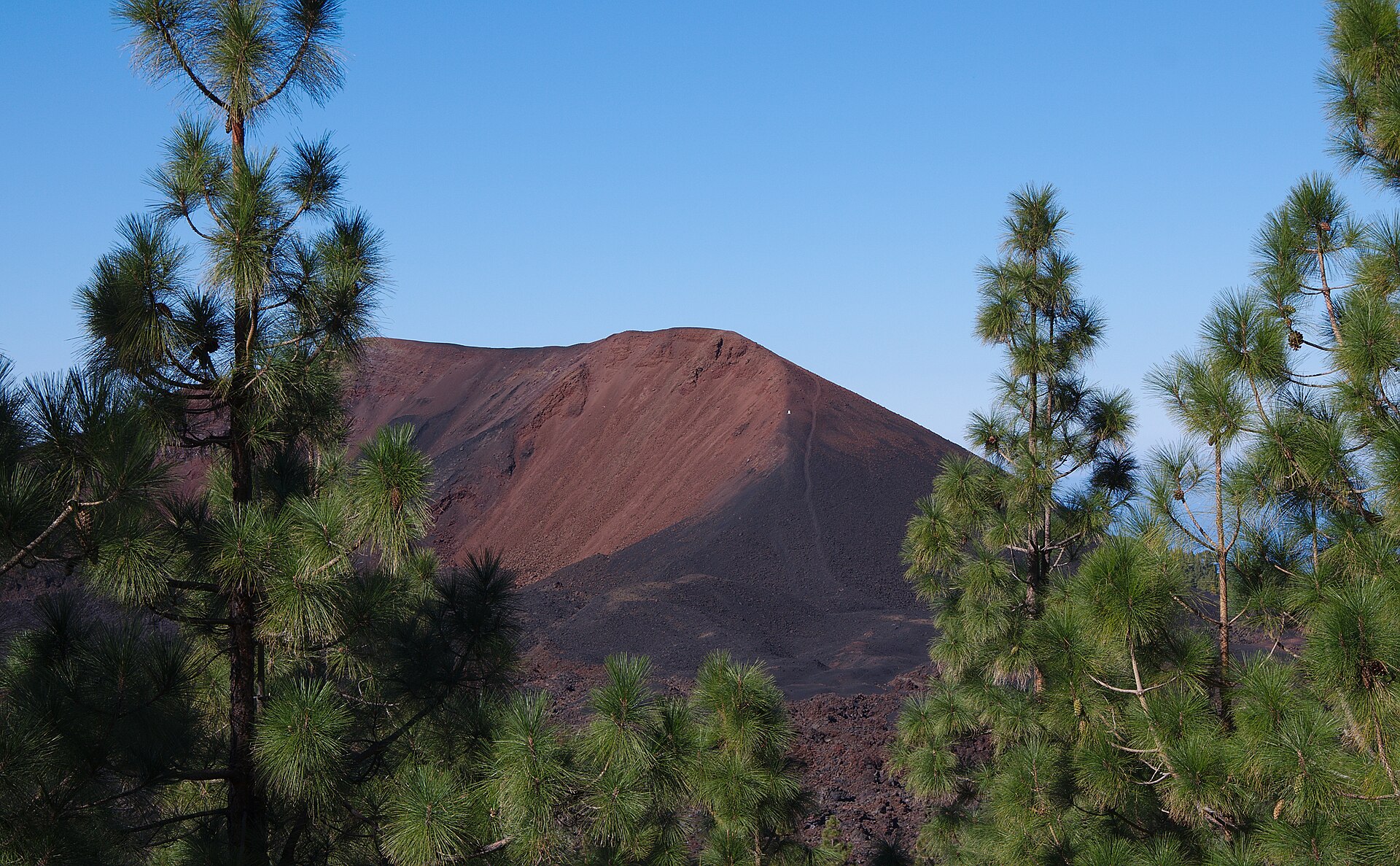
Ruta volcánica de baja dificultad alrededor del entorno del Chinyero.
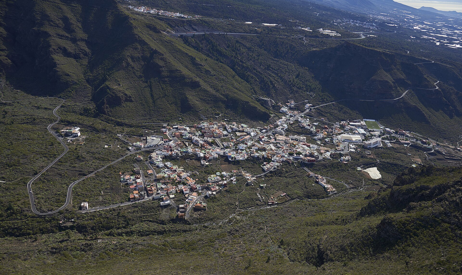
Ruta tradicional por la Cruz de los Misioneros y la montaña de Guama. Consta como cerrada temporalmente en…
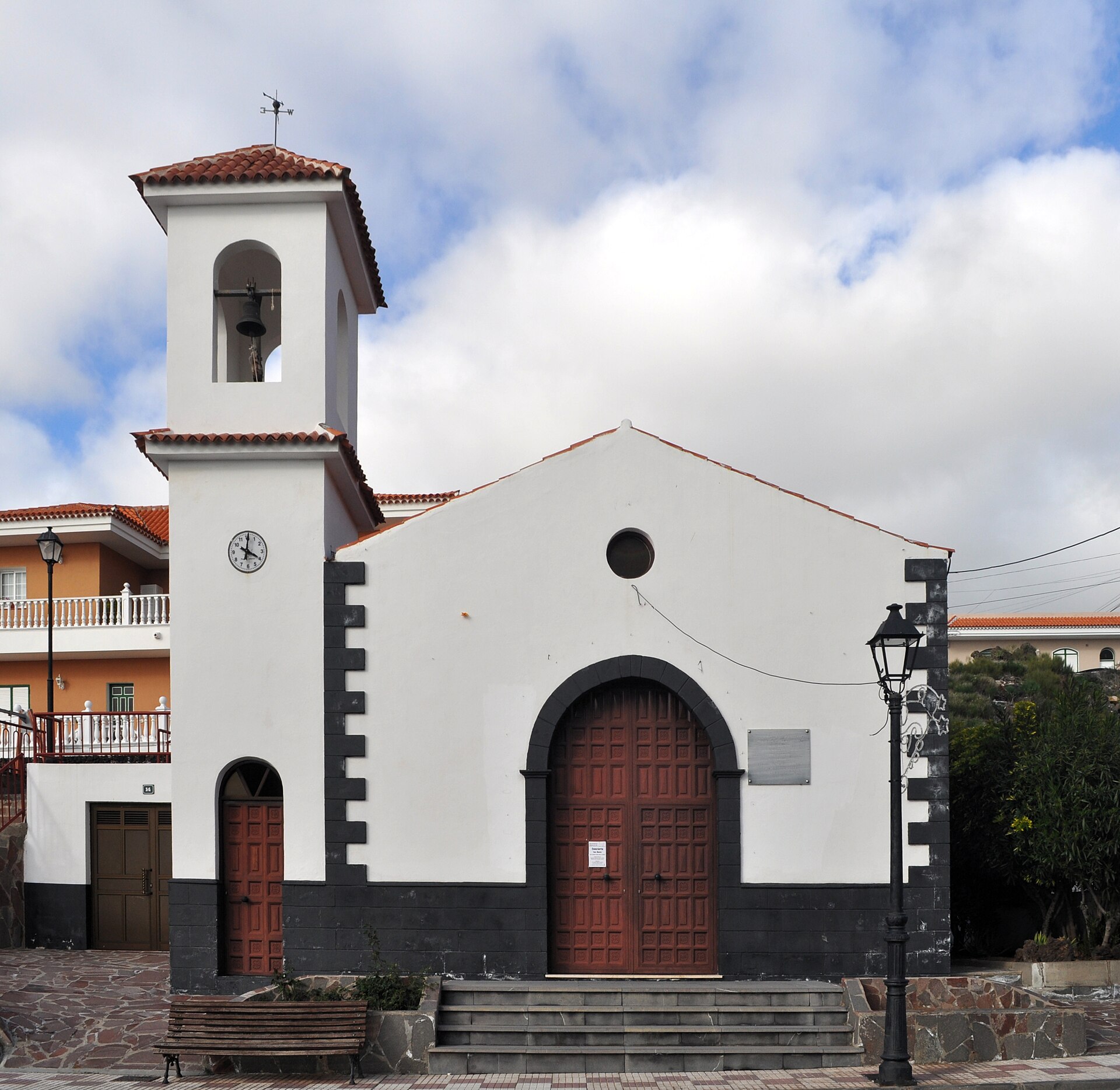
Circular por Camino Real entre retamas, tramos empedrados y panorámicas hacia Risco Blanco y el macizo de Teno.
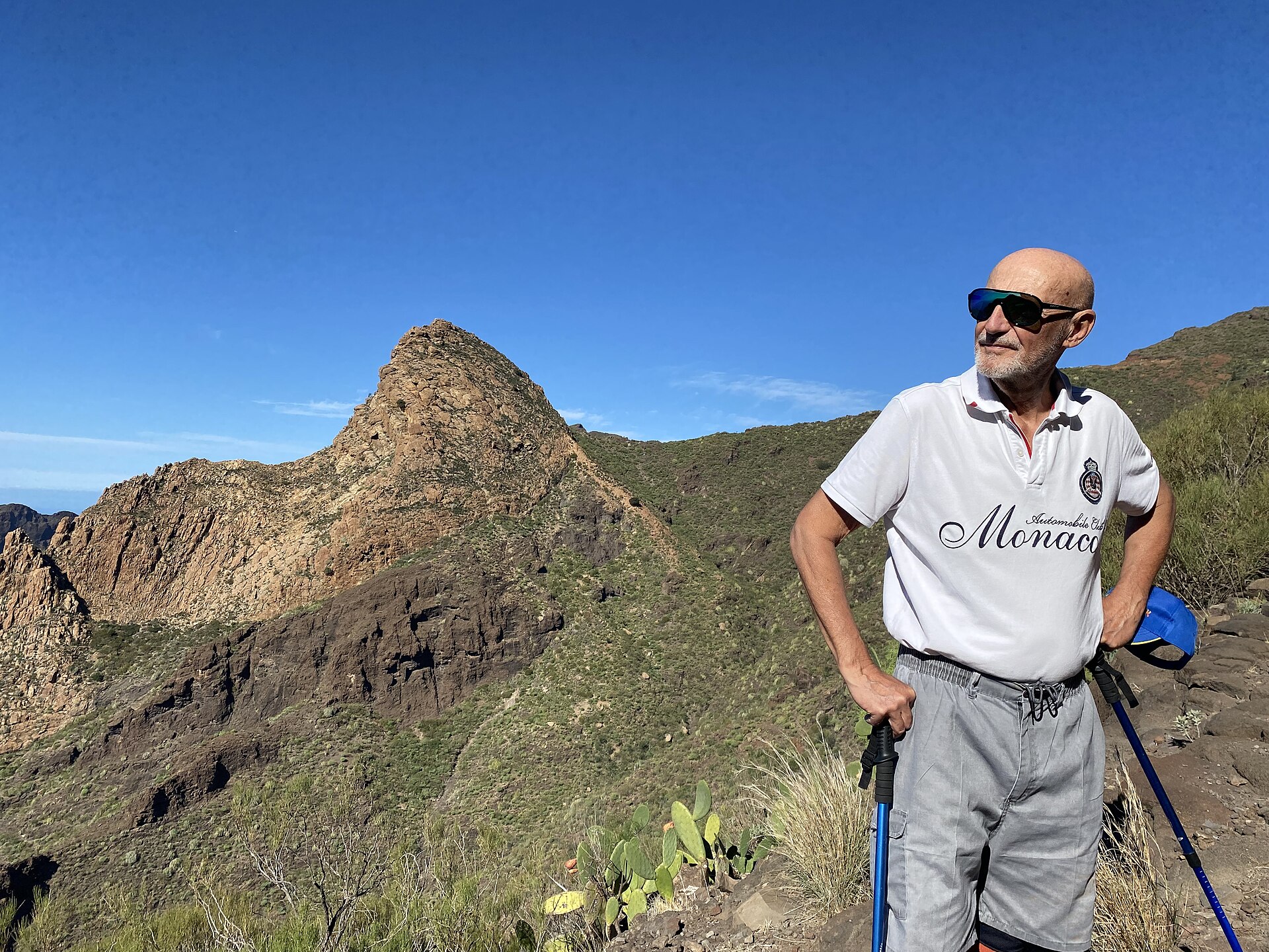
Camino tradicional hasta la base de Risco Blanco.
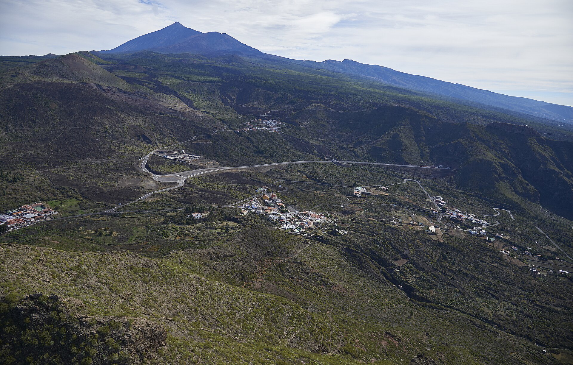
Enlace corto entre El Molledo y Las Manchas por caminos de paisaje y devoción.
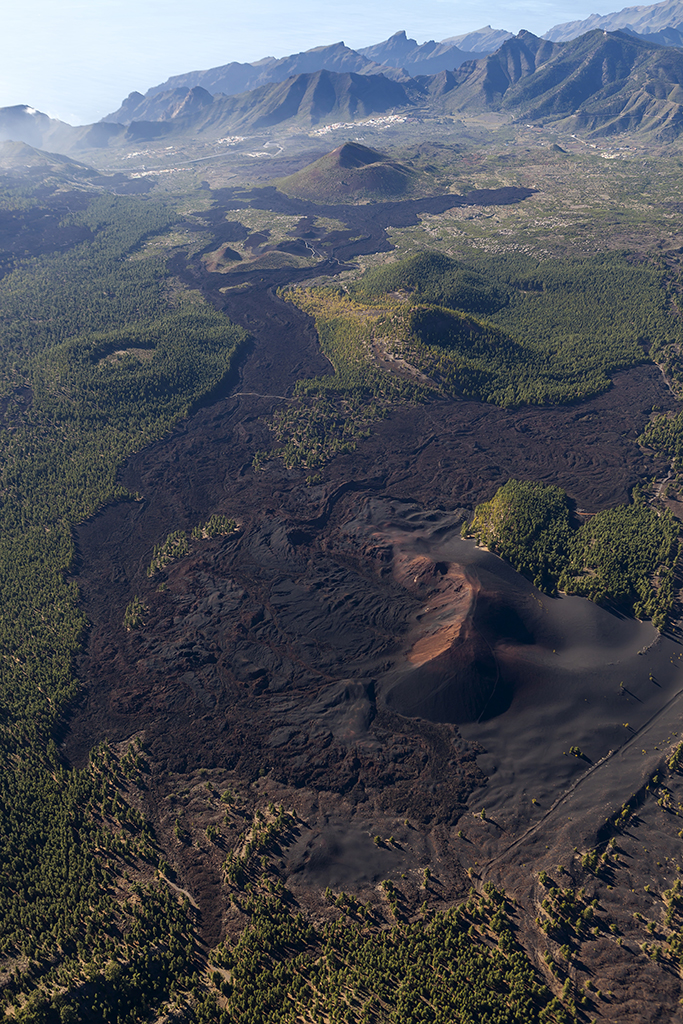
A local link from Las Manchas to the SL-TF 60 network through rural volcanic scenery near Bilma.
A short link from Valle de Arriba into the local upland trail network.
The official almond-blossom route: 9.12 km one-way between Santiago del Teide and the Cha Domitila pottery centre in…
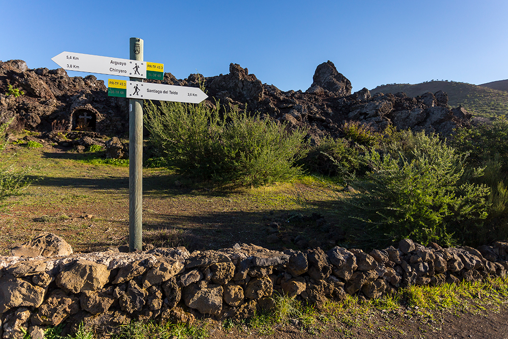
A linear spur climbing from the Pino Loro track to the PR-TF 43 junction near Chinyero.
Itinerario de ecoturismo para descubrir el paisaje, el patrimonio rural, los almendros y el entorno volcánico del municipio.
Locate the area before booking, parking or travelling. Open each listing to confirm specific details.