PR-TF 65: Santiago del Teide – Puerto de Santiago
A linear descent from Santiago del Teide to Puerto de Santiago along the traditional PR-TF 65 trail.
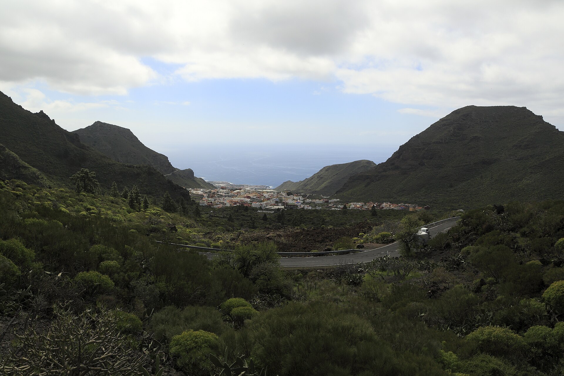
Foto: Falk2 / Wikimedia Commons · CC BY-SA 4.0
Getting there by bus
- CONSULTORIO36 m awayLines: 325 · 460 · 461 · 462
- EL HOYO232 m awayLines: 325 · 460 · 461 · 462
- SANTIAGO DEL TEIDE (T)359 m awayLines: 325 · 460 · 461 · 462 · 355
Timetables change by season: check them on the day. titsa.com
Stop and line data: TITSA, via the Cabildo de Tenerife open data portal (CC BY).
Map and track
Zoom into the route, inspect the trail and download the file before setting out.
Elevation profile
This route links the upper town with the coast through agricultural landscapes, Tamaimo and the Valle de Santiago. It is a linear walk with a long descent, so arrange transport back before setting out. Use the interactive map to inspect the official track and download the GPX for a compatible navigation app. Check current closures and weather, carry water and sun protection, and follow trail signs over the downloaded file whenever they differ.
More routes
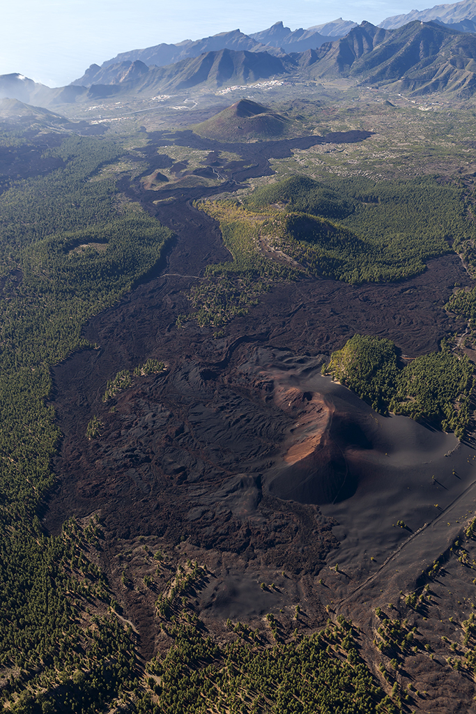
SL-TF 60.2: Las Manchas
A local link from Las Manchas to the SL-TF 60 network through rural volcanic scenery near Bilma.
- 2.3 km
- 1 h 15 min
- Easy
- Las Manchas
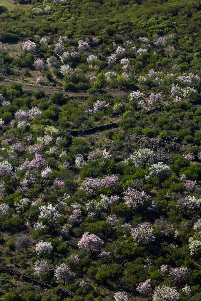
SL-TF 60.1: Valle de Arriba
A short link from Valle de Arriba into the local upland trail network.
- 1.01 km
- 30 min
- Easy
- Valle de Arriba
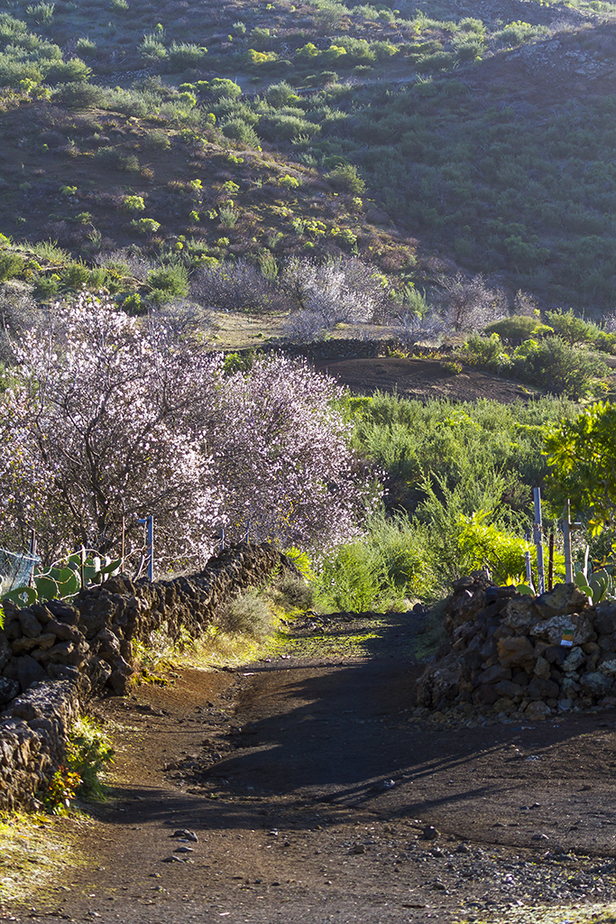
SL-TF 60: Santiago del Teide – Arguayo (Ruta del Almendro en Flor)
The official almond-blossom route: 9.12 km one-way between Santiago del Teide and the Cha Domitila pottery centre in…
- 9.12 km
- 4 h
- Moderate
- Santiago del Teide
How to visit Masca: booking, prices and requirements for the ravine