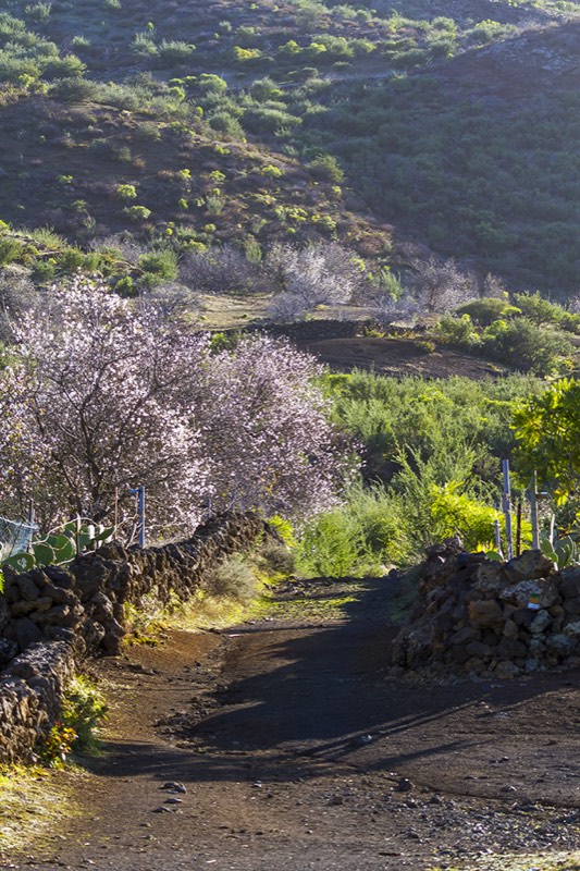
SL-TF 60 turns two rural visits into a 9.12 km, roughly four-hour walk. It is not a simple stroll between villages: the route is linear, crosses uneven ground and requires a return plan.
Arrange the return first
Check buses, taxis or a second vehicle before setting out. Do not assume an immediate connection will be available in Arguayo.
Understand the effort
This is not high mountain terrain, but it includes climbing, descending, rural paths and volcanic ground. Carry water, sun protection and grippy footwear.
Read the landscape
The route links farmland, almond trees, lava and upland views. Stay on the marked line, keep out of fields and avoid shortcuts.
Finish with local context
If Cha Domitila is open, it gives meaning to the finish in Arguayo. Confirm opening before departure rather than building the whole plan around an uncertain visit.