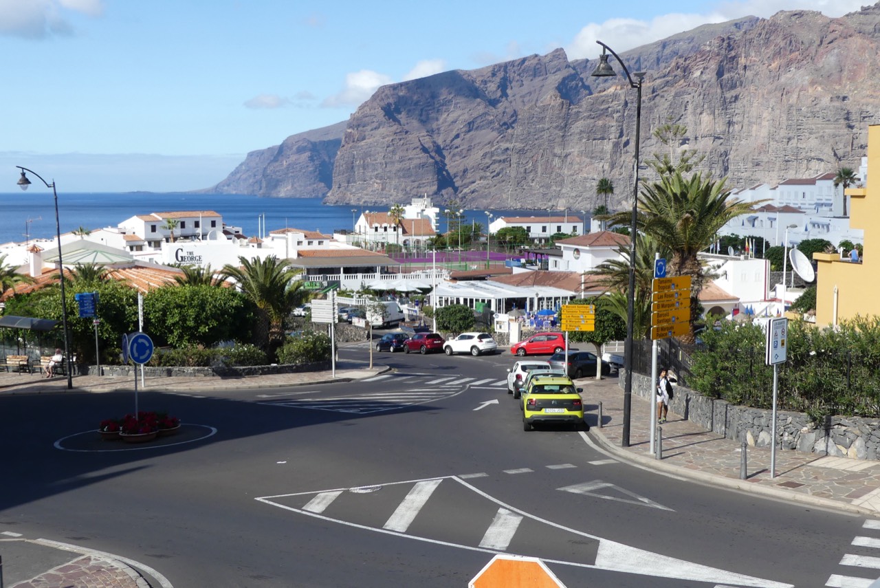
Puerto de Santiago is the central coastal village of Santiago del Teide: a former fishing village that has grown more than any other in the municipality, between Los Gigantes and Playa de la Arena. Its natural cove sheltered by a breakwater, its Fisherman’s Museum and its tourist office make it a practical base for staying, eating and getting around the coast. Checked on 15 September 2026.
Quick facts about Puerto de Santiago
Location
West coast of Tenerife, between Los Gigantes and Playa de la Arena.
Area
1.21 km², the municipality’s most populated village.
Origin
Former fishing village in a sheltered cove.
Cultural landmark
Fisherman’s Museum, with over a hundred ship models.
Tourist office
Monday to Friday, 7:30 to 15:00.
Distance to the village centre
14 km from Santiago del Teide.
From fishing village to the municipality’s fastest-growing centre
Puerto de Santiago developed in a small cove protected by a natural breakwater, one of the most important natural shelters on Tenerife’s west coast. Its origin is tied to fishing, which gradually gave way to tourism in recent decades. Unlike Los Gigantes, whose registered population has fallen, Puerto de Santiago’s population grew from 3,491 in 2000 to 5,566 in 2020, making it the municipality’s most populated village.
The Fisherman’s Museum
The Fisherman’s Museum pays tribute to local fishing tradition with over a hundred models of historic ships, decorated by artist Bernard Romain. It is one of the municipality’s most distinctive cultural stops and pairs well with a walk along the seafront.
Seafront promenade and tourist office
The seafront promenade holds much of the local atmosphere: shops, terraces and access to the tourist information office, useful for maps and questions before getting around the area. See the Puerto de Santiago listing for the exact phone number and hours.
Nearby beaches
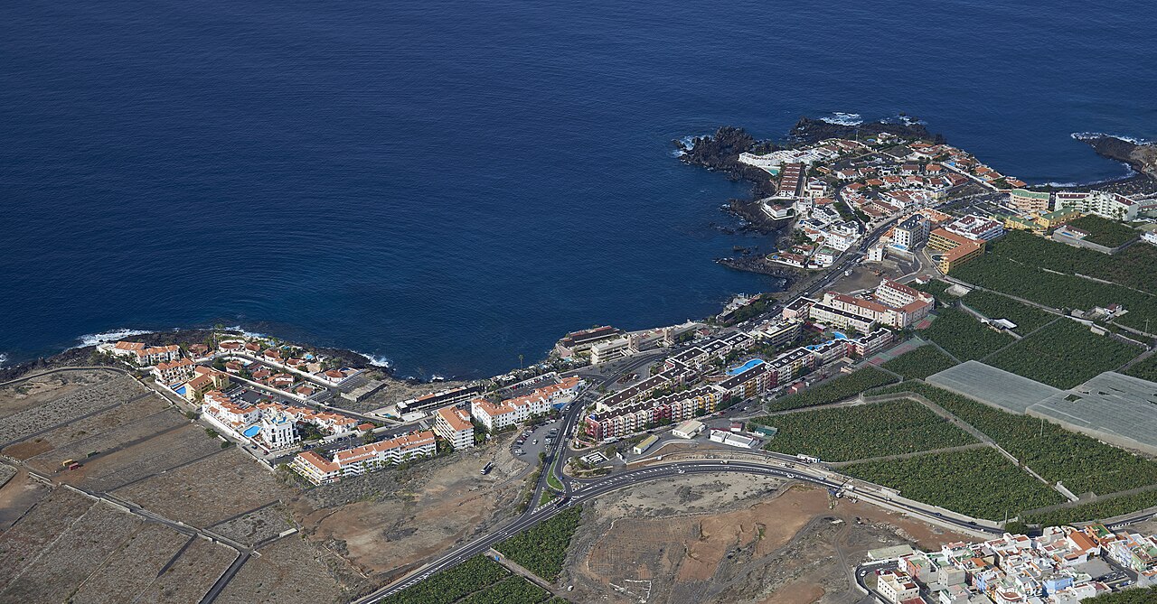
Puerto de Santiago has no large beach of its own, but it is a short distance from two of the municipality’s best known: Playa de la Arena, the municipality’s largest urban black-sand beach, and Playa de Los Guíos, next to Los Gigantes. Both are common choices for anyone staying here.

Where to eat and stay
The seafront promenade and its surroundings hold much of the municipality’s dining scene: see our where to eat in Puerto de Santiago guide. For accommodation, browse the full accommodation listing.
Getting there and neighbours
Puerto de Santiago is about 14 km from Santiago del Teide village, with bus connections and road access from both airports: see our how to get to Santiago del Teide guide. The village links directly to Los Gigantes, a short walk along the coastal promenade, and to Playa de la Arena.
Puerto Santiago, Puerto de Santiago and nearby resorts
Puerto Santiago and Puerto de Santiago both refer to this coastal settlement in Santiago del Teide, Tenerife. Add the island and the exact address when navigating. Do not confuse it with Playa de Santiago on La Gomera or the inland municipal centre of Santiago del Teide.
Distinguish three nearby references: Los Gigantes has the marina and Los Guíos beach; Puerto de Santiago has the fishing quay, village beach and Fisherman’s Museum; Playa de la Arena is another coastal sector. Continuous development does not put every hotel, beach and boat departure in the same place. Check the precise location before walking with luggage or travelling to an embarkation point.
The population figure in the historical description relates to its 2020 reference, rather than a live population register. Fishing heritage, residential life, accommodation and services all contribute to the town’s identity.
Fishing heritage, the quay and island connections
The quay and sheltered harbour explain the village’s fishing and trading past. The council chronology records eighteenth-century exchanges with La Gomera, including Gomera honey arriving in 1778. The waterfront was a place of work and communication as well as today’s visitor landscape.
Tourism brought accommodation, restaurants and further development. The quay and museum help explain the earlier livelihood. Stay in public areas and keep working access clear. For leisure boats, check the operator’s actual meeting point: many depart from Los Gigantes rather than this quay.

A walk around Puerto de Santiago
Combine centre and waterfront, starting wherever suits you and keeping a convenient return. Some connections include slopes or steps. This is a suggested sequence, not a measured route or an assessment of accessibility.
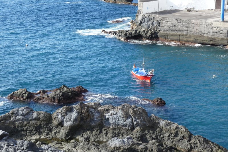
Fishing quay
Start by the cove and see the setting behind the village’s maritime identity. Use public access and distinguish visitor areas from working space.
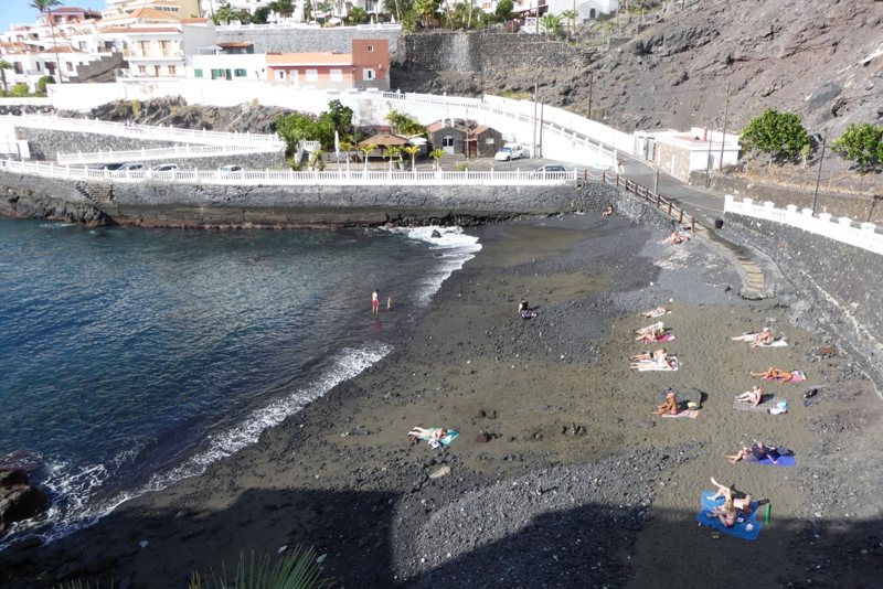
Puerto de Santiago beach
Visit the beach beside the quay, separate from La Arena and Los Guíos. Enjoy the sea from land if you prefer. Municipal information identifies an area without a lifeguard, so check signs and conditions before considering a swim.
Fisherman’s Museum and Quinto Centenario avenue
Continue to the museum on Avenida Quinto Centenario. Bernard Romain’s sculptural façade merits a stop from outside; confirm opening if you want to explore the exhibition.
Squares, shops and a village break
Allow time for local life and a drink or meal. Check the events calendar for activities in the squares. You do not need to cover the whole coast to enjoy this settlement.
La Hondura as an optional extension
Consult the La Hondura promenade listing and choose an out-and-back section suited to your energy and available access. Allow time to return if continuing towards views of Los Gigantes.
Following the walk: maritime centre and La Hondura extension
Use the Fisherman’s Museum as an arrival reference, then locate the quay. A short quay–Playa Chica surroundings–museum circuit and return is roughly 0.6–0.9 km depending on the public connection chosen. Neither sand nor breakwater access is required.
La Hondura is a separate extension: allow approximately 2 km extra out and back from the museum area, excluding any additional walking within the coastal promenade. These are map estimates, not field measurements or guaranteed walking times.
- Quay surroundings by Calle del Puerto
From the museum locate the connection between Avenida Quinto Centenario and Calle del Puerto. The marker is a land-based public reference. Leave working access clear and do not use the breakwater as a shortcut.
- Playa Chica viewed from village access
The beach is beside the quay. Use public passages around Calle del Puerto and La Vica; some connections have steps. If closed, view from outside and return without descending to sand or crossing rocks.
View listing · Locate on the map · Walking directions for this leg
- Return towards the Fisherman’s Museum
Return to Avenida Quinto Centenario and the museum façade. Finish the short circuit here. Check an alternative through village streets if a particular stepped connection is unsuitable; the circuit is not guaranteed step-free.
View listing · Locate on the map · Walking directions for this leg
- Optional shops detour: Los Ángeles and La Tosca
El Paseo’s listing locates the corner of Los Ángeles and La Tosca. It is a detour from the short circuit, not a beach stop. Confirm opening and reorient towards Quinto Centenario afterwards.
View listing · Locate on the map · Walking directions for this leg
- Services on Avenida V Centenario
The pharmacy at number 46 is a services reference, not a promise of current opening or duty service. Choose between returning to the museum and continuing towards Calle La Hondura.
View listing · Locate on the map · Walking directions for this leg
- Extension via Calle La Hondura to the coast
Use Avenida Quinto Centenario and Calle La Hondura towards the mapped coastal approach. The marker is an entrance reference, not the promenade’s full extent. Follow designated streets and passages; do not assume a flat, continuous seafront connection.
View listing · Locate on the map · Walking directions for this leg
For a shorter visit return to the museum after the quay and Playa Chica view. At La Hondura agree a turning point and return through village streets; the individual walking links help you check alternatives for your mobility.
Neither beach access nor working areas of the quay are compulsory. Respect closures and signs. La Hondura, shops and detours add distance and are not all immediately beside the museum.
Walk back to the reference point · See points on the village map · © OpenStreetMap contributors · ODbL
The village beach, La Arena and Los Guíos
Puerto de Santiago does have its own beach beside the fishing quay. The earlier description about the lack of a large beach refers to size, not an absence of a beach. It is an urban dark-sand cove, listed by Tenerife Tourism as Playa de Puerto Santiago. Consult the beach listing to locate it.
Playa de la Arena is a separate beach in its namesake coastal sector. Los Guíos is beside the Los Gigantes marina. Compare access from your accommodation, required facilities and conditions on the day; a Puerto Santiago address does not place all three on your doorstep.
Municipal tourism information warns of currents, waves, slippery rocks and no lifeguard at Puerto de Santiago beach. Follow local signs and designated access. In unsuitable sea conditions, keep the village walk and a meal as your plan.

What to see at the Fisherman’s Museum
The Fisherman’s Museum adds the stories of people who worked at sea to your view of the quay. The municipality’s current description highlights fishing objects, nautical tools, photographs and accounts of fishermen and women. Bernard Romain’s façade expresses the relationship with the ocean.
Collections and exhibitions may change. Historical references to models should not be understood as a guaranteed fixed inventory on your visit. Check the museum or tourist information for the current display and opening. If only viewing the exterior, combine the façade with the maritime setting rather than building the entire day around an unconfirmed opening time.
Coastal walking, sunset and La Hondura
Alternate the seafront with squares, shops and places to eat. La Hondura offers coastal perspectives towards Los Gigantes. Choose a turning point and account for streets and gradients: straight-line map distances do not describe the actual walk.
For sunset, arrive at a stable public place with time to spare. Visibility towards the horizon and La Gomera varies. Dinner close to your accommodation can be preferable to extending the return walk. Stay on permitted routes in rough seas; rock pools and rocky edges are not an extension of the urban promenade.
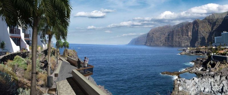
Eating out and choosing accommodation by location
Compare local restaurants and bars by address, food and hours, and book when necessary. A sea-view terrace may be at a different elevation from your hotel, so plan your return as well as the meal.
When comparing accommodation, check walking access, parking, pools and collection points for activities. Ask about luggage, pushchairs or step-free entry when relevant. Some businesses use a wider tourism-area name: locate the address on the map.
A coastal base can be combined with a separate outing to Tamaimo or Santiago del Teide’s municipal centre. For beach-focused stays compare La Arena; for boat trips identify the Los Gigantes marina before choosing transport.
Getting here, parking and visiting without a car
Navigate to the precise destination rather than Puerto Santiago alone. Plan airport transfers around your accommodation and arrival time, using the municipal transport information as a starting point. Locate where navigation ends before entering sloping streets.
Consult TITSA for coastal routes and the connection from your origin. Puerto Santiago (T) is a local transport reference; confirm direction and last departure before a longer walk. Check evening service or prepare a taxi alternative after dinner.
Distinguish hotel parking, public spaces and reserved areas. Keep entrances and working space by the quay clear. A later boat trip from Los Gigantes requires a separate parking or transfer plan. With children or reduced mobility, examine gradients and crossings on the actual route.
Carmen celebrations and everyday services
The Carmen festivities are part of the settlement’s fishing identity. Religious events, music and waterfront celebrations bring residents and visitors together; each edition has its own programme. Check the events calendar and municipal notices for dates and traffic changes.
The tourist office can help organise visits and transport. Consult service listings and the Puerto de Santiago pharmacy, confirming opening and any duty rota. Location does not imply continuous opening; retain a transport alternative when returning late from another settlement.
Planning a short visit, half a day or a full day
For a short visit choose quay, village beach and museum façade. If the exhibition is open, go inside and shorten another stop. With half a day, add a coastal section and a meal without leaving the settlement.
For a full day choose one extension: La Arena for a beach focus, Los Gigantes for cliffs and marina, or Tamaimo for the uplands. For a boat booking include transfers and boarding separately from sailing time.
With children or limited walking preferences, one compact area and a break can work better than linking the entire coast. If weather or sea conditions change, keep the museum, urban walk and restaurants as alternatives. These are planning suggestions rather than booked excursion schedules.
More questions about Puerto de Santiago
Are Puerto Santiago and Puerto de Santiago the same place?
Both names are used for this Tenerife settlement. Add the island and exact address to avoid confusion with Playa de Santiago on La Gomera.
Is the marina here?
The Los Gigantes marina is in the neighbouring resort. Puerto de Santiago has its fishing quay. Check your boat operator’s meeting point.
Can I enjoy a visit without swimming?
Yes: quay, beach viewed from land, museum, squares and a promenade section form a complete visit.
Where is the village beach?
Beside the fishing quay. La Arena and Los Guíos are different beaches along the coast.
Is walking here entirely flat?
No. Gradients and sometimes steps are involved. Check the exact connections, especially with a pushchair or reduced mobility.
Can I use Puerto de Santiago as a base for Tamaimo?
Yes, with a separately planned car, bus or taxi journey and return. Tamaimo is not an extension of the coastal stroll.
Listings and locations for your Puerto de Santiago walk
Distinguish quay, beach, museum, coastal promenade and services. Each listing retains its information and locates the specific place; follow current access signs.
Puerto de Santiago fishing quay
Fishing-harbour setting beside the village beach, approached from Calle del Puerto.
Entorno del muelle y Calle del Puerto, Puerto de Santiago, Santiago del Teide
Fisherman’s Museum
Museum and sculptural façade on Avenida Quinto Centenario, near the quay approach.
Avenida Quinto Centenario, junto a Calle del Puerto, Puerto de Santiago, Santiago del Teide
Puerto de Santiago beach · Playa Chica
Village beach beside the quay, separate from La Arena and Los Guíos; follow current restrictions.
Playa Chica, entorno de Calle La Vica, Puerto de Santiago, Santiago del Teide
La Hondura promenade
Coastal extension, with a reference point at the Calle La Hondura approach.
Acceso litoral desde Calle La Hondura, Puerto de Santiago, Santiago del Teide
Puerto de Santiago pharmacy
Pharmacy at Avenida V Centenario 46; check current opening and duty arrangements.
Avenida V Centenario, 46, Puerto de Santiago, Santiago del Teide
El Paseo pastry shop
A stop around Los Ángeles and La Tosca, away from the quay itself.
Calle Los Ángeles, esquina La Tosca, Puerto de Santiago, Santiago del Teide
Sources and useful links
Frequently asked questions
What is Puerto de Santiago?
The most populated coastal village in Santiago del Teide, a former fishing village between Los Gigantes and Playa de la Arena, with a Fisherman’s Museum and a tourist office.
Does Puerto de Santiago have its own beach?
Not a large beach of its own, but Playa de la Arena and Playa de Los Guíos are both nearby.
What is the Fisherman’s Museum?
A museum dedicated to local fishing tradition, with over a hundred models of historic ships.
How do you get to Puerto de Santiago?
By road from either airport or by bus; it is 14 km from Santiago del Teide village and a short trip from Los Gigantes.
Explore the area
No listings match these filters.
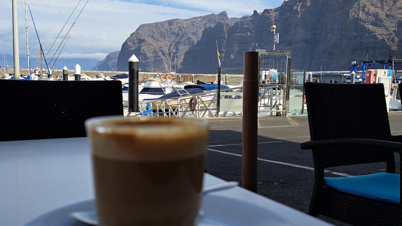
Puravida Bar Los Gigantes: guide, menu and reviews
Los Gigantes Premium promotion Fotos: Jan Trojan, Juan Ramon Vidal y Dominika Nosková / Google Maps. Fuentes enlazadas en la ficha.
Los Gigantes Cliffs
Los Gigantes Diego Delso, Wikimedia Commons, CC BY-SA 3.0.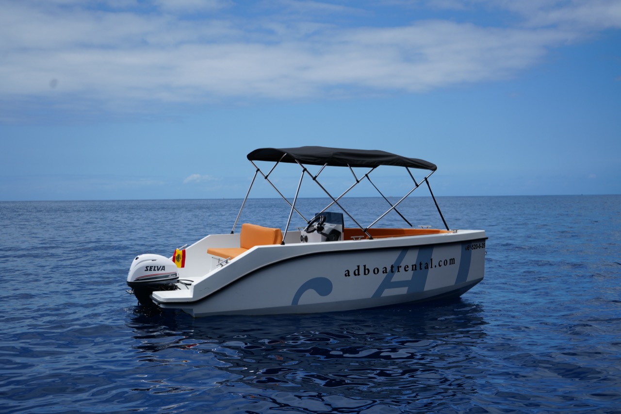
AD Boat Rental: fleet, prices and reviews 2026
Los Gigantes AD Boat Rental; imagen real autorizada para el portal.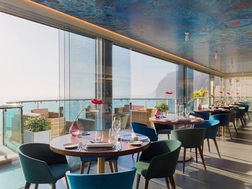
AQUA Restaurant
Los Gigantes Imagen aportada por el propietario del portal para esta ficha.
Arepera Girasol
Santiago del Teide · Tamaimo Imagen aportada por el propietario del portal para esta ficha.
Avistamiento de cetáceos en Los Gigantes
Los Gigantes
Bar Plaza: sandwiches and carne fiesta in Puerto de Santiago
Puerto de Santiago Imagen aportada por el propietario del portal para esta ficha.
Bar Restaurante Legends
Playa de la Arena Imagen aportada por el propietario del portal para esta ficha.Bar Tenerife in Tamaimo
Tamaimo
Barceló Santiago
Puerto de Santiago Imagen aportada por el propietario del portal para esta ficha.
Blue Dream Sailing: sailing from Los Gigantes
Los Gigantes Location not confirmed Imagen aportada por el propietario del portal para esta ficha. Buceo y snorkel en Los Gigantes
Los Gigantes Campamento de verano Santiago del Teide 2026
Puerto de Santiago Location not confirmed Foto: Diego Delso / Wikimedia Commons · CC BY-SA 3.0
Campaña Almendro en Flor
Santiago del Teide Foto: Paweł "pbm" Szubert / Wikimedia Commons · CC BY-SA 3.0
Canarias.com Landmar Los Gigantes: car rental
Los Gigantes Fotografía aportada y autorizada para la ficha de Canarias.com Landmar Los Gigantes.
Carnavales de Los Gigantes
Los Gigantes Location not confirmed Fotografía: Turismo de Tenerife. Uso autorizado por la organización.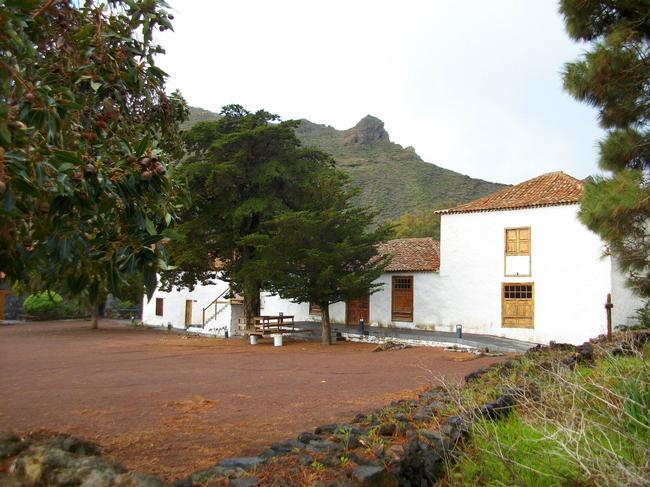
Casa del Patio manor house
Santiago del Teide
Cha Domitila Pottery and Ethnographic Centre
Arguayo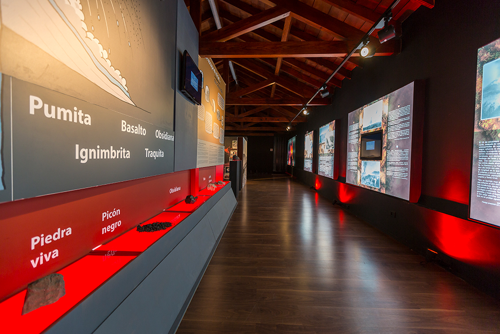
Chinyero Visitor Centre
Santiago del Teide · Chinyero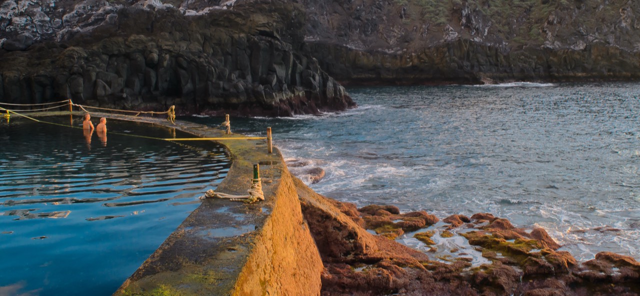
Charco de Isla Cangrejo
Los Gigantes Foto: Thomas Tolkien / Wikimedia Commons · CC BY 2.0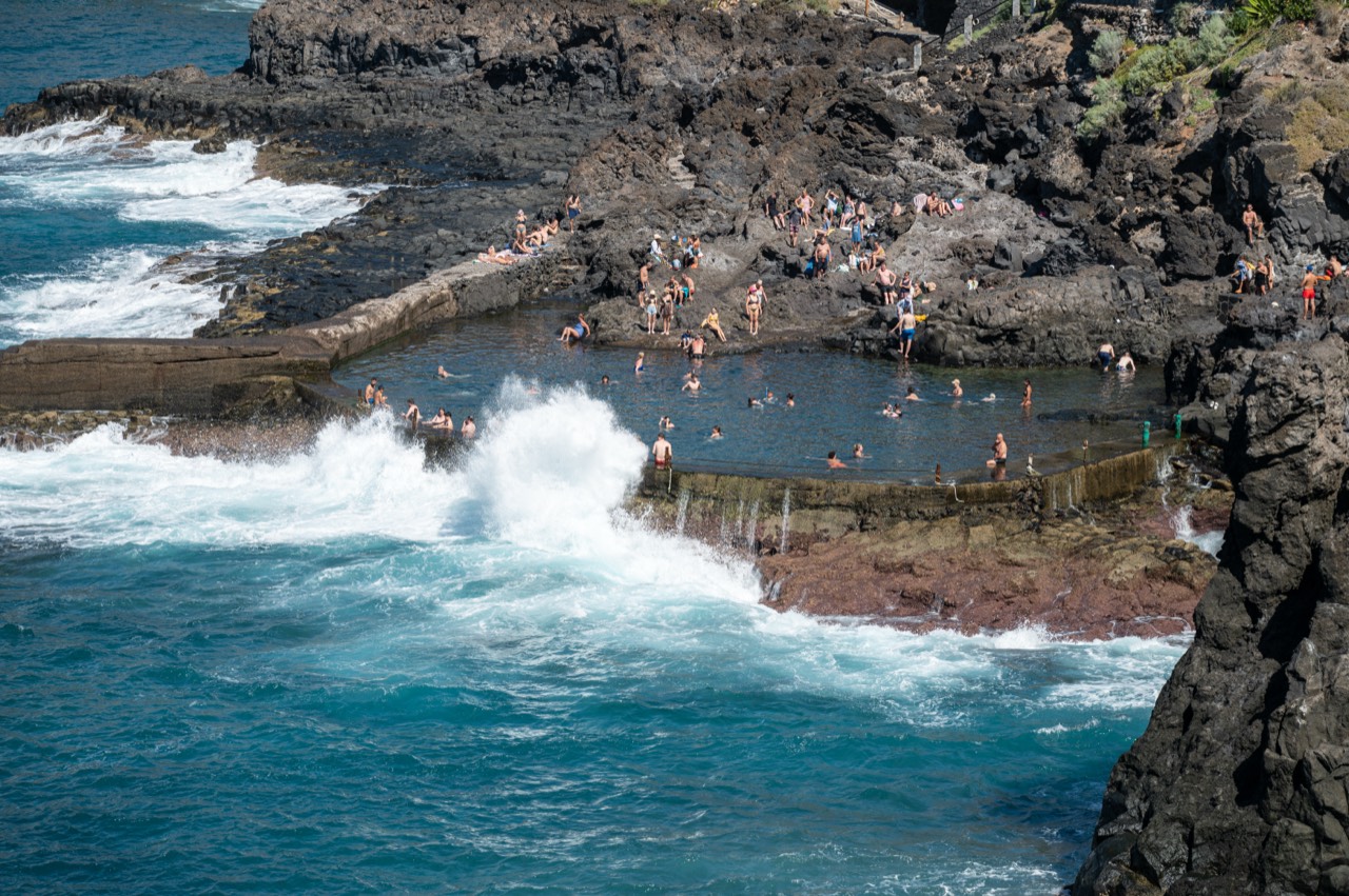
Charco de Las Bajas
Puerto de Santiago Foto: Tuxyso / Wikimedia Commons · CC BY-SA 4.0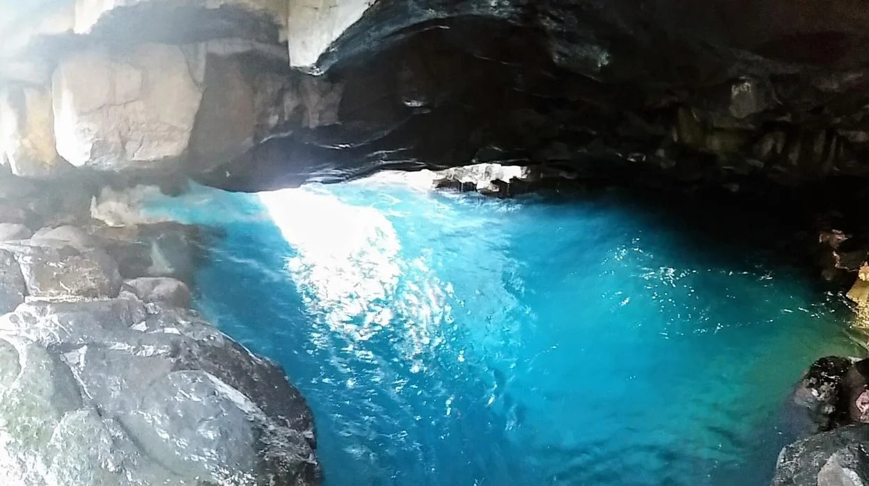
El Tancón and Cueva Azul
Puerto de Santiago Imagen aportada por el propietario del portal para esta ficha. Charcos de Punta Negra
Playa de la Arena Foto de contexto de Playa de la Arena / Punta Barbero: Diego Delso / Wikimedia Commons · CC BY-SA 3.0. No hay foto de licencia libre identificada de los charcos concretos.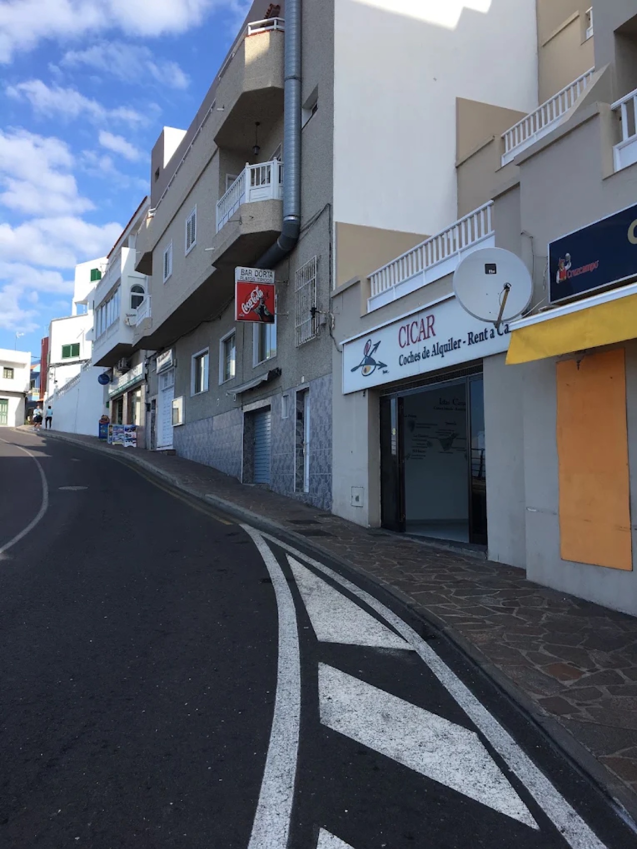
CICAR Los Gigantes
Los Gigantes Fotografía aportada y autorizada por CICAR Los Gigantes.
Codeso Restaurante
Los Gigantes Imagen aportada por el propietario del portal para esta ficha.
CruX Tamaimo
Santiago del Teide Foto: Wouter Hagens / Wikimedia Commons · CC BY-SA 4.0
Discover Teno at Punta de Teno (Buenavista del Norte)
Buenavista del Norte Imagen aportada por el propietario del portal para esta ficha. Discover Teno: boat trip from Los Gigantes
Los Gigantes Imagen aportada por el propietario del portal para esta ficha.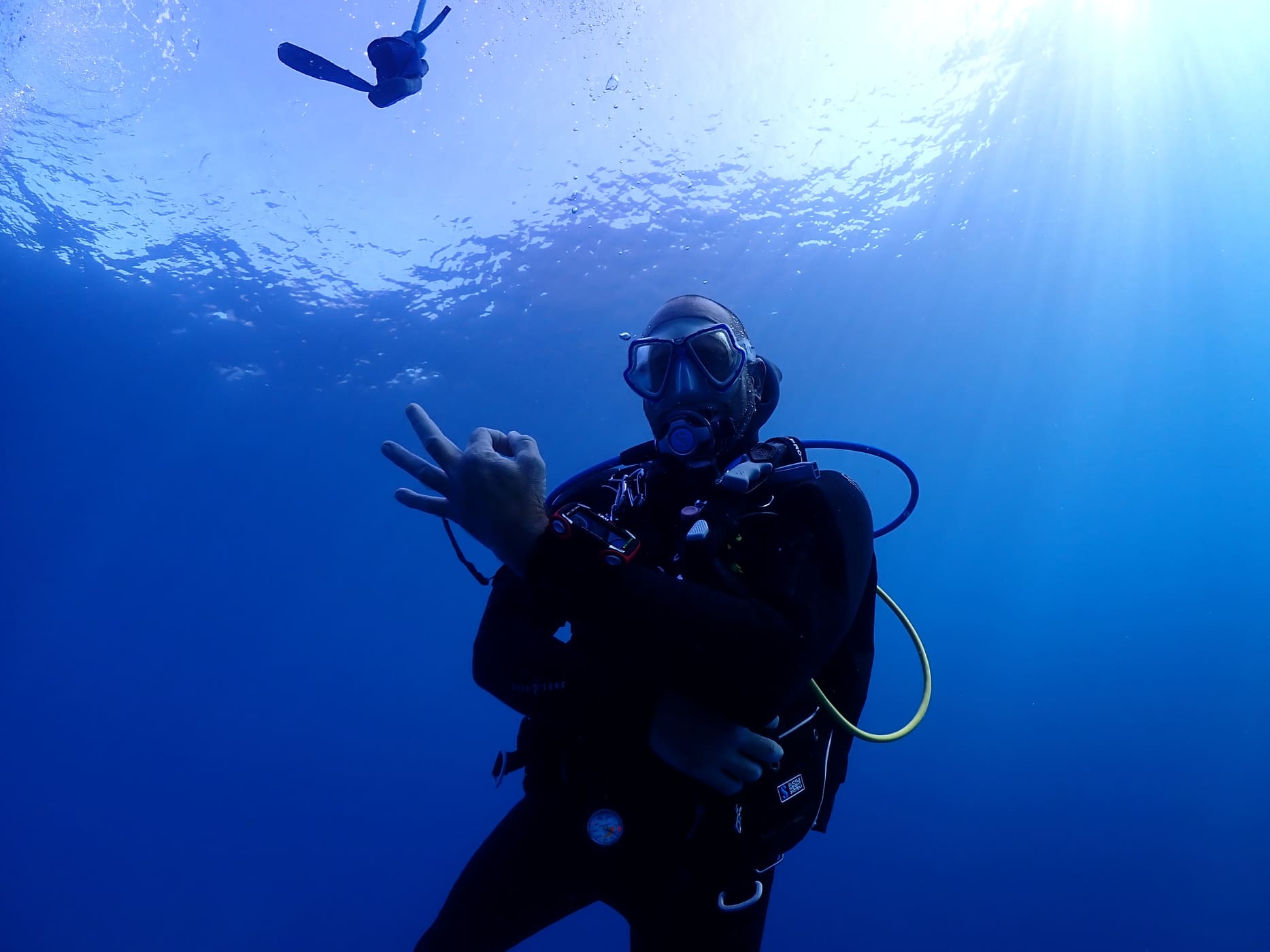
Diving Angel Tenerife: scuba diving in Los Gigantes
Los Gigantes Diving Angel Tenerife; fotografía oficial utilizada con atribución.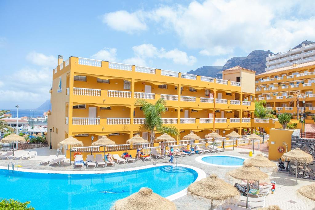
El Marqués Palace
Puerto de Santiago Imagen aportada por el propietario del portal para esta ficha. Ermita de Santiago Apóstol
Santiago del Teide Location not confirmed Imagen real contextual del municipio; fuente y licencia documentadas en IMAGE_CREDITS.md. Estación de Servicios El Retamar
Santiago del TeideTamaimo pharmacy
Tamaimo
Farmacia Los Gigantes
Los Gigantes Location not confirmed Fotografía aportada y autorizada por Farmacia Los Gigantes. Farmacia Playa La Arena
Playa de la Arena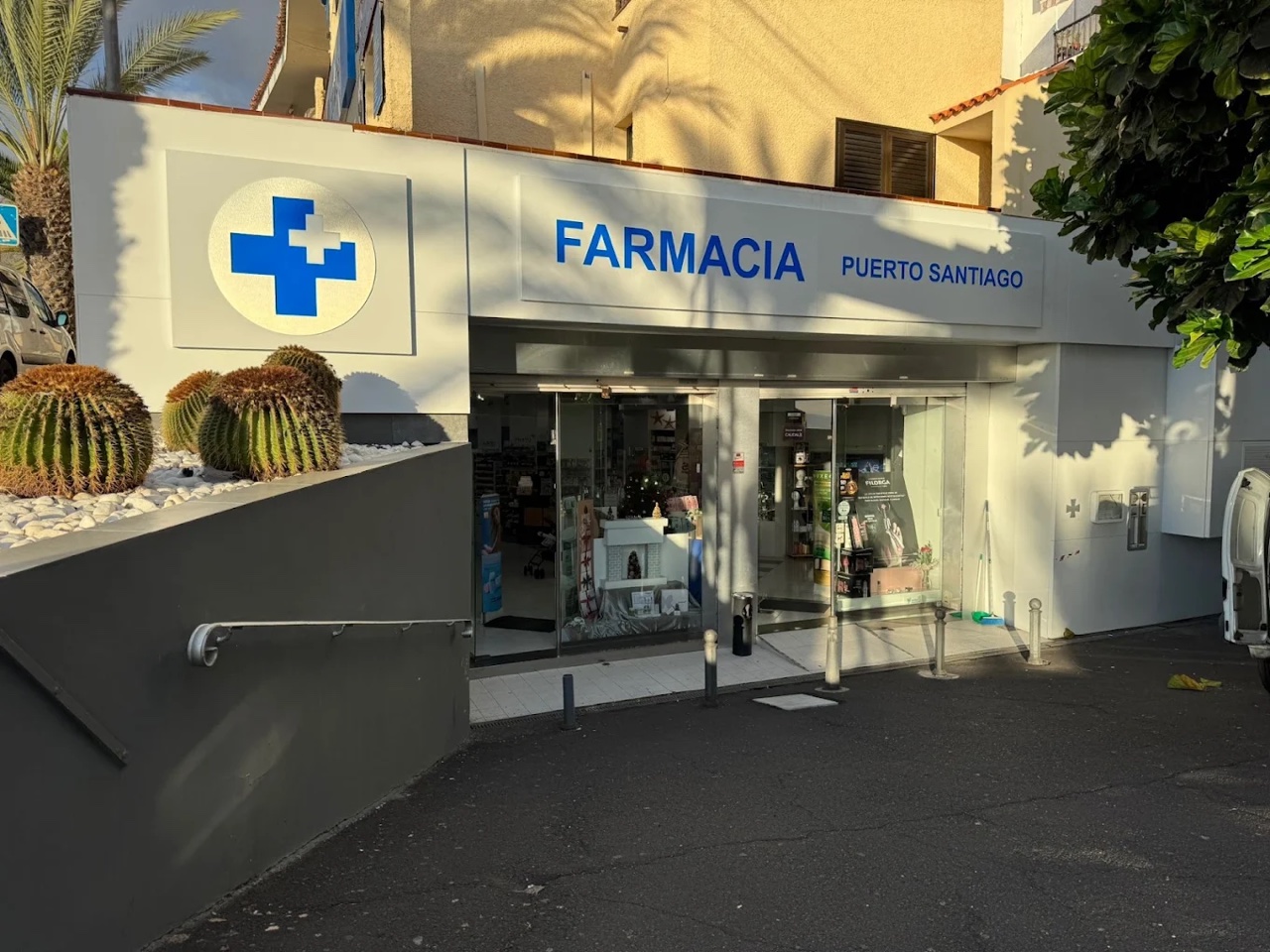
Farmacia Puerto de Santiago
Puerto de Santiago Fotografía aportada y autorizada por Farmacia Puerto de Santiago. Farmacia Santiago del Teide
Santiago del Teide Location not confirmed Fiesta de la Palabra
Santiago del Teide Location not confirmed Fiestas de Candelaria en Arguayo
Arguayo Location not confirmed Foto: Maesi64 / Wikimedia Commons · CC0 Fiestas de San Pedro Apóstol
Santiago del Teide Location not confirmed Fiestas de Santiago Apóstol
Santiago del Teide Location not confirmed
Fiestas del Carmen en Puerto de Santiago
Puerto de Santiago Location not confirmed
Flipper Uno
Los Gigantes Imagen aportada por el propietario del portal para esta ficha.
Francy's Bar: sports bar in Puerto de Santiago
Los Gigantes Imagen aportada por el propietario del portal para esta ficha. Church of San Fernando Rey
Santiago del TeideSanta Ana church in Tamaimo
Tamaimo Kayak bajo los acantilados
Los Gigantes
Klayman Diamond Aparthotel
Los Gigantes Imagen aportada por el propietario del portal para esta ficha. La Casona del Patio
Santiago del Teide Location not confirmed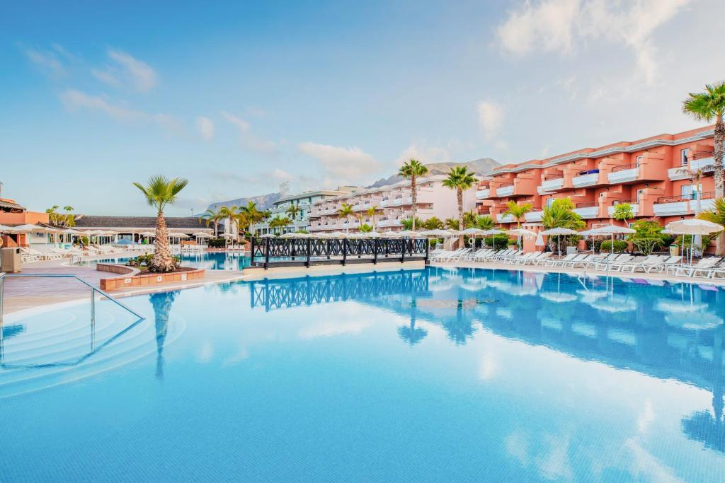
Landmar Costa Los Gigantes
Puerto de Santiago Imagen aportada por el propietario del portal para esta ficha.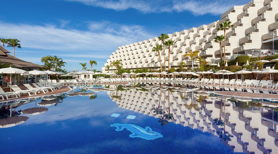
Landmar Playa La Arena
Playa de la Arena Imagen aportada por el propietario del portal para esta ficha.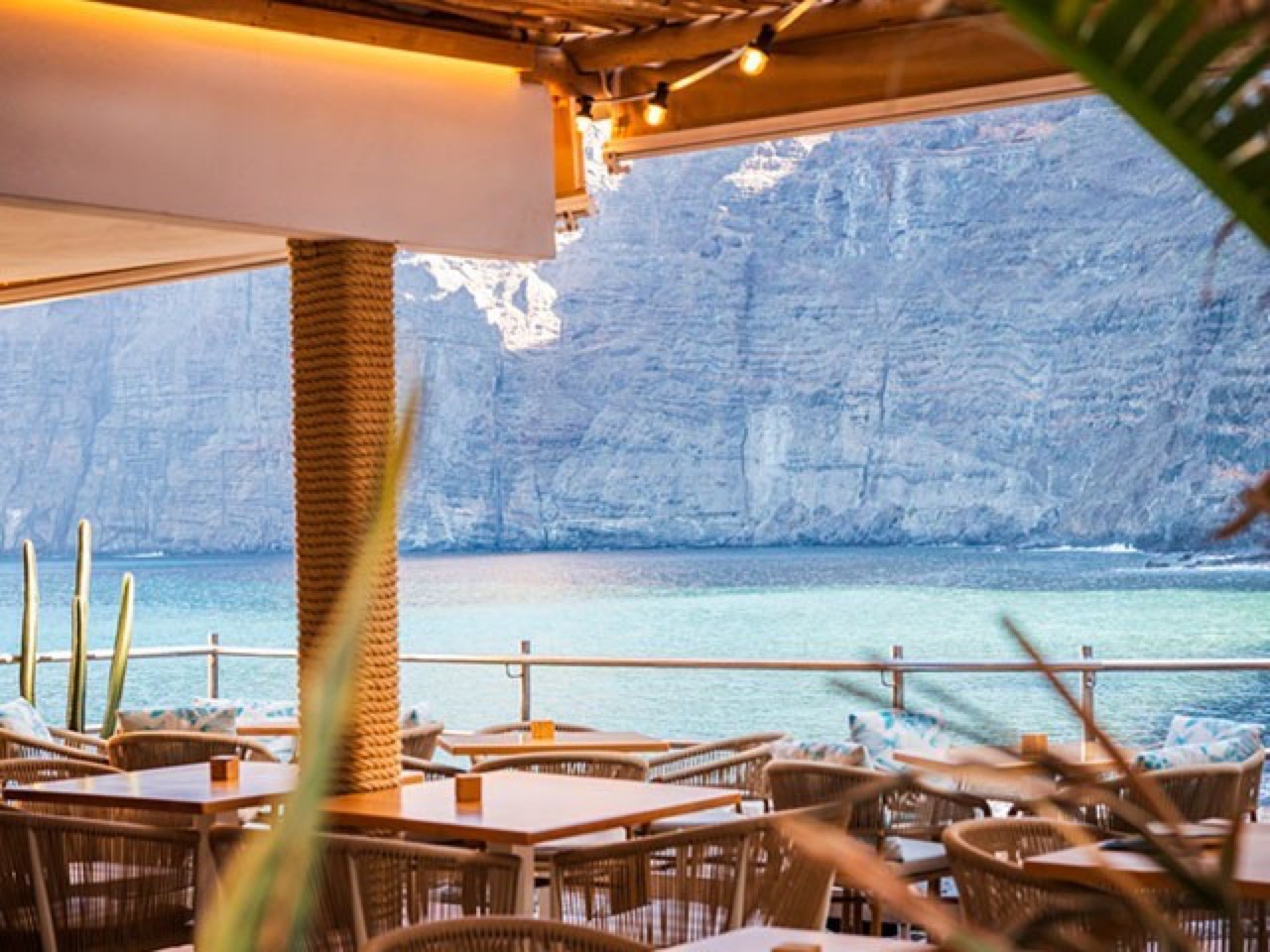
Los Gigantes Beach Club: guide to the seafront restaurant
Los Gigantes Los Gigantes Beach Club; imagen real autorizada para el portal. Los Gigantes Diving Centre
Los Gigantes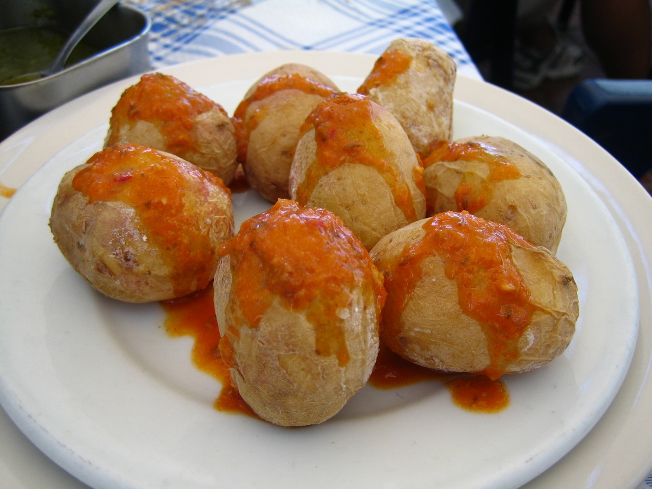
Macaronesia Coffee Shop Bakery
Puerto de Santiago
Marítima Acantilados: boat trips from Los Gigantes
Los Gigantes
Masca
Masca
Masca Express: boat trip and transfer from Masca
Masca Imagen aportada por el propietario del portal para esta ficha.
Mirador de Archipenque
Los Gigantes Foto: -wuppertaler / Wikimedia Commons · CC BY 4.0
Mirador de Cherfe viewpoint: complete 2026 guide
Masca Foto: Falk2 / Wikimedia Commons · CC BY-SA 4.0
Mirador de Los Guíos
Los Gigantes Foto cedida por el propietario del portal, tomada en el propio mirador.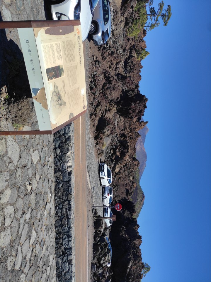
Los Poleos viewpoint: complete 2026 guide
Chío Foto: Fry72 / Wikimedia Commons · CC BY-SA 4.0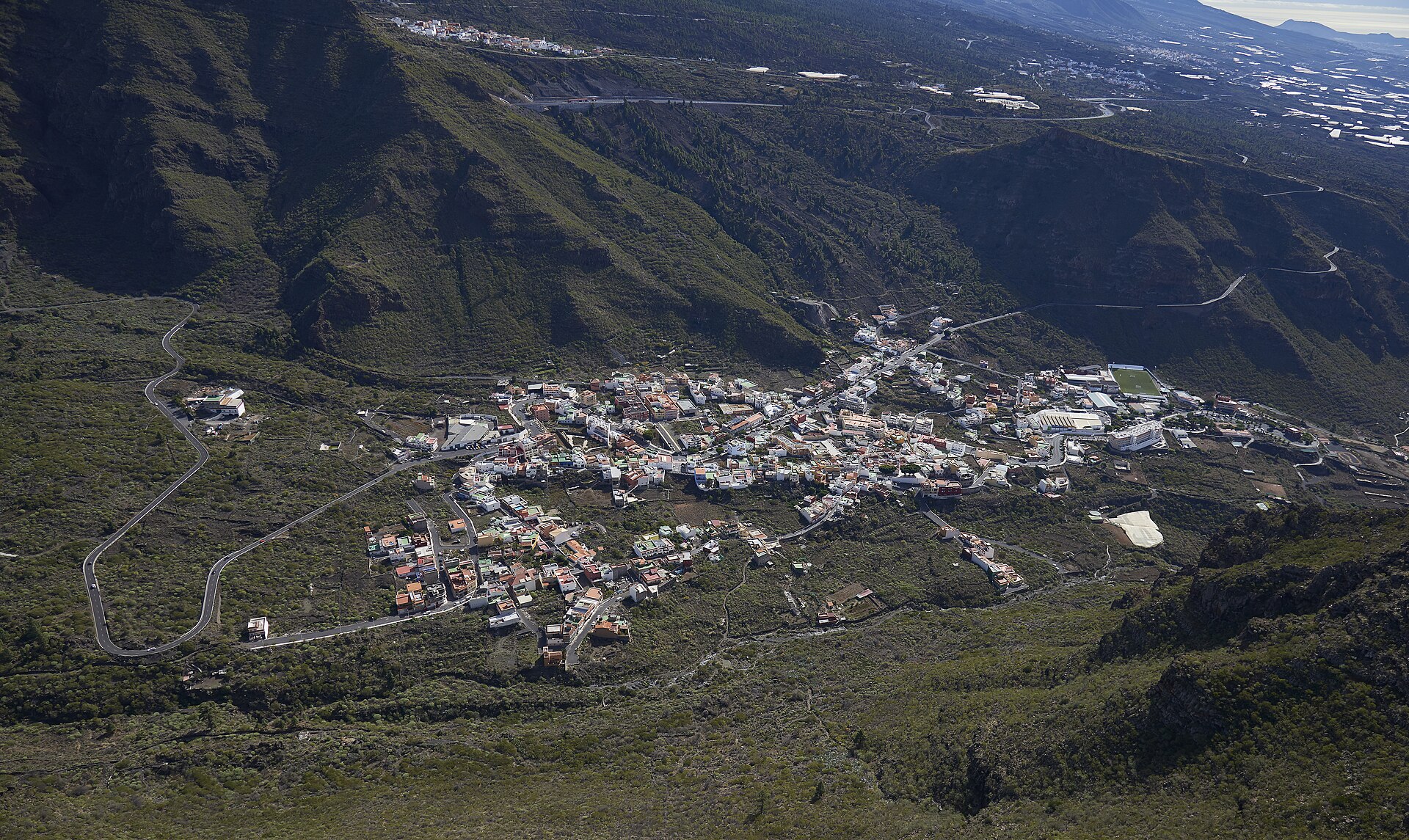
Tamaimo viewpoint
Tamaimo
Mirador por Teide
Whole municipality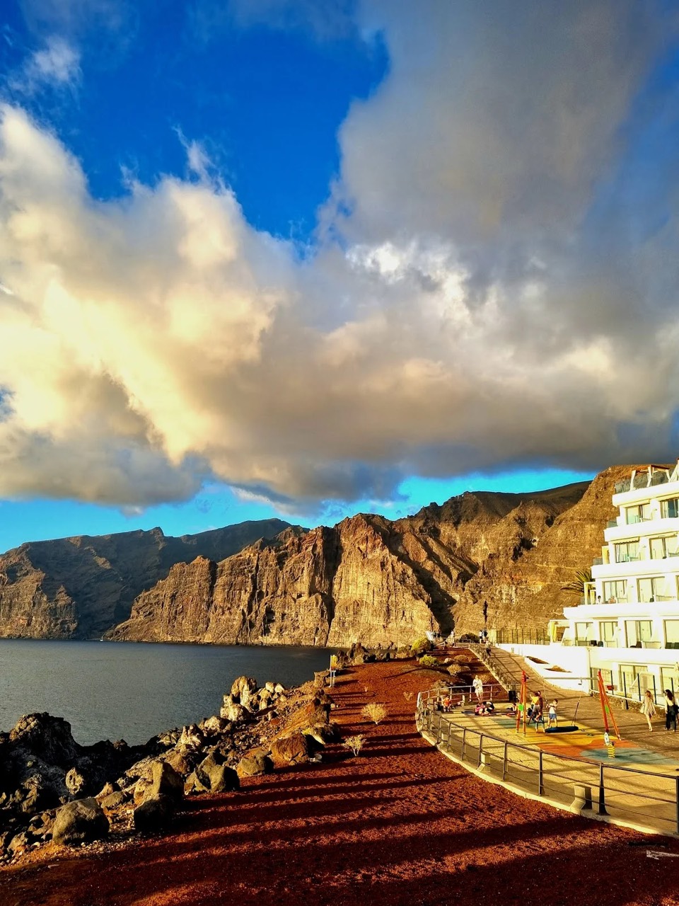
Punta del Roque viewpoint
Puerto de Santiago Foto cedida por el propietario del portal, tomada en el propio mirador.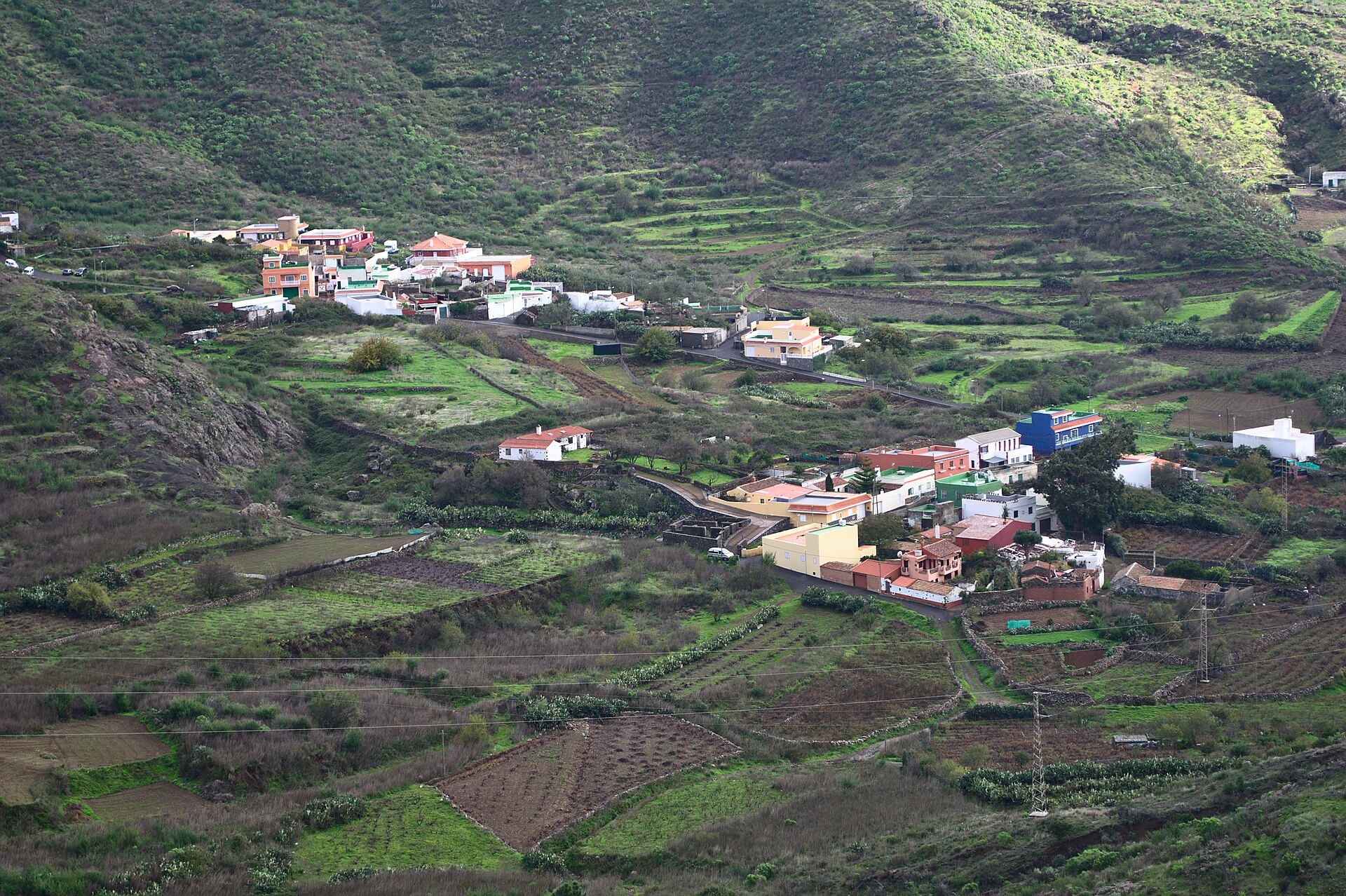
Mirador Valle de Arriba
Santiago del Teide Location not confirmed Imagen real contextual del municipio; fuente y licencia documentadas en IMAGE_CREDITS.md.Puerto de Santiago fishing quay
Puerto de Santiago Museo del Pescador
Puerto de Santiago Imagen real contextual del municipio; fuente y licencia documentadas en IMAGE_CREDITS.md.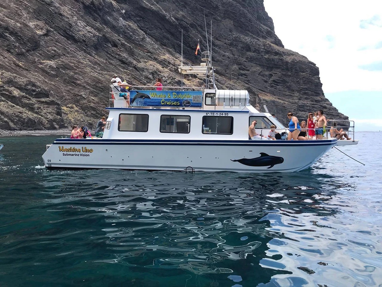
Nashira Uno: whale and dolphin watching in Los Gigantes
Los Gigantes Imagen aportada por el propietario del portal para esta ficha.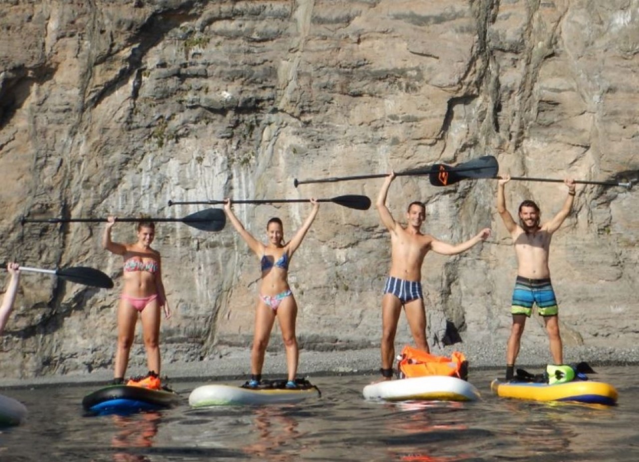
Nautilo's SUP: kayak and paddleboard in Los Gigantes
Los Gigantes Imagen aportada por el propietario del portal para esta ficha. Navidad en Santiago del Teide
Santiago del Teide Location not confirmed Noche de San Juan en Puerto de Santiago
Puerto de Santiago Location not confirmed Oficina de Turismo de Puerto de Santiago
Puerto de Santiago Oficina Excursiones: travel agency in Puerto de Santiago
Los Gigantes Fotografía aportada y autorizada por CICAR Los Gigantes.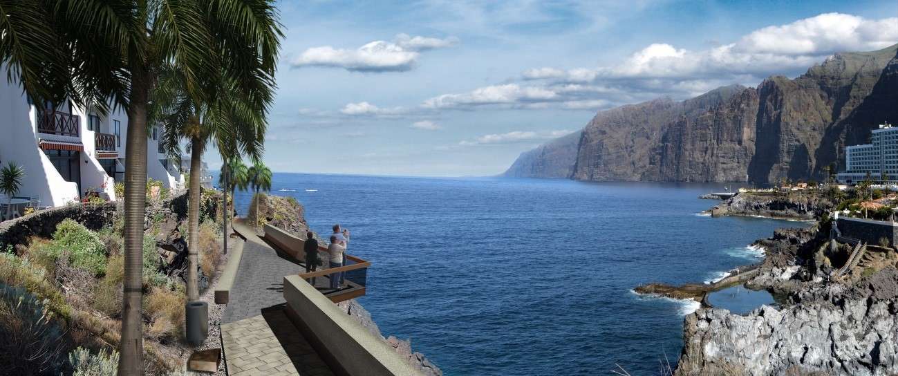
Paseo de La Hondura
Puerto de Santiago Imagen aportada por el propietario del portal para esta ficha.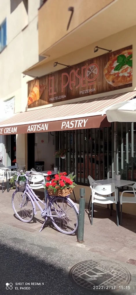
Pastelería El Paseo
Puerto de Santiago Imagen aportada por el propietario del portal para esta ficha.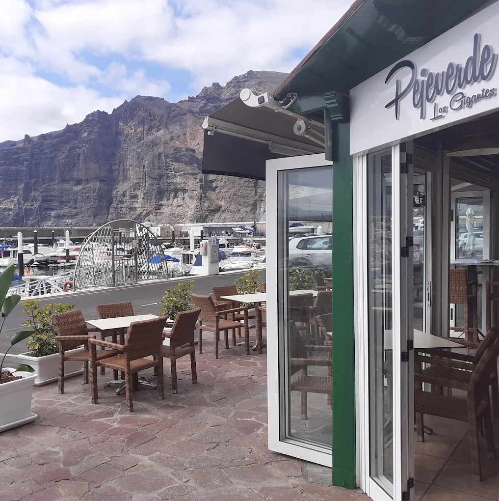
Pejeverde Los Gigantes
Los Gigantes Imagen aportada por el propietario del portal para esta ficha.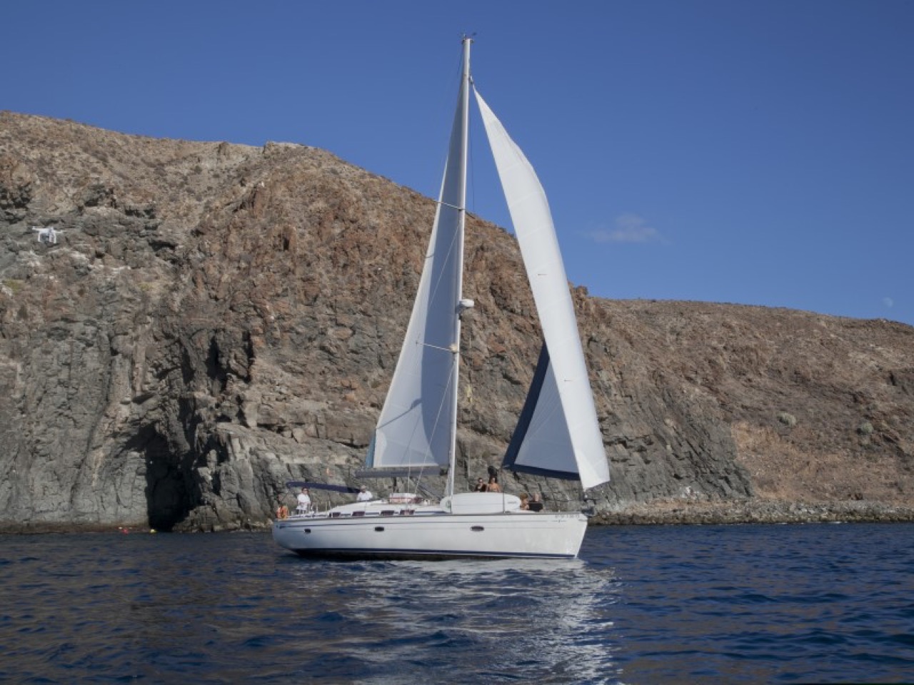
Picarus Sailing Club: whale watching in Los Gigantes
Los Gigantes Imagen aportada por el propietario del portal para esta ficha.
Oasis Los Gigantes swimming pools
Los Gigantes Imagen oficial de Oasis Los Gigantes, utilizada con autorización. Playa de La Arena
Playa de la Arena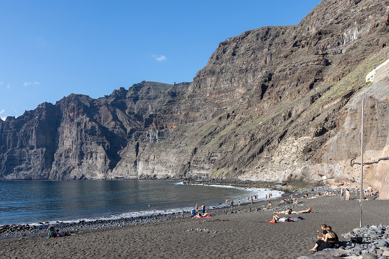
Playa de Los Guíos
Los Gigantes Photo: Mike Peel (www.mikepeel.net). CC BY-SA 4.0 — https://creativecommons.org/licenses/by-sa/4.0/ · Source: https://commons.wikimedia.org/wiki/File:At_Los_Gigantes_2022_012.jpg · Resized.
Playa de Masca
Masca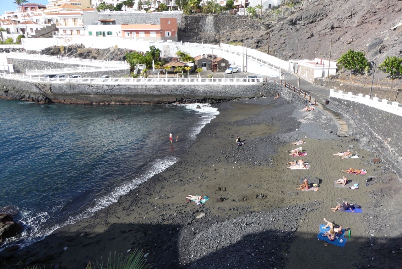
Playa de Puerto de Santiago
Puerto de Santiago Foto: G.Lanting / Wikimedia Commons · CC BY 4.0Santa Ana square in Tamaimo
Tamaimo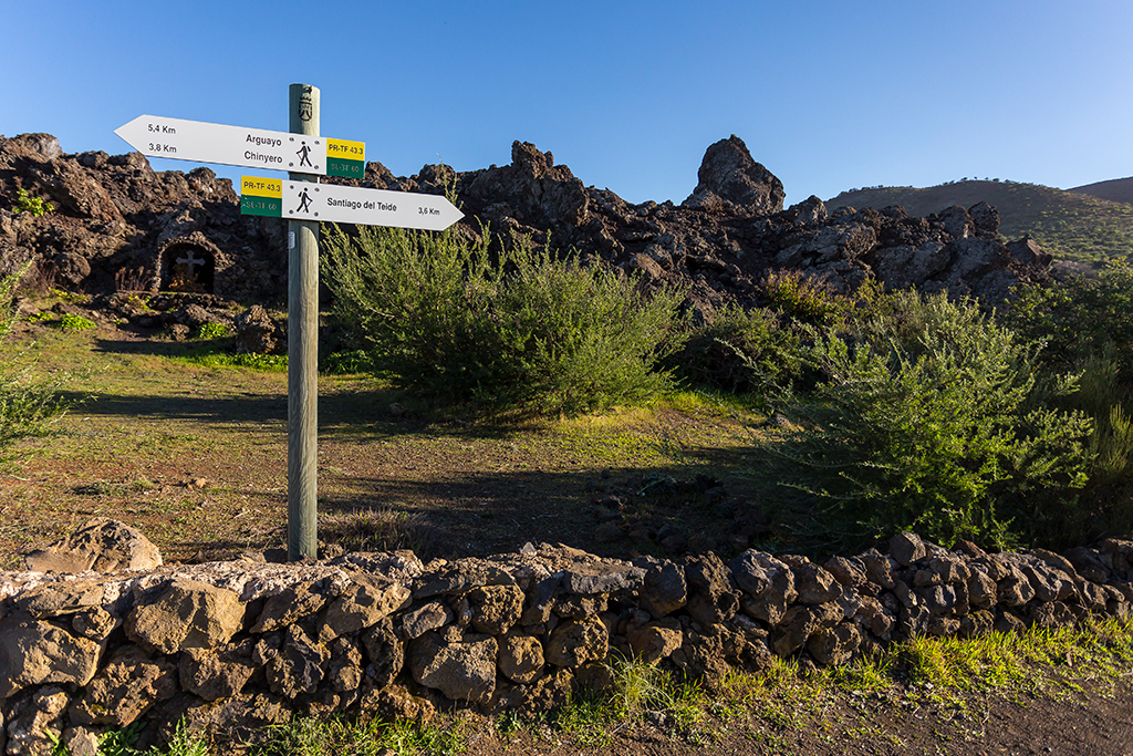
PR-TF 43.2: Los Partidos de Franquis - Chinyero
Los Partidos de Franquis Location not confirmed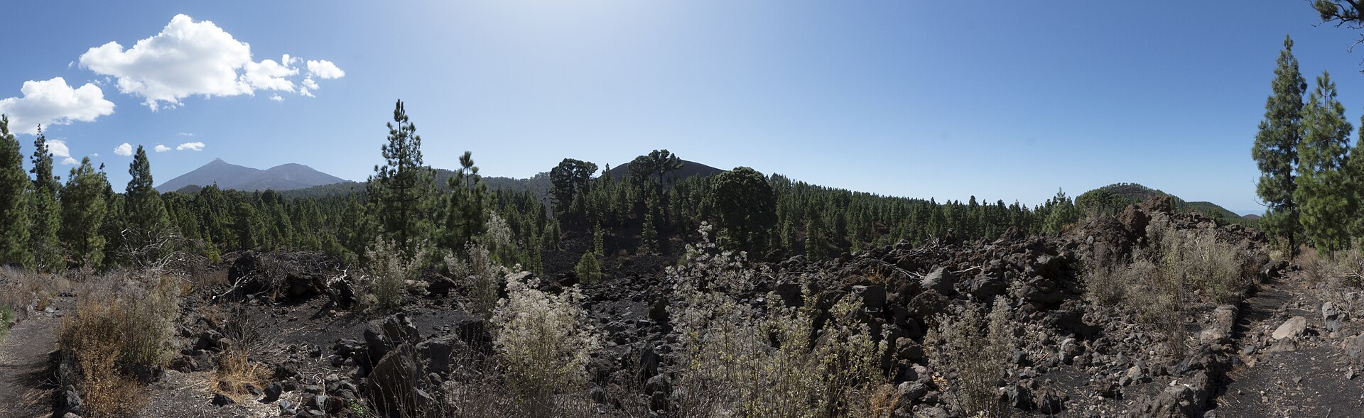
PR-TF 43.3: Ruta circular del Chinyero
Santiago del Teide · Chinyero Location not confirmed Foto: Marco Felhofer / Wikimedia Commons · CC BY-SA 3.0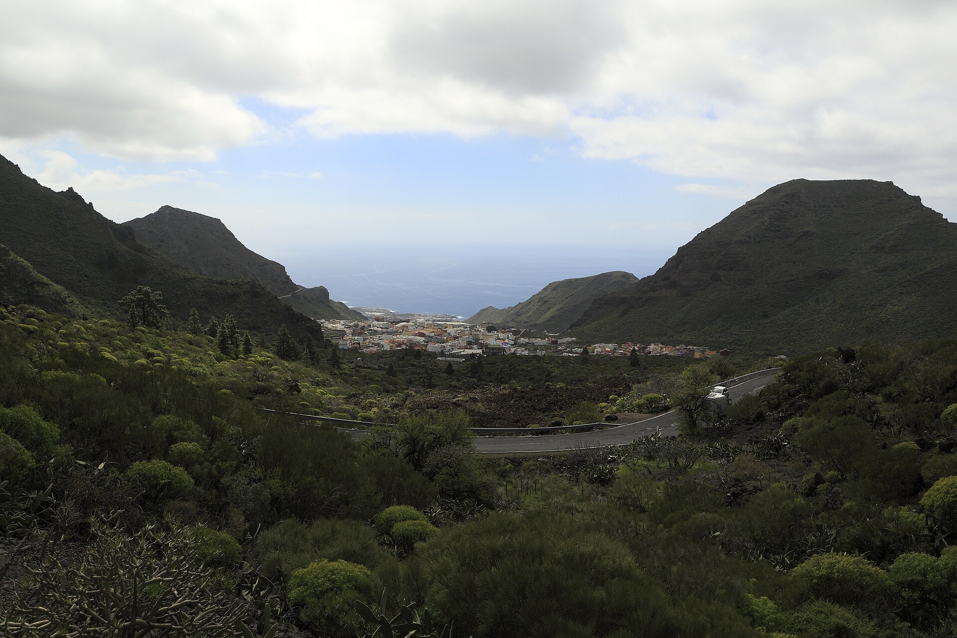
PR-TF 65: Santiago del Teide – Puerto de Santiago
Santiago del Teide Foto: Falk2 / Wikimedia Commons · CC BY-SA 4.0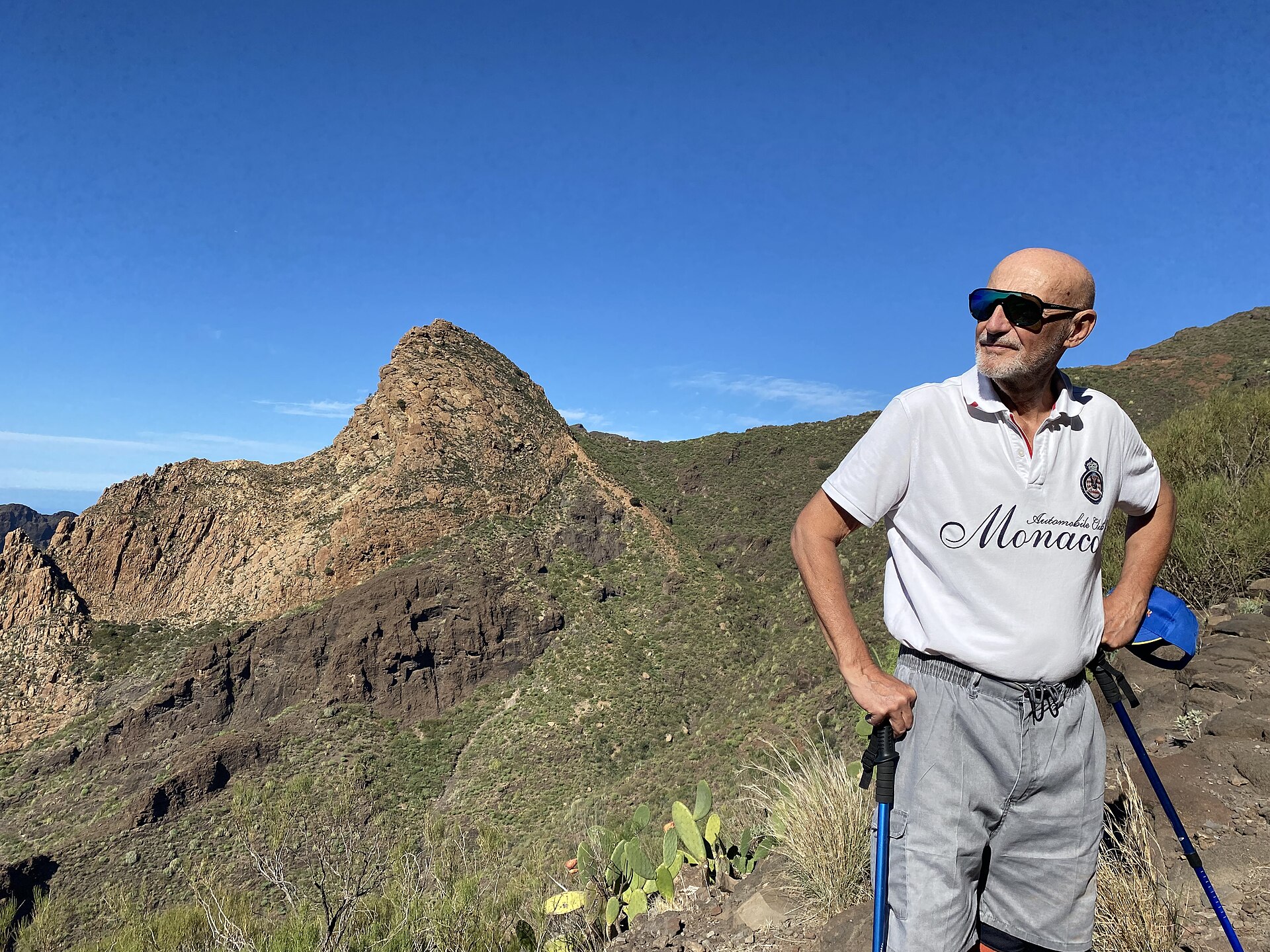
PR-TF 65.1: El Molledo – Risco Blanco
El Molledo Location not confirmed Foto: 9002Jack / Wikimedia Commons · CC0 PR-TF 65.2: Circular de Guama y Tamaimo
Tamaimo Location not confirmed Foto: Wouter Hagens / Wikimedia Commons · CC BY-SA 4.0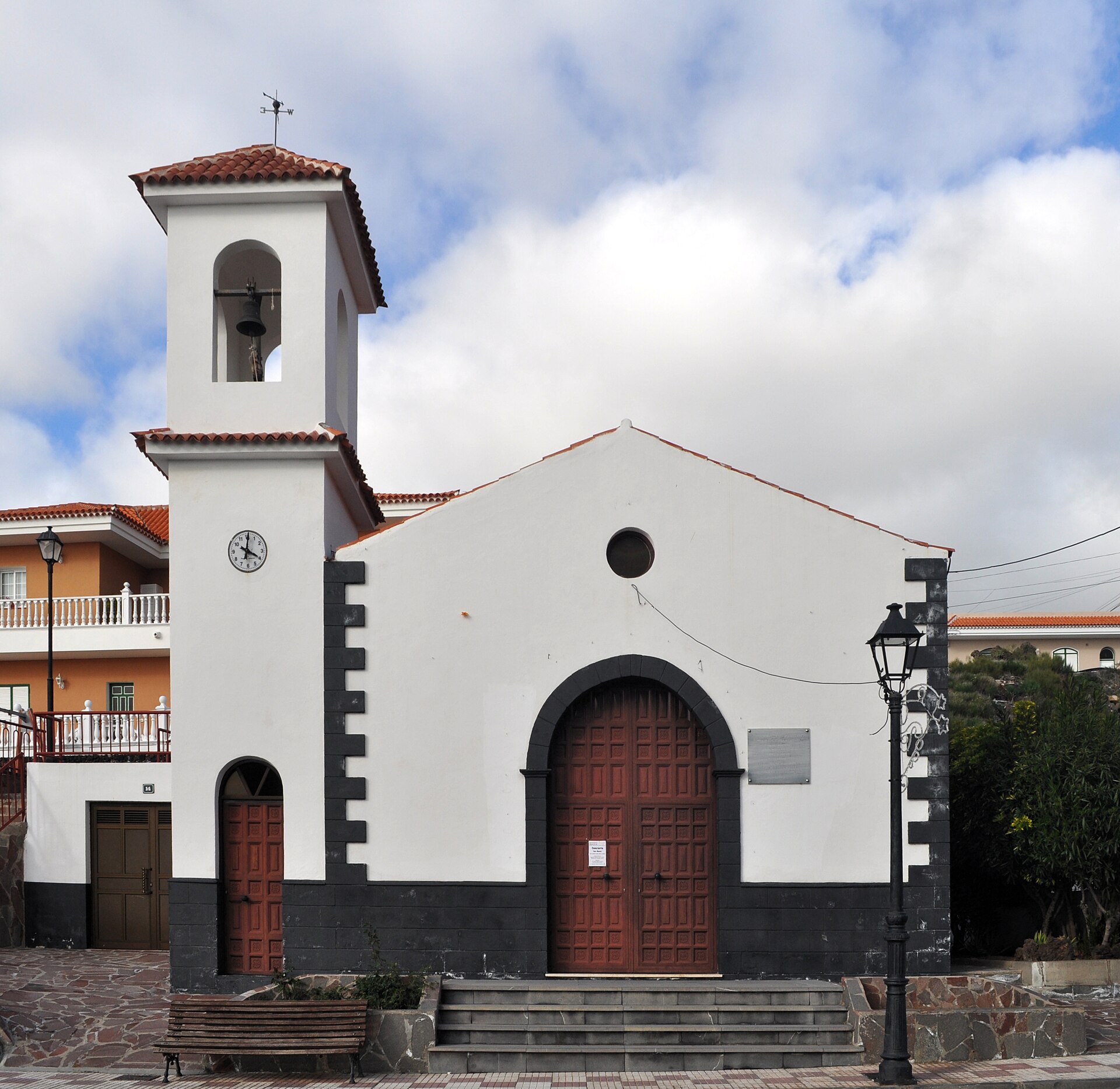
PR-TF 65.3: El Molledo – Degollada del Roque
El Molledo Location not confirmed Foto: Paweł "pbm" Szubert / Wikimedia Commons · CC BY-SA 3.0 PR-TF 65.4: Valle de Arriba – Arguayo
Valle de Arriba Location not confirmed Foto: Paweł "pbm" Szubert / Wikimedia Commons · CC BY-SA 3.0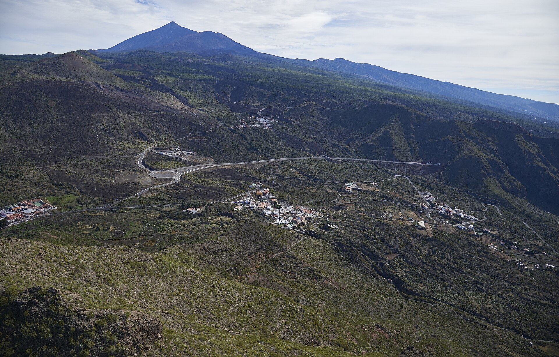
PR-TF 65.5: El Molledo – Las Manchas
El Molledo Location not confirmed Foto: Wouter Hagens / Wikimedia Commons · CC BY-SA 4.0 Puerto de Santiago
Puerto de Santiago Los Gigantes Marina: parking, boats and excursions
Los Gigantes Reserva Natural Especial del Chinyero
Chío · Chinyero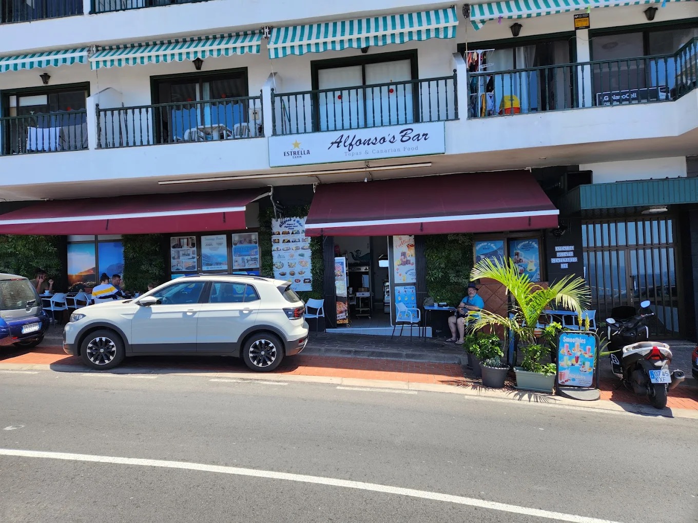
Restaurante Alfonso
Puerto de Santiago Imagen aportada por el propietario del portal para esta ficha.
Restaurante El Patio: Canarian cuisine in Santiago del Teide
Puerto de Santiago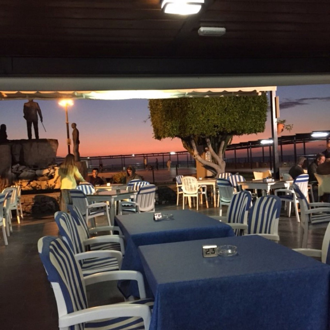
Restaurante Plaza Puerto de Santiago
Puerto de Santiago Foto cedida por el negocio, autorización declarada por el propietario del portal.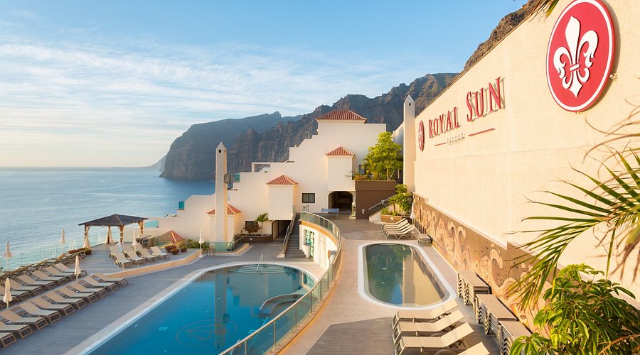
Royal Sun Resort
Los Gigantes Imagen aportada por el propietario del portal para esta ficha. Ruta cultural por Santiago del Teide
Santiago del Teide Ruta de senderismo por el Macizo de Teno
Santiago del Teide Location not confirmed Foto: 9002Jack / Wikimedia Commons · CC0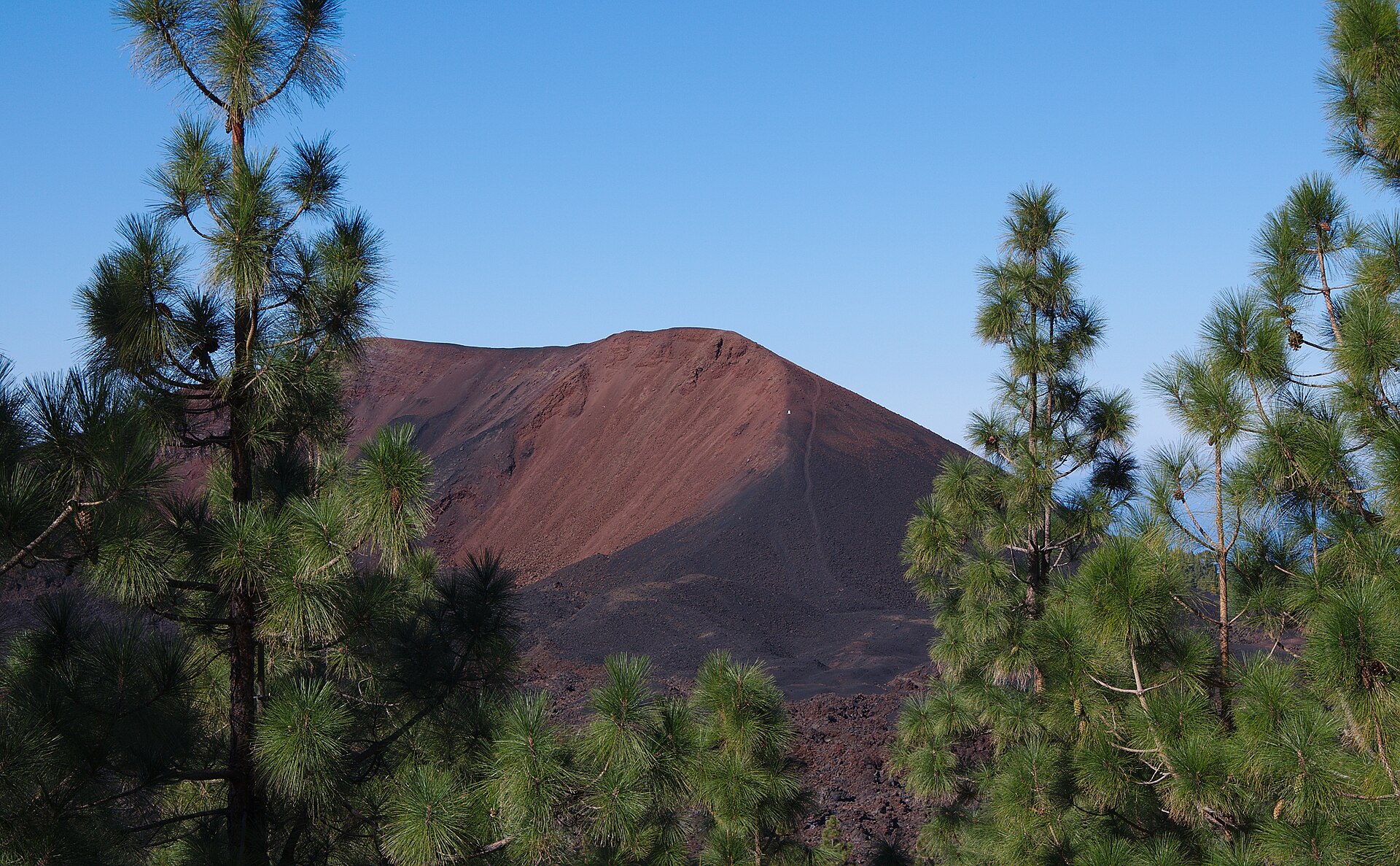
Ecotour Route: Between Almond Trees and Volcanoes
Santiago del Teide Location not confirmed Foto: El Grafo / Wikimedia Commons · CC BY-SA 4.0 Ruta por el Macizo de Teno
Santiago del Teide Foto real del macizo de Teno · Wikimedia Commons · CC BY-SA 3.0 Ruta por Masca y el macizo de Teno
Masca Santiago del Teide casco
Santiago del Teide Semana Santa en Santiago del Teide
Santiago del Teide Location not confirmed Sendero PR-TF 65.4 Valle de Arriba – Arguayo
Santiago del Teide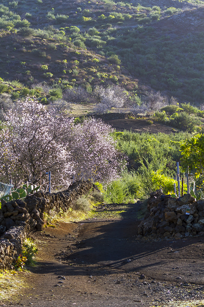
SL-TF 60: Santiago del Teide - Arguayo (Almond Blossom Route)
Santiago del Teide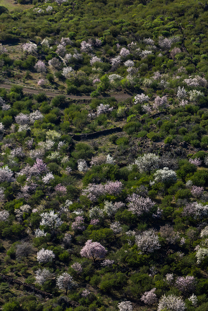
SL-TF 60.1: Valle de Arriba
Valle de Arriba Location not confirmed
SL-TF 60.2: Las Manchas
Las Manchas Location not confirmed SuperDino Los Gigantes: HiperDino supermarket
Los Gigantes
Supermercado Las Flores
Los Gigantes
Tapas y Más Tapas
Playa de la Arena Foto cedida por el negocio, autorización declarada por el propietario del portal.
Taxi Santiago del Teide and Los Gigantes
Los Gigantes Fotografía aportada y autorizada por Taxi Los Gigantes. Tenerife Vive+
Playa de la Arena Foto: Wouter Hagens / Wikimedia Commons · CC BY-SA 4.0
Teno Activo: kayak and snorkelling in Los Gigantes
Los Gigantes Imagen aportada por el propietario del portal para esta ficha.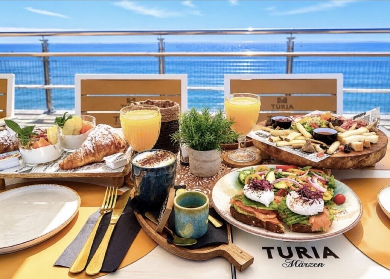
The View Puerto de Santiago
Puerto de Santiago Foto cedida por el negocio, autorización declarada por el propietario del portal.
Third Element Charters: whale watching and sailing in Los Gigantes
Los Gigantes
Tipsy Los Gigantes
Los Gigantes Imagen aportada por el propietario del portal para esta ficha. Trekking Masca: hiking information for Masca
Masca Santiago del Teide Cycle Tour 2026
Tamaimo Location not confirmed XXI Carrera Vertical Subida del Panadero
Tamaimo Location not confirmed Foto: Falk2 / Wikimedia Commons · CC BY-SA 4.0