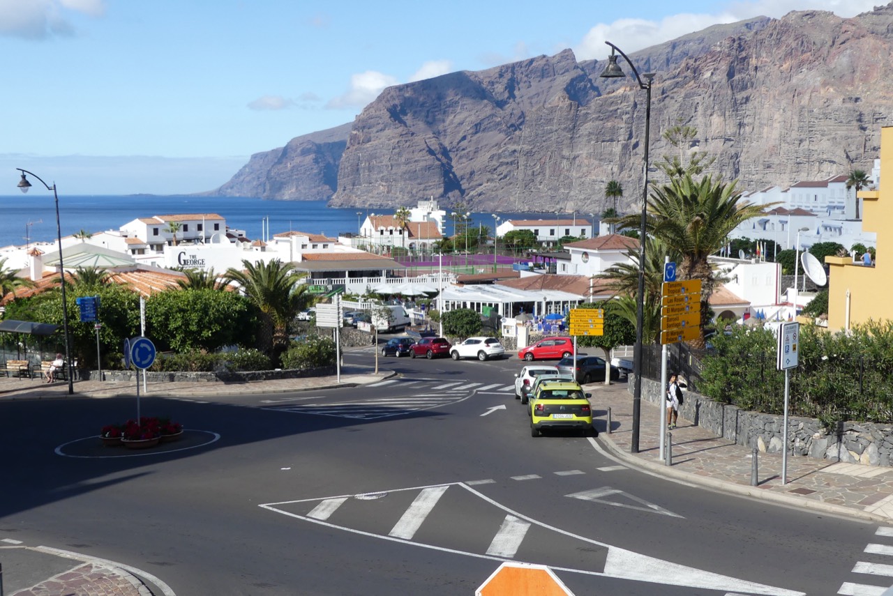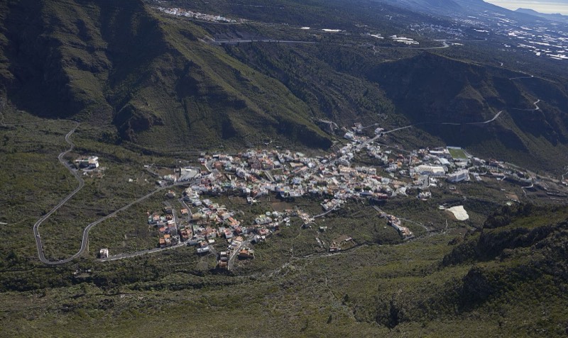

Tamaimo is a village in Santiago del Teide, western Tenerife, in the uplands between the municipal centre and the coast around Los Gigantes and Puerto de Santiago. Santa Ana square and church, its farming heritage and the slopes of Guama reveal a different part of the municipality from the seaside resorts.
Explore the centre on foot, stop for a meal or prepare a walk through the surrounding countryside. This page brings the village together; individual trail, viewpoint and event listings help you plan a particular visit.
Where Tamaimo is and how to find your way
Tamaimo belongs to Santiago del Teide municipality in Santa Cruz de Tenerife province. It is an inland settlement, distinct from both the municipal administrative centre and the Los Gigantes resort. Enter Tamaimo, Santiago del Teide, Tenerife in navigation, then the precise address you need.
Santa Ana square is a useful starting point. Nearby are homes, shops, sloping streets and connections towards countryside paths. Stop to appreciate the village and its setting rather than simply driving through. For a hike, locate the actual trailhead: reaching the village and reaching the start of your route may require different approaches.
Tamaimo’s history: farming, water and connections with the coast
Tamaimo is one of the municipality’s surviving place names of Guanche origin. The council’s chronology records the blessing of Santa Ana chapel in 1715, traditional weaving and the later development of farming. The present village also includes buildings and facilities from different periods.
Water from the San Fernando gallery in Valle de Arriba, obtained in 1957, supported export farming, particularly tomatoes in Tamaimo. The Tamaimo Agricultural Cooperative was established in 1966. These milestones help explain the cultivated land and the village’s relationship with the surrounding uplands.
Tourism subsequently changed employment and travel across the municipality. Compare Tamaimo with the fishing heritage of Puerto de Santiago or the resort and marina at Los Gigantes to understand how neighbouring settlements developed differently.
Santa Ana church and square
The church and adjoining square are the cultural reference point of the centre. The council dates the blessing of the original chapel to 1715. Look at the exterior from public space, explore the square and allow time to enjoy the village. Entry depends on opening and religious services; a service time is not a tourist visiting schedule.
Santa Ana also features in the local memory of the 1909 Chinyero eruption. The tradition recalls carrying her image towards Las Manchas and El Calvario, where the events are commemorated. This links religious heritage with the volcanic landscape. A visit to the municipal centre can provide further context; the commemorative procession is separate from this village stroll.
A walk around Tamaimo village
Use the square as your starting and return point. This is a way to discover the centre without automatically committing to a mountain hike. Adapt it to traffic, gradients and your mobility; the sequence is not a measured or certified accessible route.
Santa Ana square
Meet in the square, get your bearings and notice the surrounding relief. Agree where you will finish. Events and temporary installations may change the available access.
Santa Ana church
Visit the exterior and discover its place in the village’s history. If open, and without disturbing worship, you may look inside. The square and exterior already provide a worthwhile stop.
Nearby streets and local shops
Explore the surrounding streets at an easy pace. Notice homes, local businesses and the landscape between them. Respect private entrances and use pavements and designated crossings.
A view towards Guama and the valley
Look at the surrounding slopes from suitable public places. Reaching a path entrance is a moment to decide whether to return or begin a properly prepared hike; it does not make an ascent part of the village stroll.
Back to the square for a break
Return for a drink, a meal or your vehicle. Before continuing to the coast or municipal centre, check the next journey and the return bus if you depend on public transport.
Guama, the valley and viewpoints
Guama’s slopes, the valley and cultivated areas show the transition between the interior and the coast. Light changes the appearance of the relief through the day. Take photographs from public places where stopping does not obstruct a road, private entrance or working land.
The Tamaimo viewpoint listing provides more landscape context. A photograph from high ground does not necessarily show the view from the square. If you want a mountain panorama, prepare that outing separately with suitable footwear, water, a weather check and enough time to return.
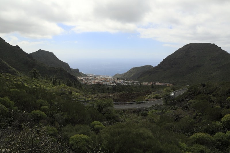

Trails from Tamaimo: Guama and valley paths
Tamaimo is a reference point on the network connecting coast and uplands. Guama retains traces of farming on terraces and slopes. Begin with the PR-TF 65.2, Guama and Tamaimo listing and compare other Santiago del Teide trails by elevation, starting point and finish.
Sources describe itineraries of different scope around Guama and Cruz de los Misioneros. Identify your exact route: an ascent to a cross, a full circuit and a connection with another path are not interchangeable. Count the complete outing, including approach and return.
Traditional paths towards the coast and municipal centre require preparation. Arrange transport first for a linear walk. Check signs, Cabildo notices, forecast and daylight. Proximity to the village does not make mountain terrain suitable for everyone; choose a different plan if wind, heat or rain make walking unsuitable.
Celebrations, traditions and the Subida a Tamaimo
Santa Ana celebrations are part of village life. The square hosts community and cultural events, while the memory of Santa Ana and Chinyero has its own commemoration. Dates and arrangements change: consult the events calendar and the current municipal programme.
The Subida a Tamaimo is a motor race, not a hike up Guama. Searches for the village often include racing news. On competition days, check road closures and the organiser’s arrangements; normal driving routes and bus stops may be affected.
Where to eat and take a break
A village stop fits before a coastal visit or after exploring the centre. Choose according to your next destination and meal time: breakfast before a hike and lunch afterwards need different opening hours. Browse restaurants and bars, selecting Tamaimo when listings are available.
Carry sufficient water and food for a walk rather than relying on a business being open at the trailhead. Contact the venue for groups, dietary requirements or a reservation. Check kitchen hours directly instead of assuming a fixed menu or daily opening.
Staying in Tamaimo or visiting for the day
Tamaimo may suit an inland stay combining countryside walks with visits around the municipality. Locate the exact address and check parking, gradients, luggage access and transport. Plan meals and your journey back after spending time on the coast.
If you prefer beaches, a marina and more concentrated visitor services, compare Puerto de Santiago, Playa de la Arena and Los Gigantes. A coastal base with a day visit to Tamaimo is another option. The coastal hotel name Tamaimo Tropical should not be confused with staying in Tamaimo village: always check the actual address.
Getting to Tamaimo by car and bus
Navigate to Tamaimo from the coast or the municipal centre, then to the address where you intend to stop. Airport journeys depend on your starting point, traffic and chosen access. The municipality transport page provides an overview; allow a realistic margin rather than scheduling a visit around a tight driving estimate.
TITSA lists Tamaimo (T), stop 4682, with connections on routes 460 and 462. Route 460 serves the Icod–Santiago del Teide–Guía de Isora–Costa Adeje corridor; 462 includes a connection with Los Gigantes. Check direction, boarding stop and service on your date. A route through the village does not mean a direct bus from either airport.
Park only where permitted, respecting entrances, restrictions and loading spaces. For a longer hike, note your parking location and organise your return in advance: a trail may finish in a different settlement.
Weather in Tamaimo and what to bring
Conditions in the uplands and on the coast can feel different on the same day. Bring a light extra layer when combining both areas, and check the forecast for the place where you will walk. Comfortable footwear suits the centre; trails need equipment appropriate to the terrain, water and sun protection.
Heat, wind and visibility matter more than a month’s general reputation. Almond blossom is seasonal and variable. Check the relevant campaign and recommended places if flowers are part of your plan: nearby paths do not all belong to the blossom itinerary or bloom together.
Everyday services, children and mobility
Use the service listings to locate what you need and confirm the address and opening before travelling. Check the current duty rota for a pharmacy outside normal hours; a village location does not imply continuous opening.
With children, keep to the square, church and a break, saving a mountain walk for a suitable outing. With a pushchair or reduced mobility, check surfaces, slopes and crossings before choosing a longer route. Ask individual venues about step-free entry when needed; a general village description does not establish access for every journey.
Nearby places and planning your day
For a short visit, focus on Santa Ana, the centre and a break. With half a day, add the landscape and choose one cultural extension or suitable trail. For a full day, put the most demanding activity first and allow time for lunch and travel.
Arguayo adds pottery heritage and Cha Domitila; Santiago del Teide’s municipal centre adds historic and volcanic context. Towards the sea, Puerto de Santiago and Los Gigantes reveal the fishing and tourism sides of the municipality. These extensions need their own transport, rather than being stops on one urban stroll.
If Guama is your priority, leave enough time to return and limit other visits. If you prefer discovering villages, choose Tamaimo and one other settlement. Fewer well-placed stops let you appreciate each place without rushing between too many destinations.
Frequently asked questions about Tamaimo
Which municipality is Tamaimo in?
Santiago del Teide, in western Tenerife. It is an upland village, distinct from the municipal centre and coastal settlements.
What can I see without hiking?
Santa Ana square and church, streets around the centre and the valley scenery. Add a meal or another village visit without climbing Guama.
Does Tamaimo have a beach?
The village is inland. For beaches, plan transport to Puerto de Santiago, Playa de la Arena or Los Gigantes.
Is climbing Guama part of the village walk?
No. Choose and prepare a specific mountain route, check notices and elevation, and include the return journey.
Can I visit without a car?
Check TITSA routes through Tamaimo and plan the return before travelling. The centre can be explored on foot, accounting for gradients.
Is Tamaimo Tropical in the village?
Do not infer the location from the name. Tamaimo Tropical is a coastal accommodation name; use the actual address for booking and transfers.
How much time should I allow?
A stop in the centre and a mountain hike need different amounts of time. Prepare any trail separately rather than adding it as another street on your stroll.
Sources and useful links
Explore the area
No listings match these filters.
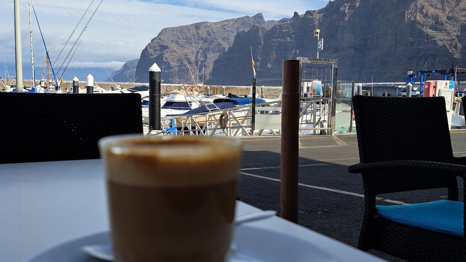
Puravida Bar Los Gigantes: guide, menu and reviews
Los Gigantes Premium promotion Fotos: Jan Trojan, Juan Ramon Vidal y Dominika Nosková / Google Maps. Fuentes enlazadas en la ficha.
Los Gigantes Cliffs
Los Gigantes Diego Delso, Wikimedia Commons, CC BY-SA 3.0.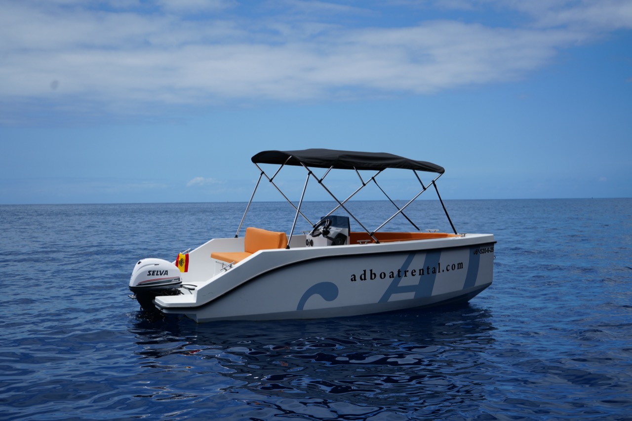
AD Boat Rental: fleet, prices and reviews 2026
Los Gigantes AD Boat Rental; imagen real autorizada para el portal.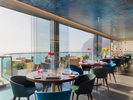
AQUA Restaurant
Los Gigantes Imagen aportada por el propietario del portal para esta ficha.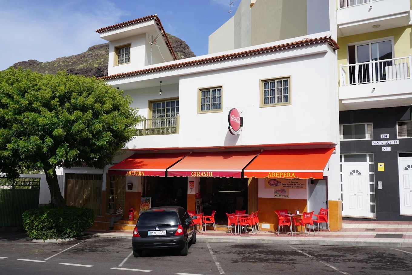
Arepera Girasol
Santiago del Teide Imagen aportada por el propietario del portal para esta ficha.
Avistamiento de cetáceos en Los Gigantes
Los Gigantes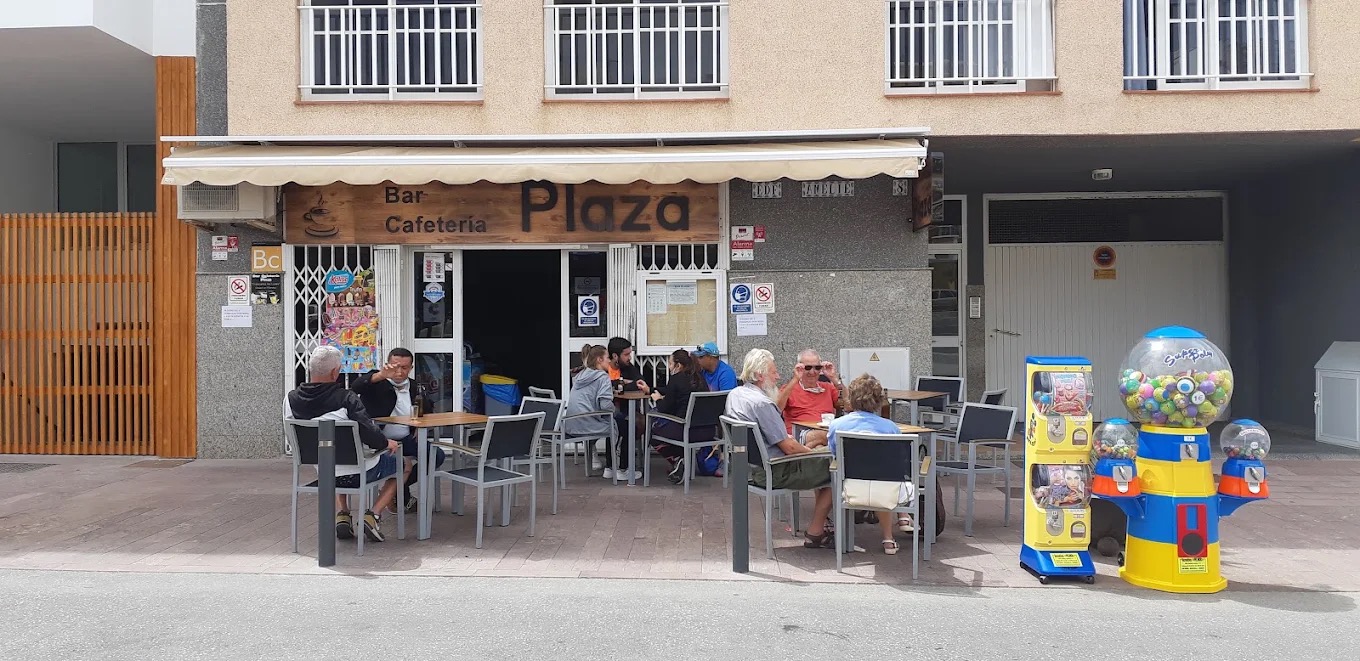
Bar Plaza: sandwiches and carne fiesta in Puerto de Santiago
Puerto de Santiago Imagen aportada por el propietario del portal para esta ficha.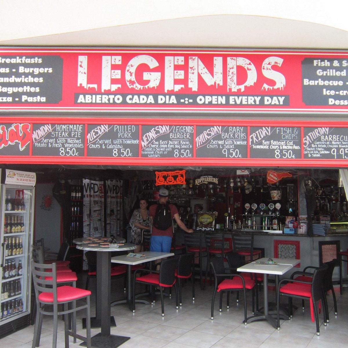
Bar Restaurante Legends
Playa de la Arena Imagen aportada por el propietario del portal para esta ficha.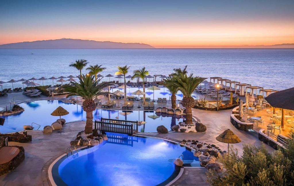
Barceló Santiago
Puerto de Santiago Imagen aportada por el propietario del portal para esta ficha.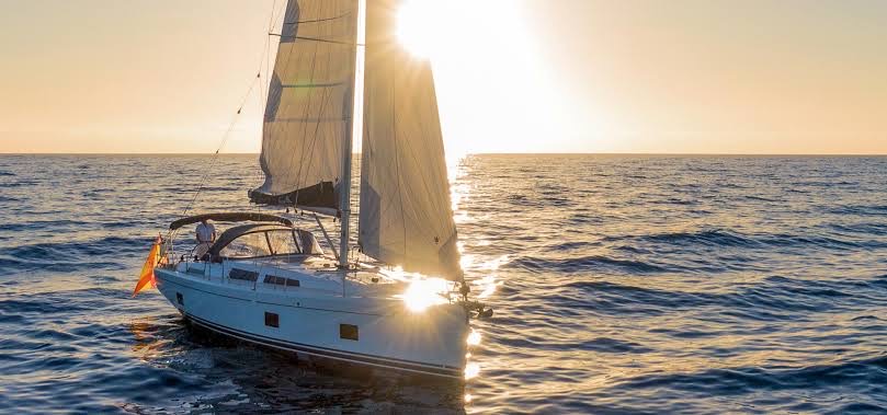
Blue Dream Sailing: sailing from Los Gigantes
Los Gigantes Location not confirmed Imagen aportada por el propietario del portal para esta ficha.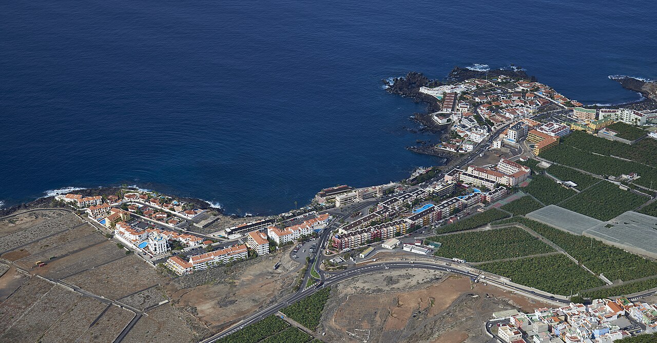
Buceo y snorkel en Los Gigantes
Los Gigantes
Campamento de verano Santiago del Teide 2026
Puerto de Santiago Location not confirmed Foto: Diego Delso / Wikimedia Commons · CC BY-SA 3.0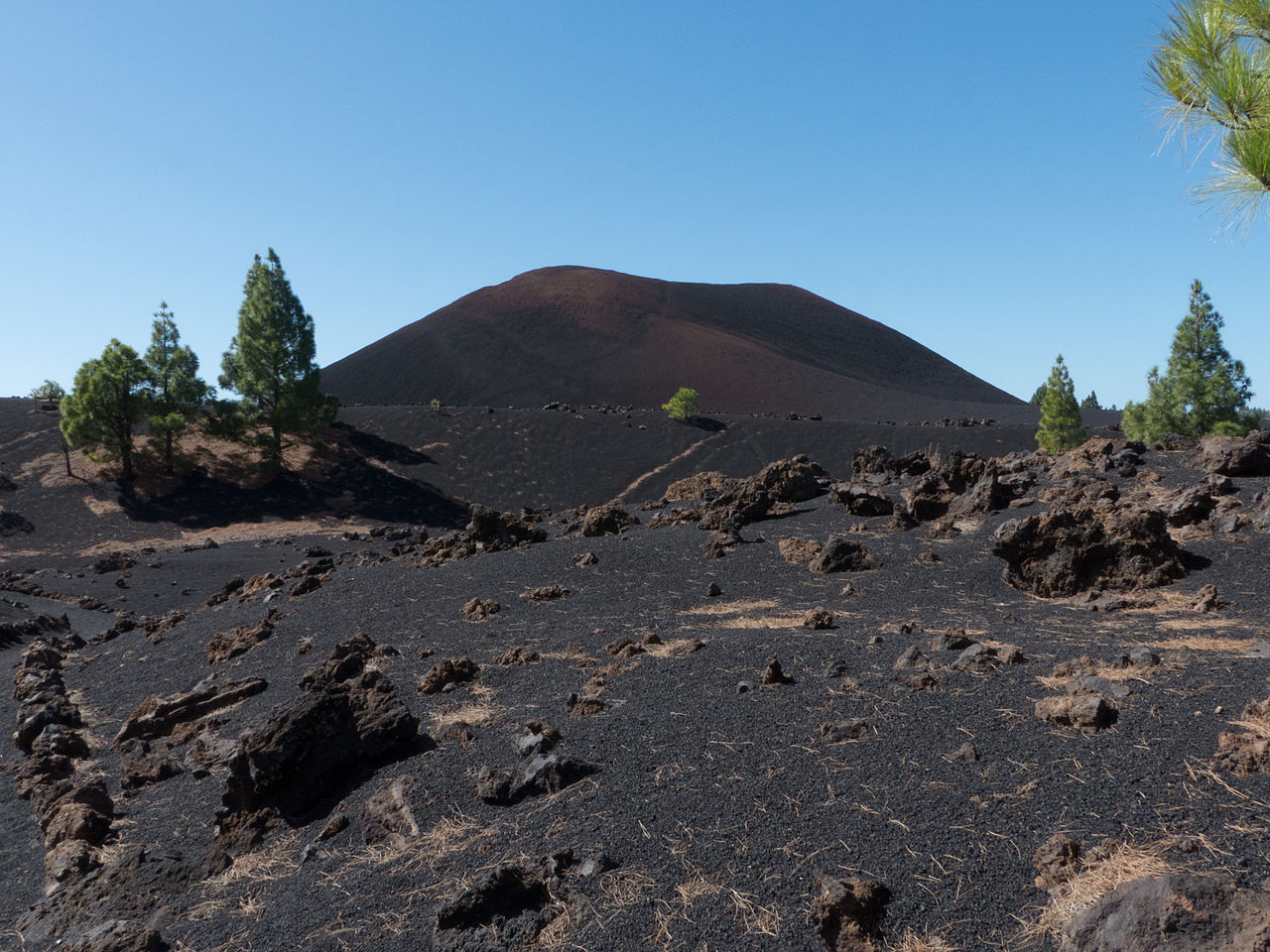
Campaña Almendro en Flor
Santiago del Teide Foto: Paweł "pbm" Szubert / Wikimedia Commons · CC BY-SA 3.0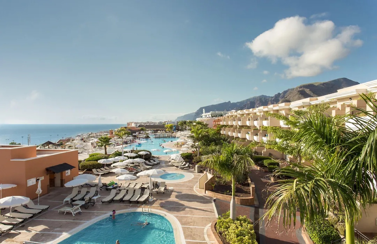
Canarias.com Landmar Los Gigantes: car rental
Los Gigantes Fotografía aportada y autorizada para la ficha de Canarias.com Landmar Los Gigantes.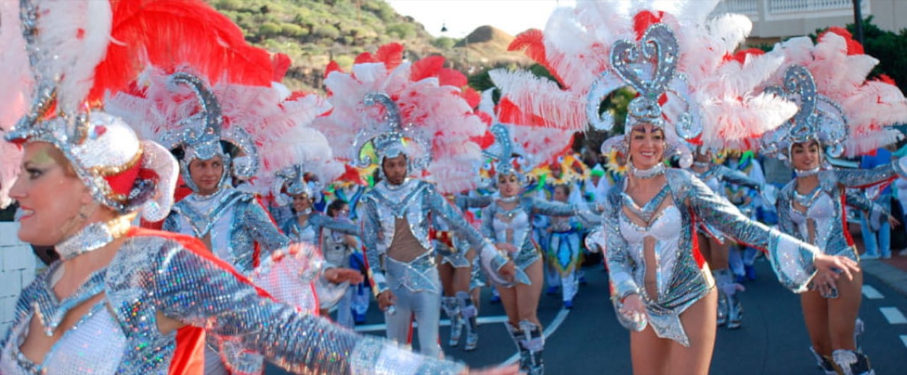
Carnavales de Los Gigantes
Los Gigantes Location not confirmed Fotografía: Turismo de Tenerife. Uso autorizado por la organización.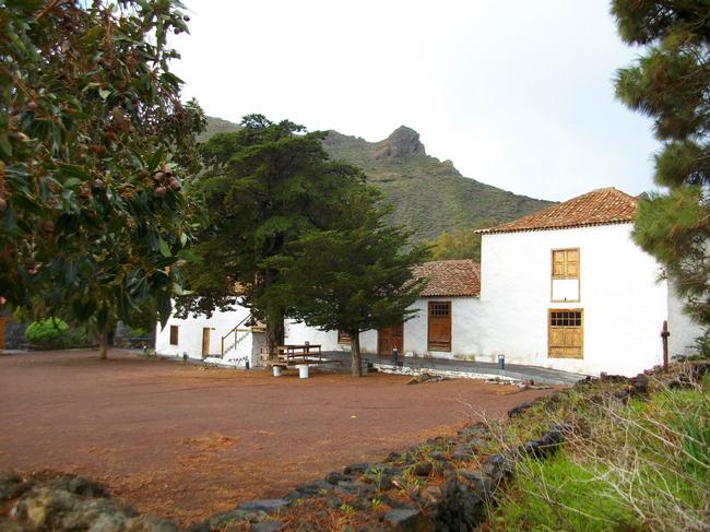
Casa del Patio manor house
Santiago del Teide
Cha Domitila Pottery and Ethnographic Centre
Arguayo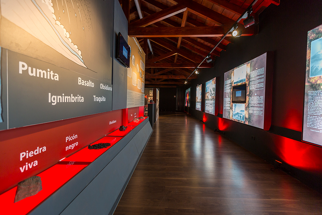
Chinyero Visitor Centre
Santiago del Teide · Chinyero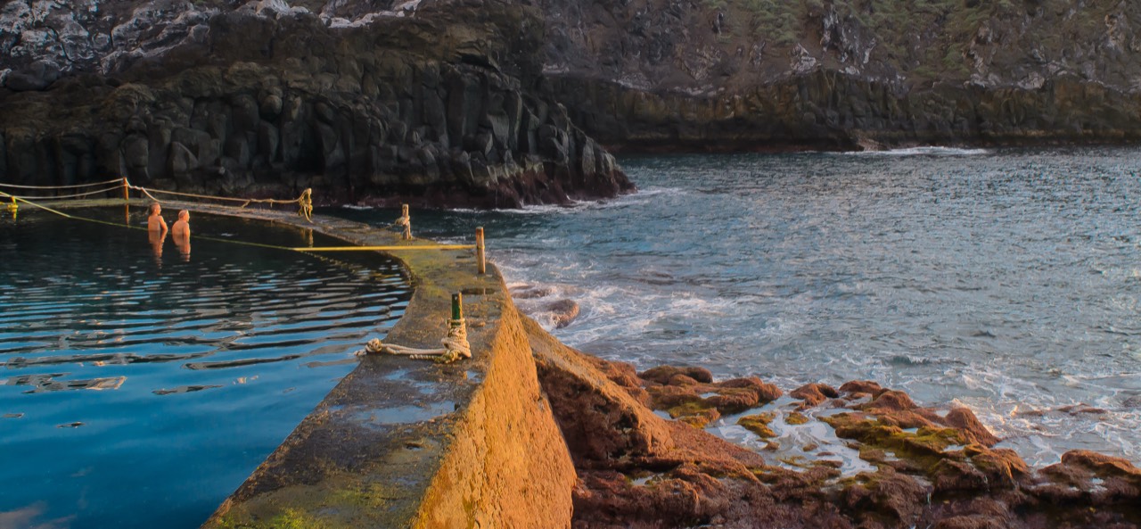
Charco de Isla Cangrejo
Los Gigantes Foto: Thomas Tolkien / Wikimedia Commons · CC BY 2.0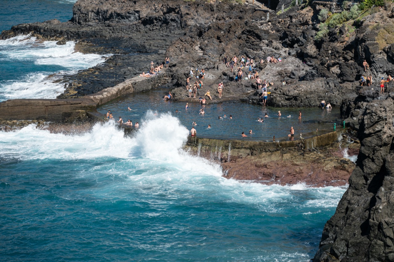
Charco de Las Bajas
Puerto de Santiago Foto: Tuxyso / Wikimedia Commons · CC BY-SA 4.0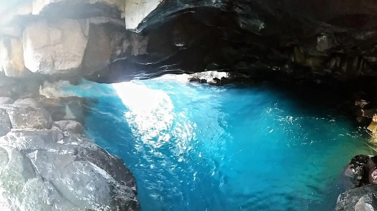
El Tancón and Cueva Azul
Puerto de Santiago Imagen aportada por el propietario del portal para esta ficha. Charcos de Punta Negra
Playa de la Arena Foto de contexto de Playa de la Arena / Punta Barbero: Diego Delso / Wikimedia Commons · CC BY-SA 3.0. No hay foto de licencia libre identificada de los charcos concretos.
CICAR Los Gigantes
Los Gigantes Fotografía aportada y autorizada por CICAR Los Gigantes.
Codeso Restaurante
Los Gigantes Imagen aportada por el propietario del portal para esta ficha.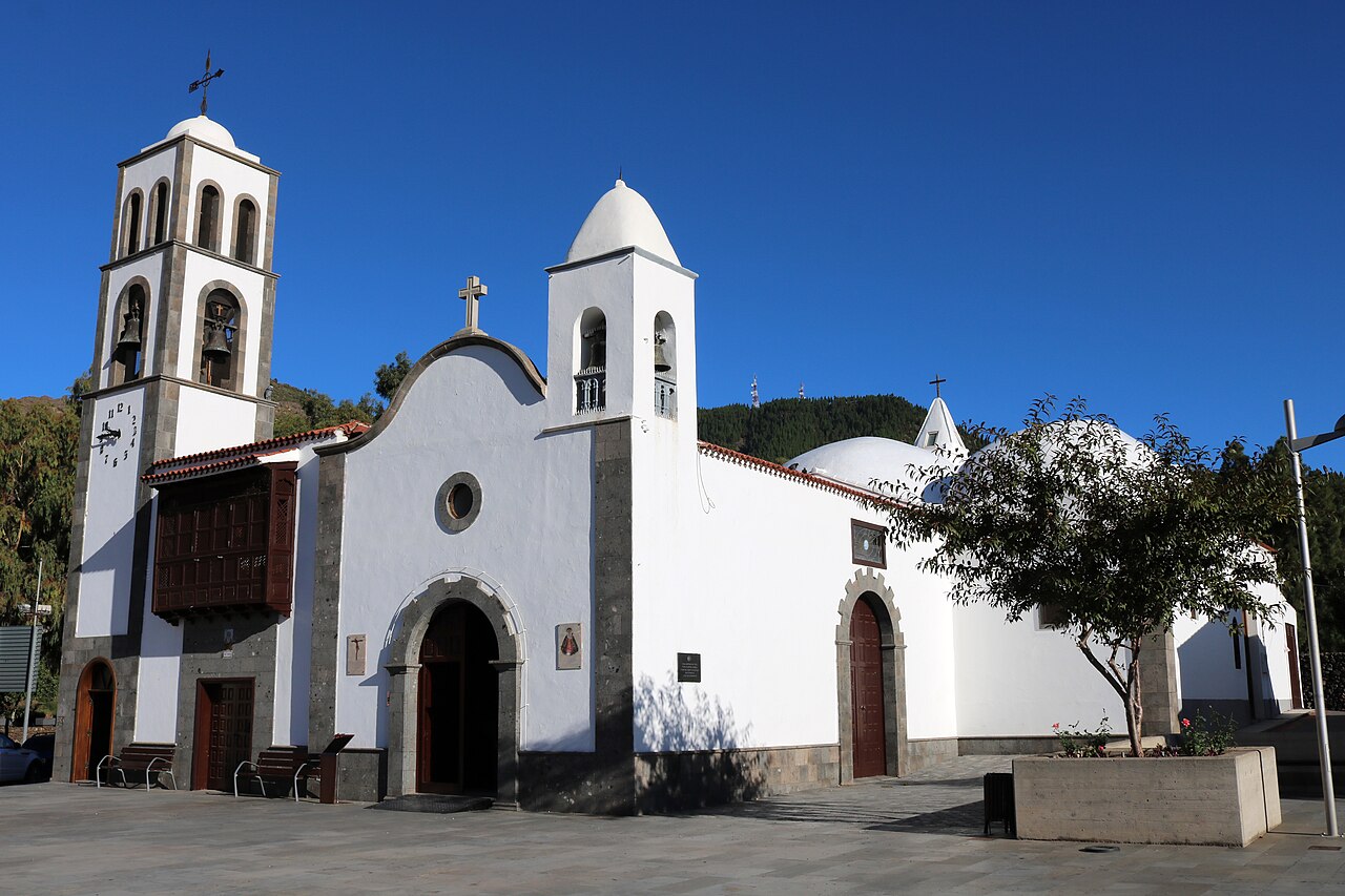
CruX Tamaimo
Santiago del Teide Foto: Wouter Hagens / Wikimedia Commons · CC BY-SA 4.0
Discover Teno at Punta de Teno (Buenavista del Norte)
Buenavista del Norte Imagen aportada por el propietario del portal para esta ficha. Discover Teno: boat trip from Los Gigantes
Los Gigantes Imagen aportada por el propietario del portal para esta ficha.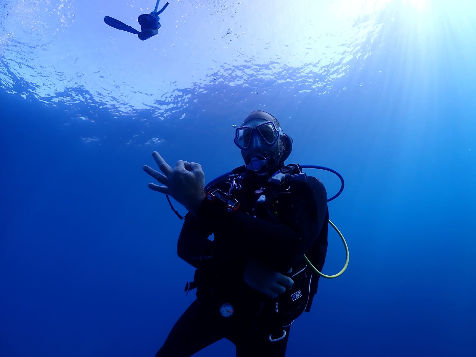
Diving Angel Tenerife: scuba diving in Los Gigantes
Los Gigantes Diving Angel Tenerife; fotografía oficial utilizada con atribución.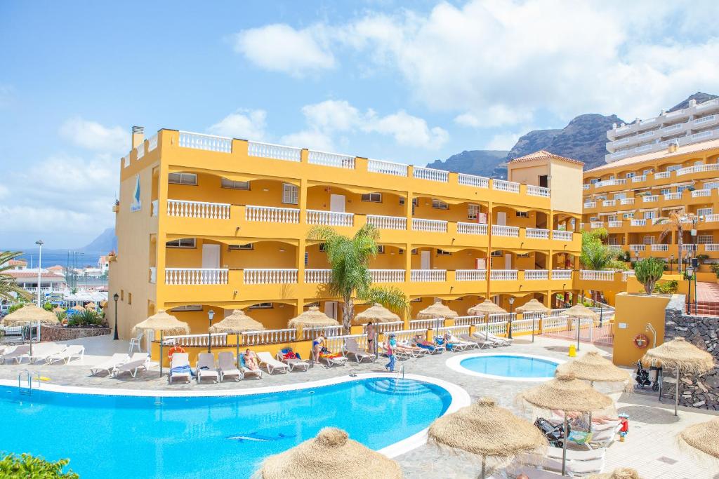
El Marqués Palace
Puerto de Santiago Imagen aportada por el propietario del portal para esta ficha. Ermita de Santiago Apóstol
Santiago del Teide Location not confirmed Imagen real contextual del municipio; fuente y licencia documentadas en IMAGE_CREDITS.md. Estación de Servicios El Retamar
Santiago del Teide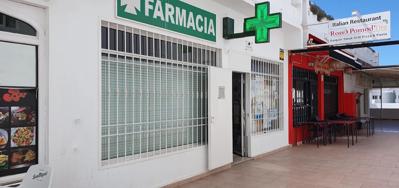
Farmacia Los Gigantes
Los Gigantes Location not confirmed Fotografía aportada y autorizada por Farmacia Los Gigantes. Farmacia Playa La Arena
Playa de la Arena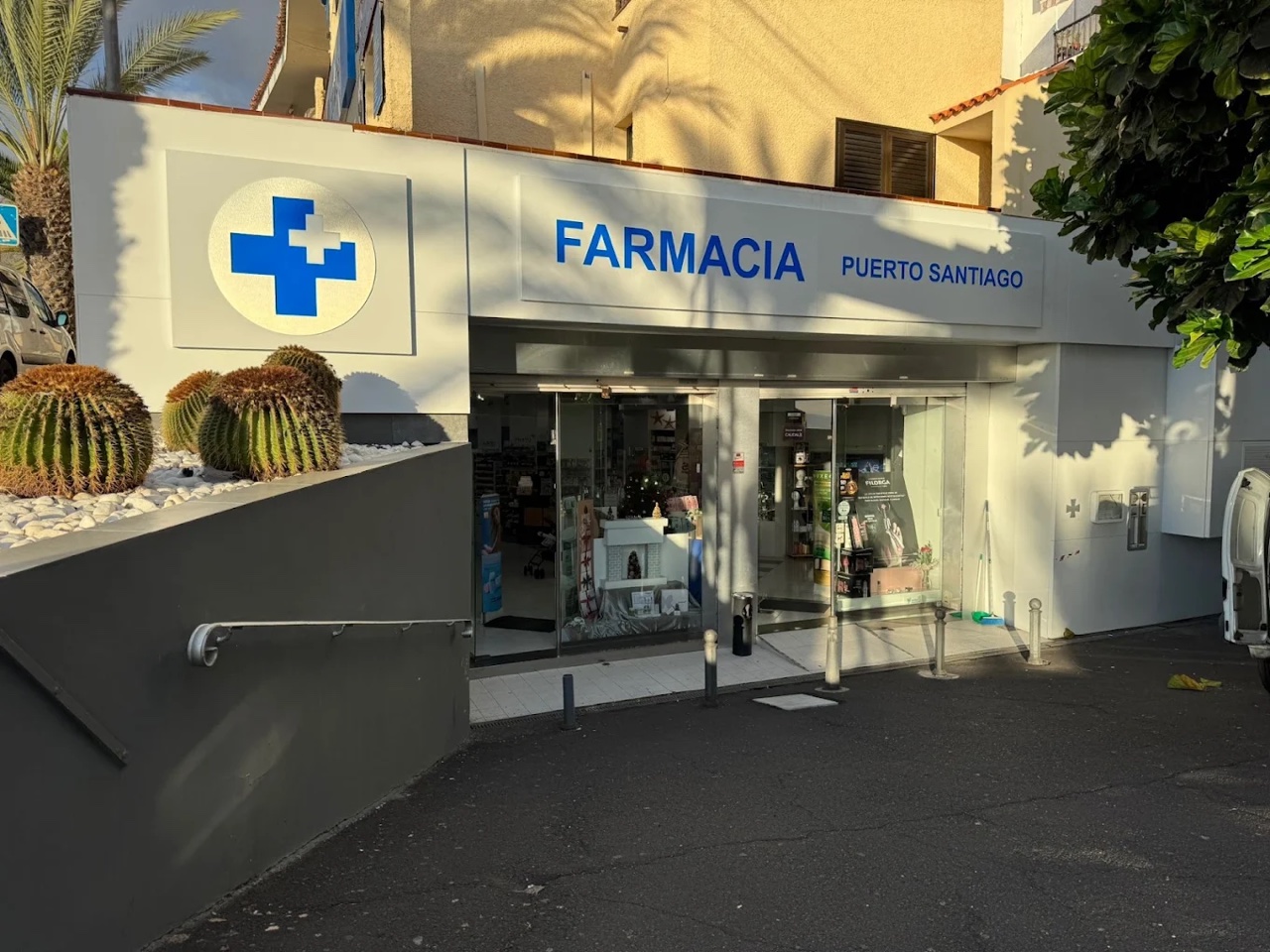
Farmacia Puerto de Santiago
Puerto de Santiago Location not confirmed Fotografía aportada y autorizada por Farmacia Puerto de Santiago. Farmacia Santiago del Teide
Santiago del Teide Location not confirmed Fiesta de la Palabra
Santiago del Teide Location not confirmed Fiestas de Candelaria en Arguayo
Arguayo Location not confirmed Foto: Maesi64 / Wikimedia Commons · CC0 Fiestas de San Pedro Apóstol
Santiago del Teide Location not confirmed Fiestas de Santiago Apóstol
Santiago del Teide Location not confirmed
Fiestas del Carmen en Puerto de Santiago
Puerto de Santiago Location not confirmed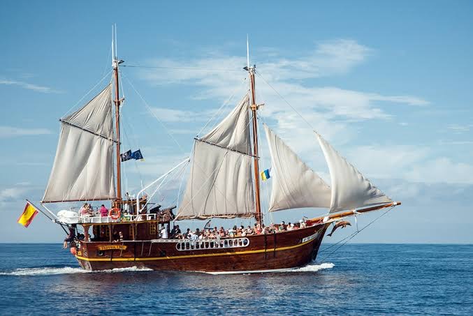
Flipper Uno
Los Gigantes Imagen aportada por el propietario del portal para esta ficha.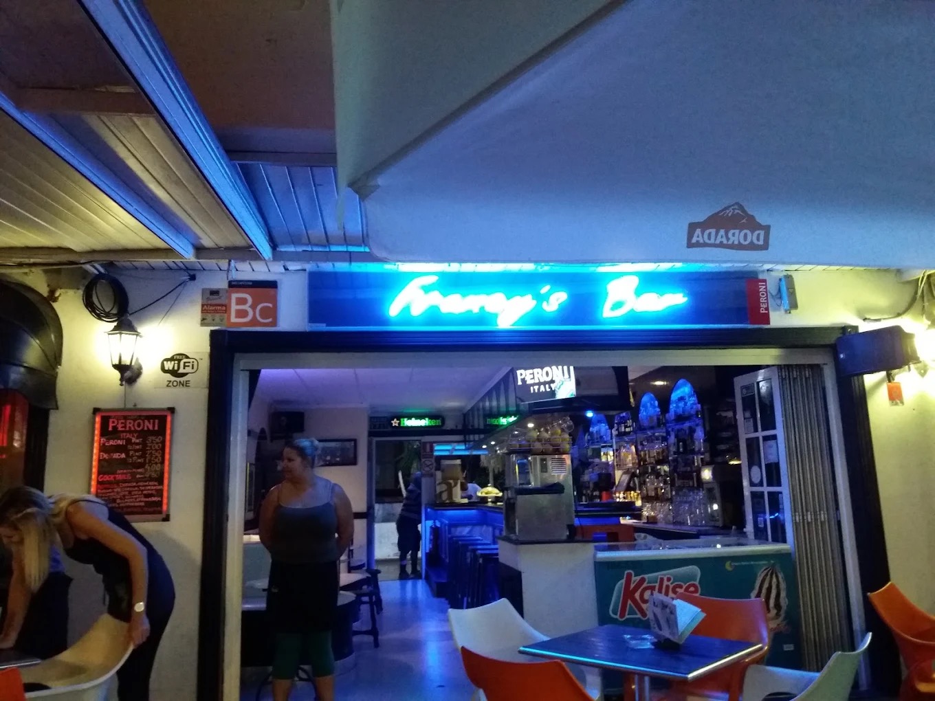
Francy's Bar: sports bar in Puerto de Santiago
Los Gigantes Imagen aportada por el propietario del portal para esta ficha. Church of San Fernando Rey
Santiago del Teide
Kayak bajo los acantilados
Los Gigantes
Klayman Diamond Aparthotel
Los Gigantes Imagen aportada por el propietario del portal para esta ficha. La Casona del Patio
Santiago del Teide Location not confirmed
Landmar Costa Los Gigantes
Puerto de Santiago Imagen aportada por el propietario del portal para esta ficha.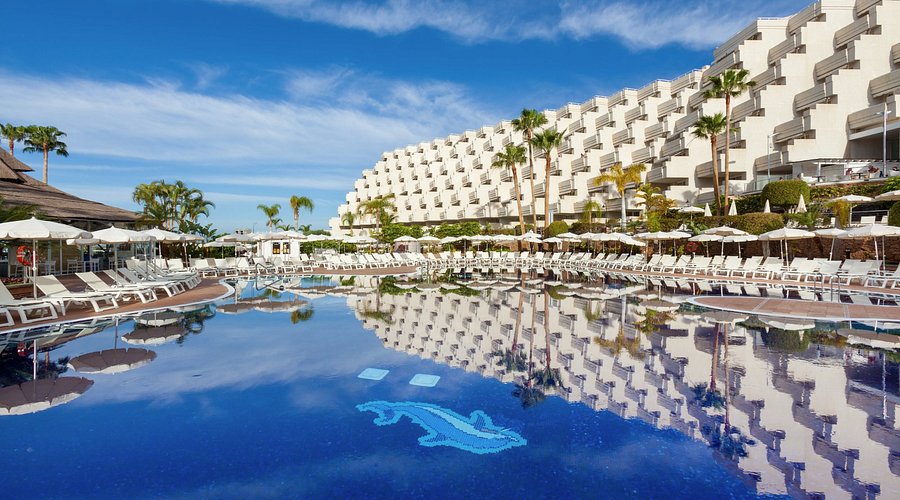
Landmar Playa La Arena
Playa de la Arena Imagen aportada por el propietario del portal para esta ficha.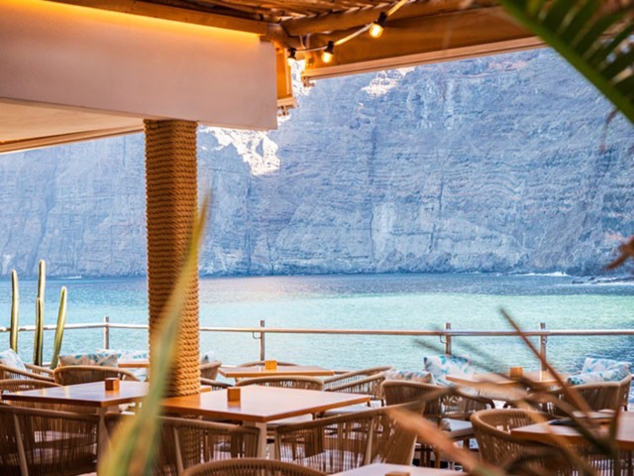
Los Gigantes Beach Club: guide to the seafront restaurant
Los Gigantes Los Gigantes Beach Club; imagen real autorizada para el portal. Los Gigantes Diving Centre
Los Gigantes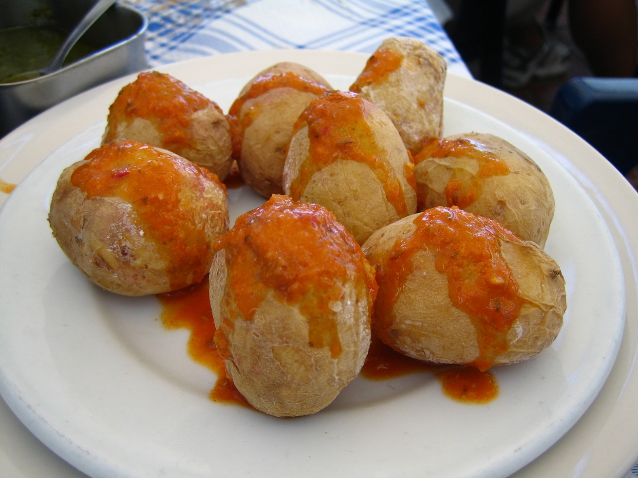
Macaronesia Coffee Shop Bakery
Puerto de Santiago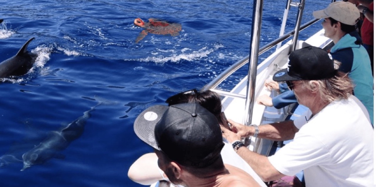
Marítima Acantilados: boat trips from Los Gigantes
Los Gigantes
Masca
Masca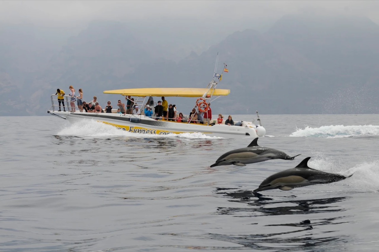
Masca Express: boat trip and transfer from Masca
Masca Imagen aportada por el propietario del portal para esta ficha.
Mirador de Archipenque
Los Gigantes Foto: -wuppertaler / Wikimedia Commons · CC BY 4.0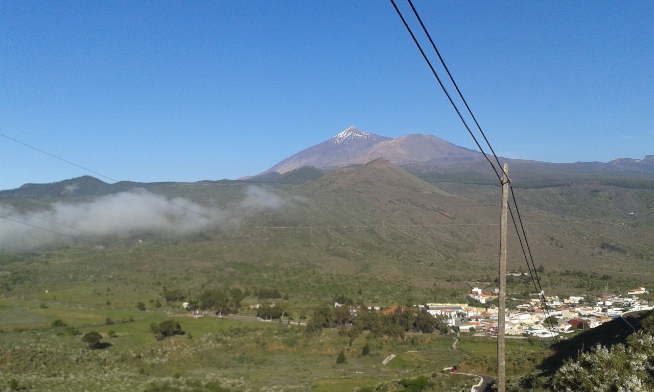
Mirador de Cherfe viewpoint: complete 2026 guide
Masca Foto: Falk2 / Wikimedia Commons · CC BY-SA 4.0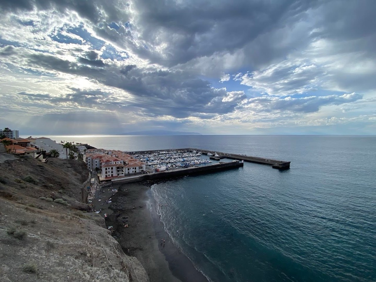
Mirador de Los Guíos
Los Gigantes Foto cedida por el propietario del portal, tomada en el propio mirador.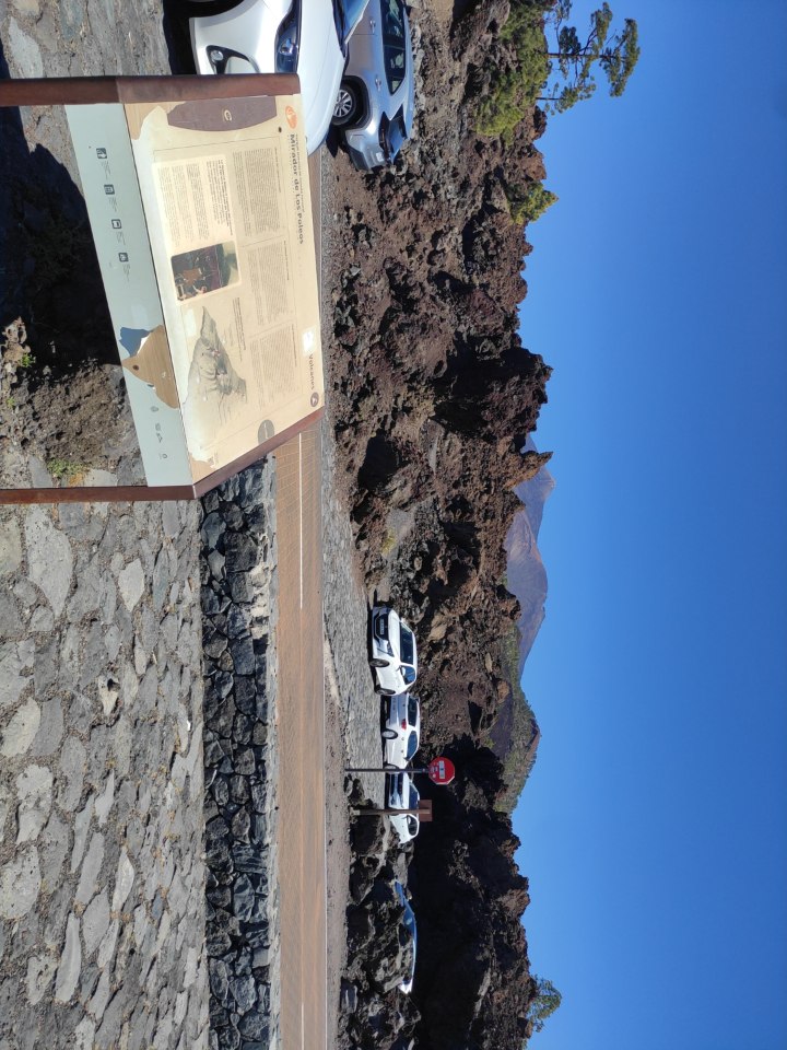
Los Poleos viewpoint: complete 2026 guide
Chío Foto: Fry72 / Wikimedia Commons · CC BY-SA 4.0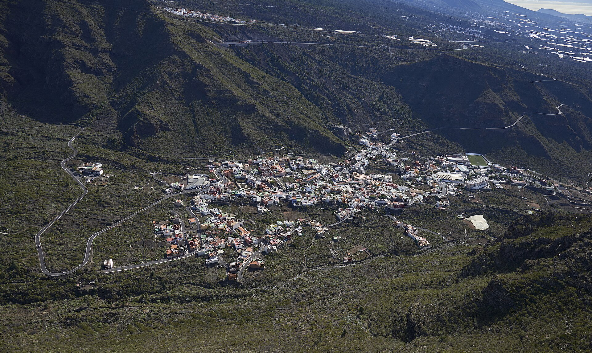
Tamaimo viewpoint
Tamaimo
Mirador por Teide
Whole municipality
Punta del Roque viewpoint
Puerto de Santiago Foto cedida por el propietario del portal, tomada en el propio mirador.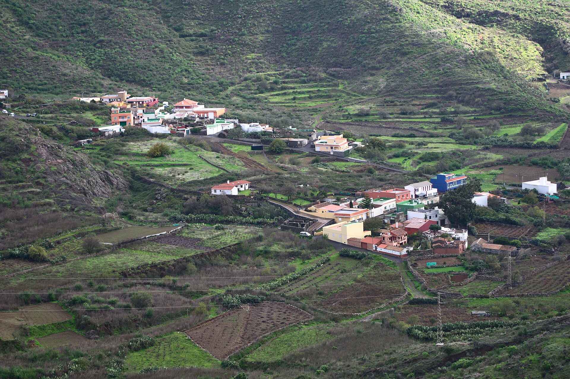
Mirador Valle de Arriba
Santiago del Teide Location not confirmed Imagen real contextual del municipio; fuente y licencia documentadas en IMAGE_CREDITS.md. Museo del Pescador
Puerto de Santiago Location not confirmed Imagen real contextual del municipio; fuente y licencia documentadas en IMAGE_CREDITS.md.
Nashira Uno: whale and dolphin watching in Los Gigantes
Los Gigantes Imagen aportada por el propietario del portal para esta ficha.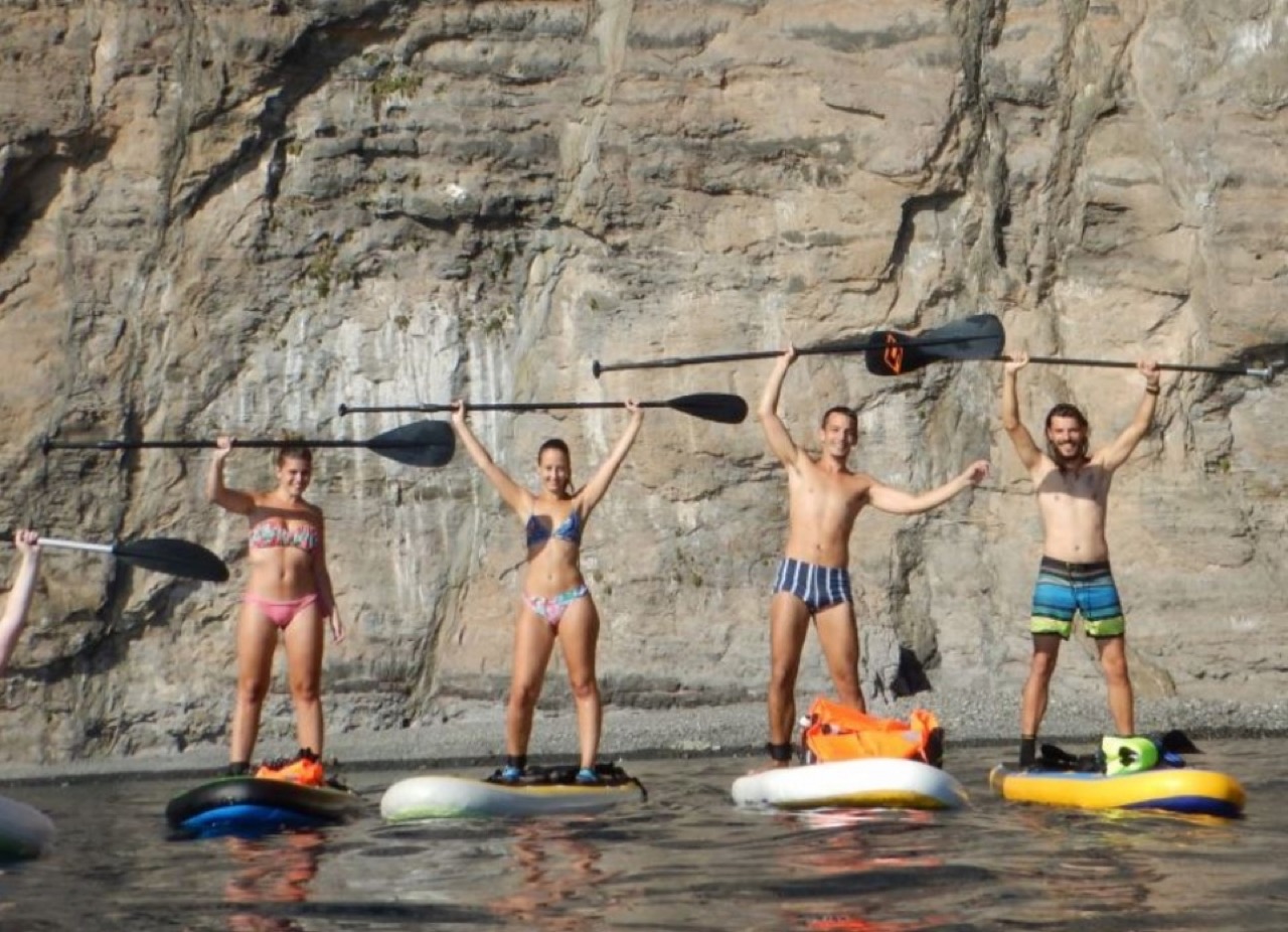
Nautilo's SUP: kayak and paddleboard in Los Gigantes
Los Gigantes Imagen aportada por el propietario del portal para esta ficha. Navidad en Santiago del Teide
Santiago del Teide Location not confirmed Noche de San Juan en Puerto de Santiago
Puerto de Santiago Location not confirmed Oficina de Turismo de Puerto de Santiago
Puerto de Santiago Oficina Excursiones: travel agency in Puerto de Santiago
Los Gigantes Fotografía aportada y autorizada por CICAR Los Gigantes.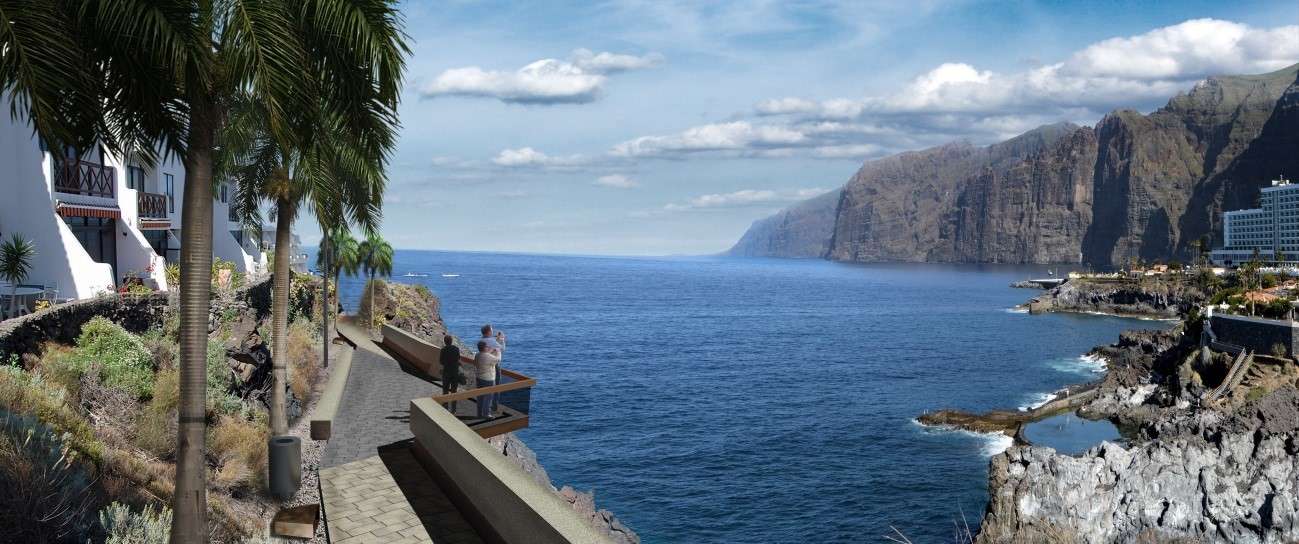
Paseo de La Hondura
Puerto de Santiago Location not confirmed Imagen aportada por el propietario del portal para esta ficha.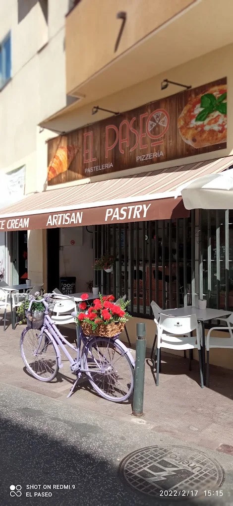
Pastelería El Paseo
Puerto de Santiago Imagen aportada por el propietario del portal para esta ficha.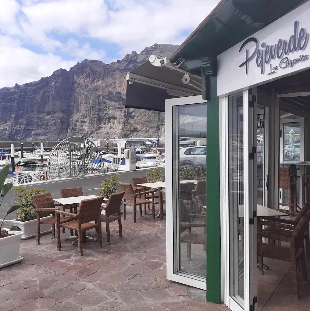
Pejeverde Los Gigantes
Los Gigantes Imagen aportada por el propietario del portal para esta ficha.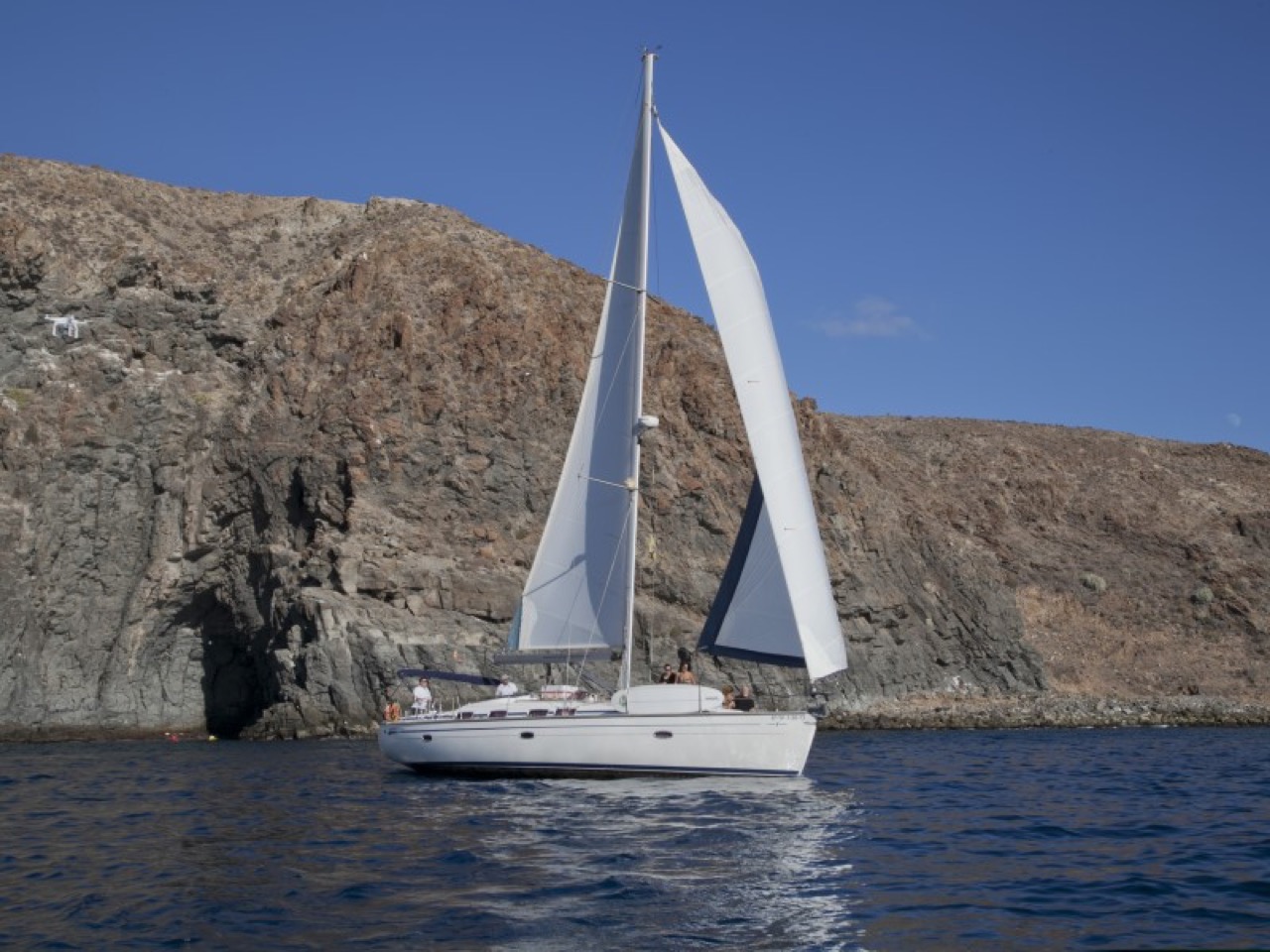
Picarus Sailing Club: whale watching in Los Gigantes
Los Gigantes Imagen aportada por el propietario del portal para esta ficha.
Oasis Los Gigantes swimming pools
Los Gigantes Imagen oficial de Oasis Los Gigantes, utilizada con autorización. Playa de La Arena
Playa de la Arena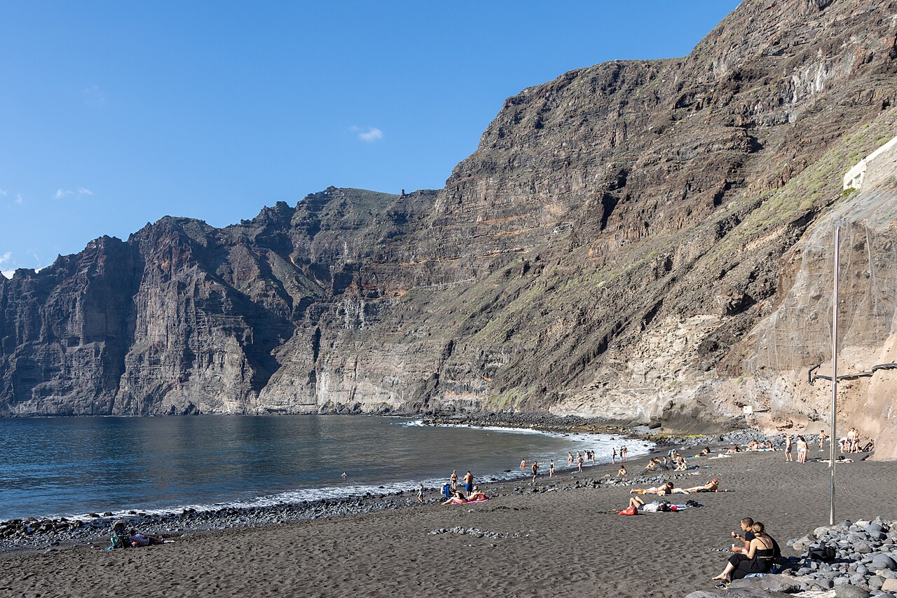
Playa de Los Guíos
Los Gigantes Photo: Mike Peel (www.mikepeel.net). CC BY-SA 4.0 — https://creativecommons.org/licenses/by-sa/4.0/ · Source: https://commons.wikimedia.org/wiki/File:At_Los_Gigantes_2022_012.jpg · Resized.
Playa de Masca
Masca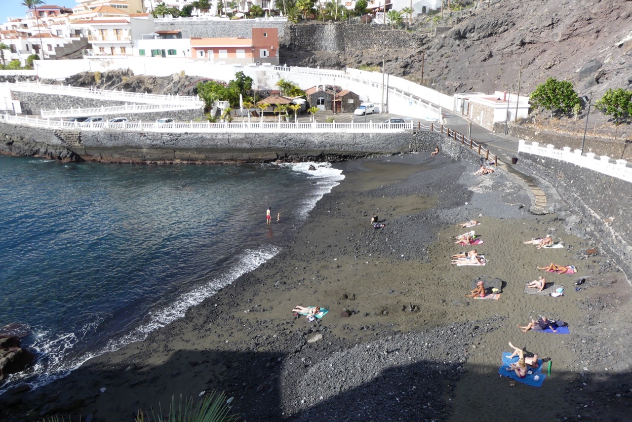
Playa de Puerto de Santiago
Puerto de Santiago Foto: G.Lanting / Wikimedia Commons · CC BY 4.0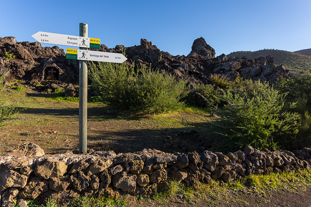
PR-TF 43.2: Los Partidos de Franquis - Chinyero
Los Partidos de Franquis Location not confirmed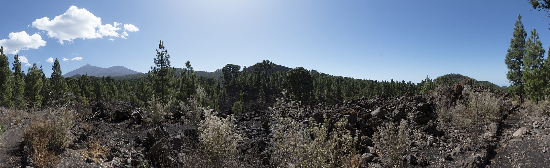
PR-TF 43.3: Ruta circular del Chinyero
Santiago del Teide · Chinyero Location not confirmed Foto: Marco Felhofer / Wikimedia Commons · CC BY-SA 3.0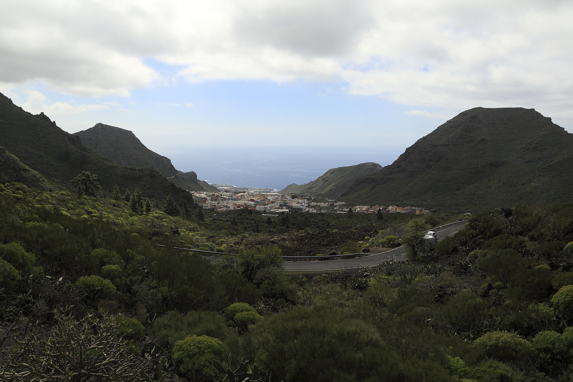
PR-TF 65: Santiago del Teide – Puerto de Santiago
Santiago del Teide Foto: Falk2 / Wikimedia Commons · CC BY-SA 4.0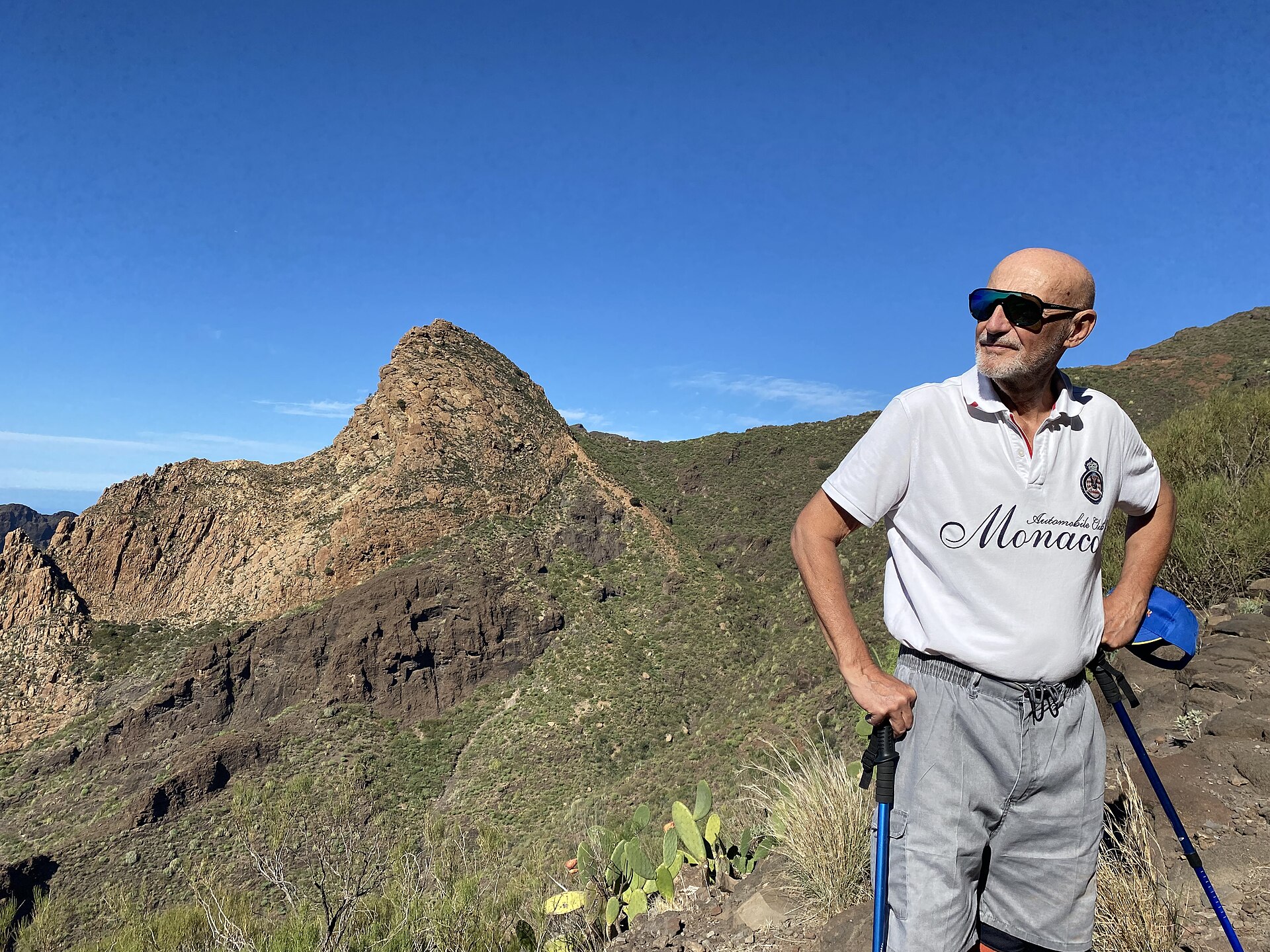
PR-TF 65.1: El Molledo – Risco Blanco
El Molledo Location not confirmed Foto: 9002Jack / Wikimedia Commons · CC0 PR-TF 65.2: Circular de Guama y Tamaimo
Tamaimo Location not confirmed Foto: Wouter Hagens / Wikimedia Commons · CC BY-SA 4.0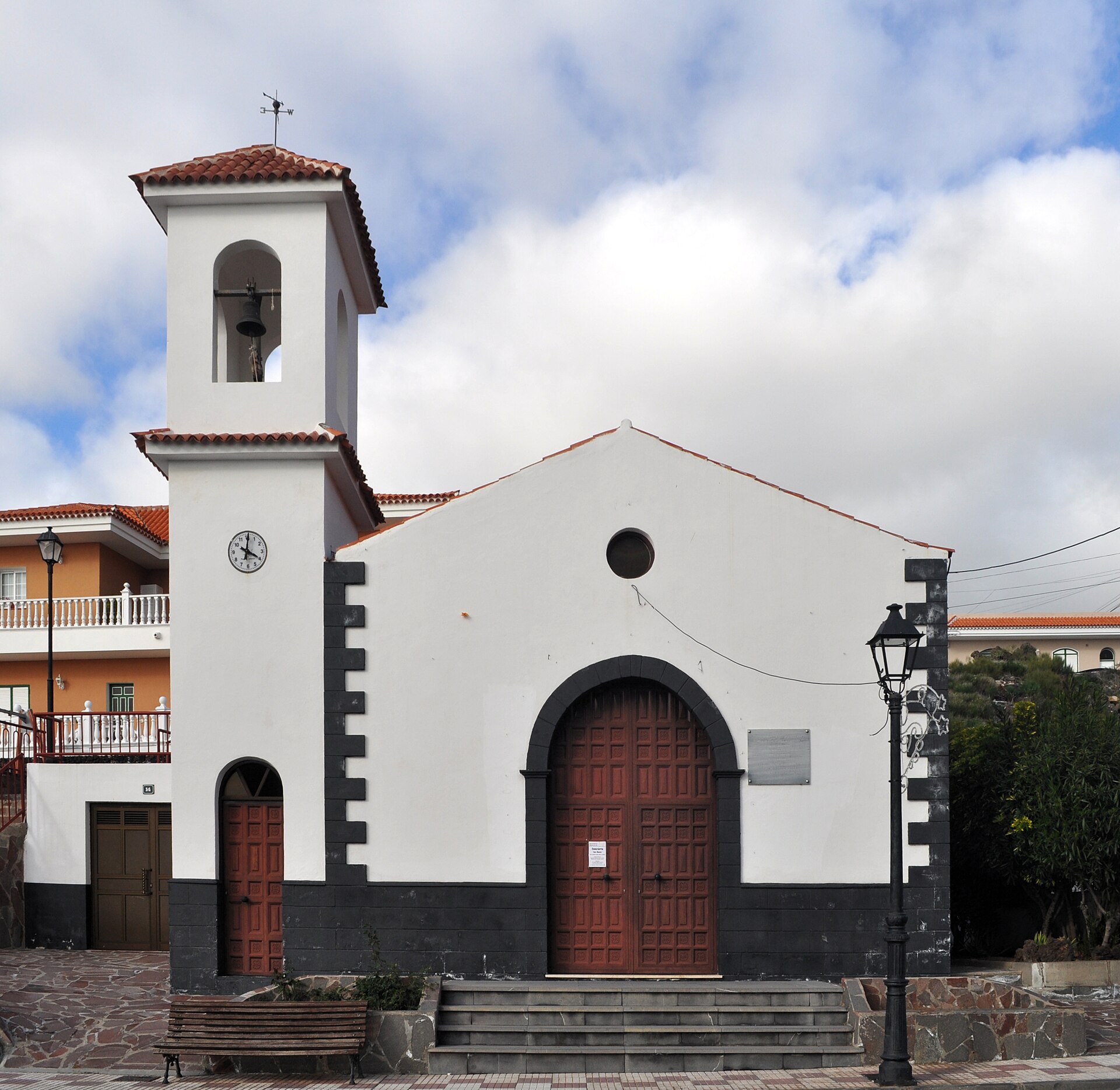
PR-TF 65.3: El Molledo – Degollada del Roque
El Molledo Location not confirmed Foto: Paweł "pbm" Szubert / Wikimedia Commons · CC BY-SA 3.0 PR-TF 65.4: Valle de Arriba – Arguayo
Valle de Arriba Location not confirmed Foto: Paweł "pbm" Szubert / Wikimedia Commons · CC BY-SA 3.0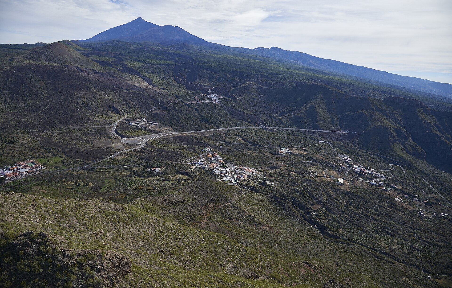
PR-TF 65.5: El Molledo – Las Manchas
El Molledo Location not confirmed Foto: Wouter Hagens / Wikimedia Commons · CC BY-SA 4.0 Puerto de Santiago
Puerto de Santiago Los Gigantes Marina: parking, boats and excursions
Los Gigantes Reserva Natural Especial del Chinyero
Chío · Chinyero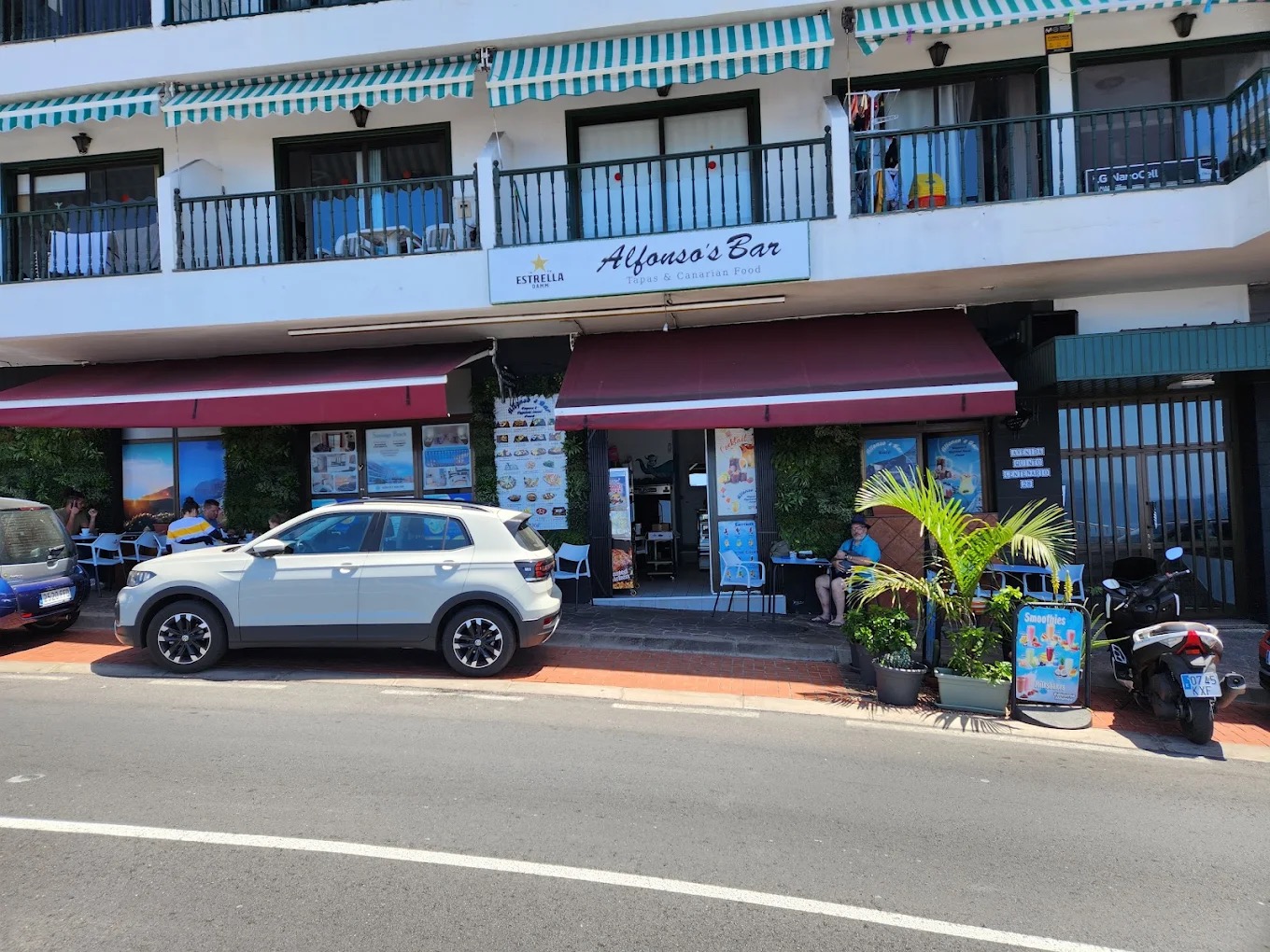
Restaurante Alfonso
Puerto de Santiago Imagen aportada por el propietario del portal para esta ficha.
Restaurante El Patio: Canarian cuisine in Santiago del Teide
Puerto de Santiago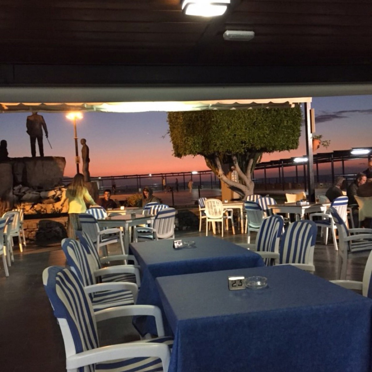
Restaurante Plaza Puerto de Santiago
Puerto de Santiago Foto cedida por el negocio, autorización declarada por el propietario del portal.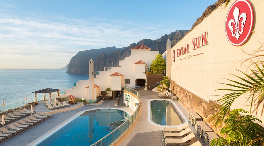
Royal Sun Resort
Los Gigantes Imagen aportada por el propietario del portal para esta ficha. Ruta cultural por Santiago del Teide
Santiago del Teide Ruta de senderismo por el Macizo de Teno
Santiago del Teide Location not confirmed Foto: 9002Jack / Wikimedia Commons · CC0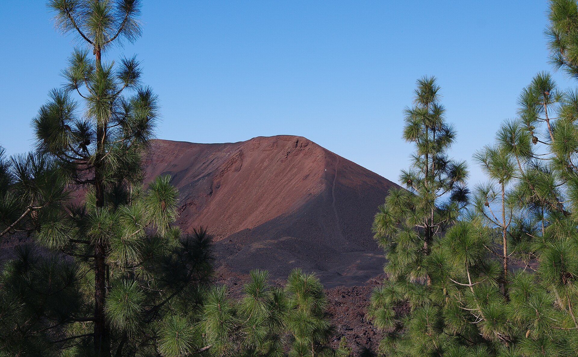
Ecotour Route: Between Almond Trees and Volcanoes
Santiago del Teide Location not confirmed Foto: El Grafo / Wikimedia Commons · CC BY-SA 4.0 Ruta por el Macizo de Teno
Santiago del Teide Foto real del macizo de Teno · Wikimedia Commons · CC BY-SA 3.0 Ruta por Masca y el macizo de Teno
Masca Santiago del Teide casco
Santiago del Teide Semana Santa en Santiago del Teide
Santiago del Teide Location not confirmed Sendero PR-TF 65.4 Valle de Arriba – Arguayo
Santiago del Teide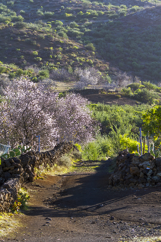
SL-TF 60: Santiago del Teide - Arguayo (Almond Blossom Route)
Santiago del Teide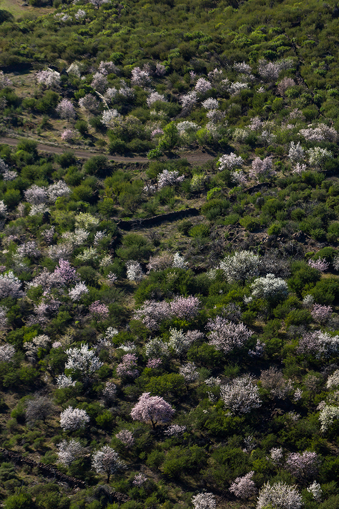
SL-TF 60.1: Valle de Arriba
Valle de Arriba Location not confirmed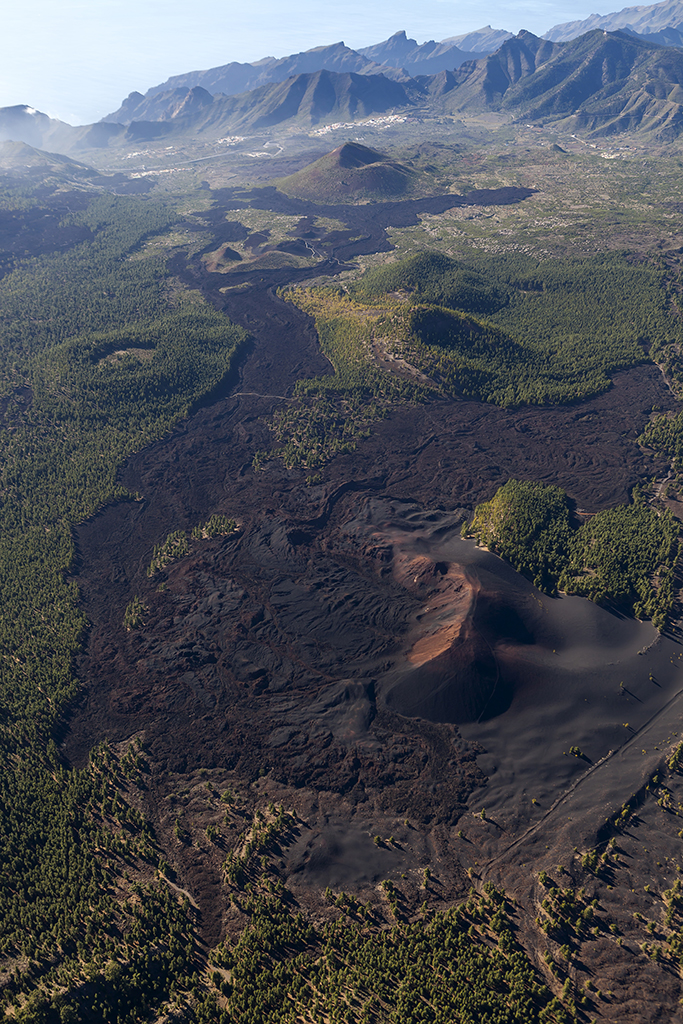
SL-TF 60.2: Las Manchas
Las Manchas Location not confirmed SuperDino Los Gigantes: HiperDino supermarket
Los Gigantes
Supermercado Las Flores
Los Gigantes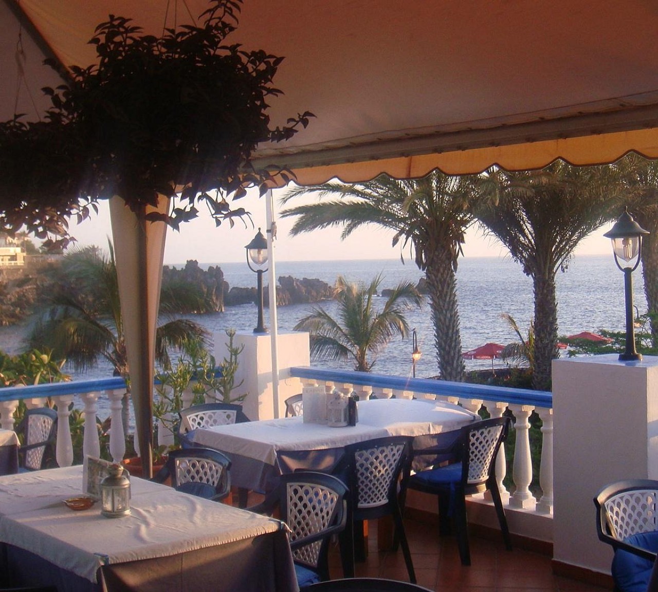
Tapas y Más Tapas
Playa de la Arena Foto cedida por el negocio, autorización declarada por el propietario del portal.
Taxi Santiago del Teide and Los Gigantes
Los Gigantes Fotografía aportada y autorizada por Taxi Los Gigantes. Tenerife Vive+
Playa de la Arena Foto: Wouter Hagens / Wikimedia Commons · CC BY-SA 4.0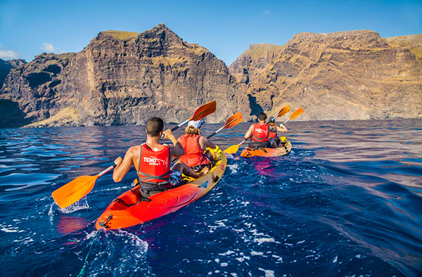
Teno Activo: kayak and snorkelling in Los Gigantes
Los Gigantes Imagen aportada por el propietario del portal para esta ficha.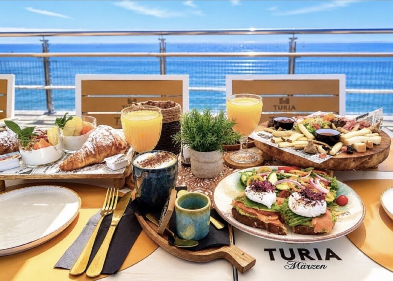
The View Puerto de Santiago
Puerto de Santiago Foto cedida por el negocio, autorización declarada por el propietario del portal.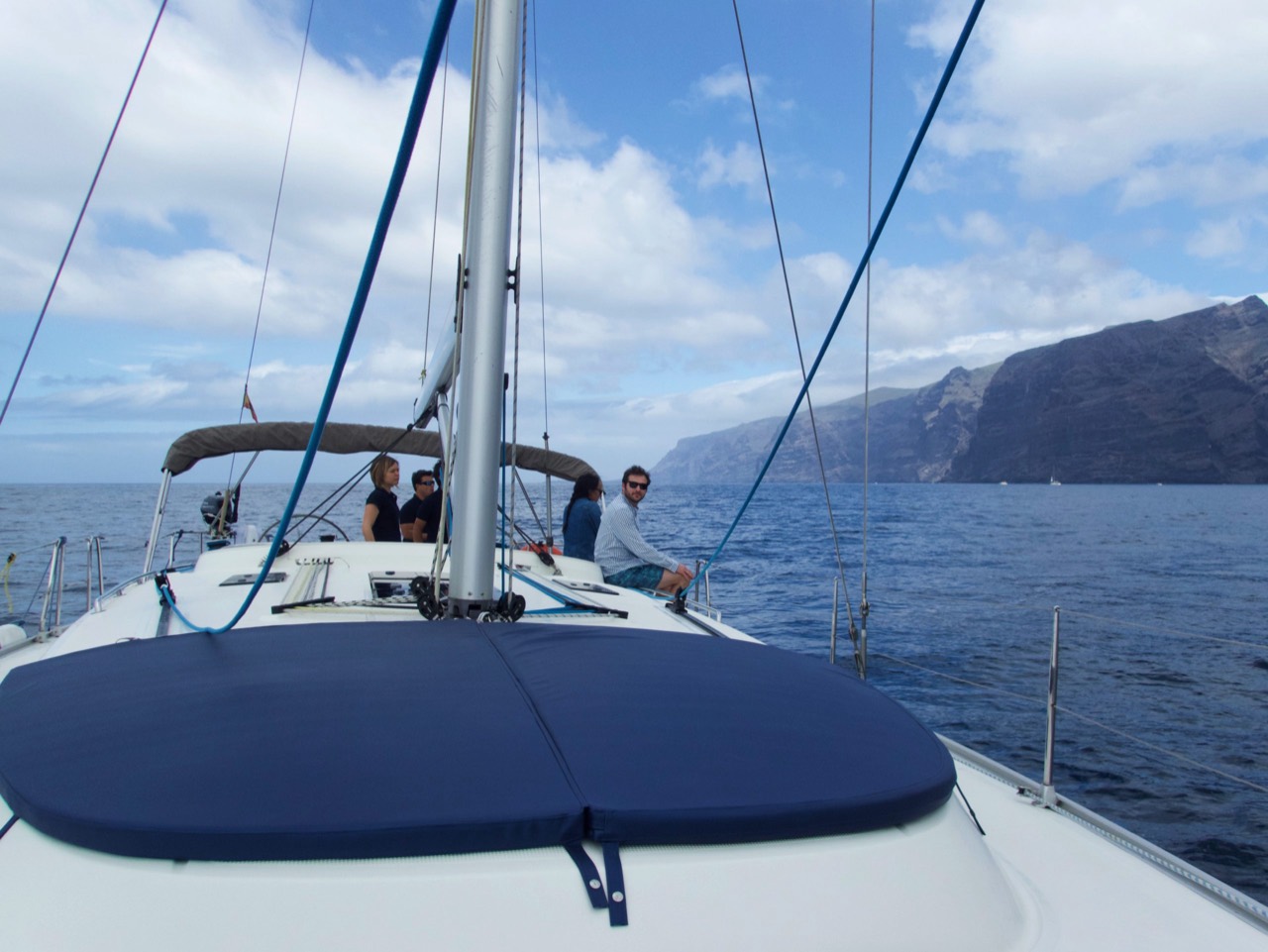
Third Element Charters: whale watching and sailing in Los Gigantes
Los Gigantes
Tipsy Los Gigantes
Los Gigantes Imagen aportada por el propietario del portal para esta ficha. Trekking Masca: hiking information for Masca
Masca Santiago del Teide Cycle Tour 2026
Tamaimo Location not confirmed XXI Carrera Vertical Subida del Panadero
Tamaimo Location not confirmed Foto: Falk2 / Wikimedia Commons · CC BY-SA 4.0